You are using an outdated browser. Please
upgrade your browser to improve your experience.

Offline map and trail guide for the Banks Vernonia State Trail in Oregon

Banks Vernonia State Trail Offline Map, Oregon
by Seasonal Spring
What is it about?
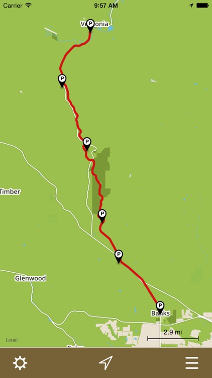
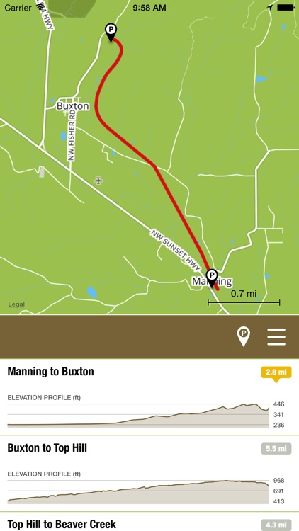
Offline map and trail guide for the Banks Vernonia State Trail in Oregon. Fully interactive map complete with entire trail by segment between official parking areas, GPS location, and elevation profiles.
App Details
Version
1.0
Rating
NA
Size
12Mb
Genre
Navigation Travel
Last updated
May 30, 2015
Release date
May 29, 2015
More info
App Screenshots
App Store Description
Offline map and trail guide for the Banks Vernonia State Trail in Oregon. Fully interactive map complete with entire trail by segment between official parking areas, GPS location, and elevation profiles.
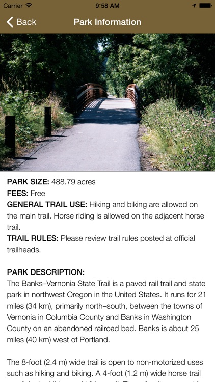
The Banks–Vernonia State Trail is a paved rail trail and state park in Northwest Oregon. It runs for 21 miles (34 km), primarily north–south, between the towns of Vernonia in Columbia County and Banks in Washington County on an abandoned railroad bed. Banks is about 25 miles (40 km) west of Portland.
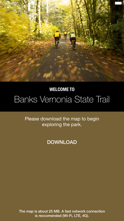
Cell phone coverage along the Banks Vernonia State Trail is spotty. Our app solves this problem! Once the map is downloaded, you’re free to explore the entire trail without a network connection and always know exactly where you are.
FEATURES:
• Simple, easy-to-use interface.
• Fully interactive offline map.
• GPS location shown on map.
• Navigate the trail in its entirety.
• Turn trail segments on/off between official parking areas
• Interactive elevation profiles.
• Trail segment lengths.
• Parking locations shown on map.
• Open parking locations in Apple Maps for driving directions
• General park information.
Note: The Banks Vernonia State Trail app is designed for the iPhone. Although it can be installed on GPS-enabled iPads (iPads with Wi-Fi + Cellular), it’s not formatted for the larger iPad screen - it runs doubled like all other iPhone apps.
Proudly made in Banks Oregon by Scott D. Smith. I sincerely hope you like it!
Disclaimer:
AppAdvice does not own this application and only provides images and links contained in the iTunes Search API, to help our users find the best apps to download. If you are the developer of this app and would like your information removed, please send a request to takedown@appadvice.com and your information will be removed.
AppAdvice does not own this application and only provides images and links contained in the iTunes Search API, to help our users find the best apps to download. If you are the developer of this app and would like your information removed, please send a request to takedown@appadvice.com and your information will be removed.