You are using an outdated browser. Please
upgrade your browser to improve your experience.
The BerlinWallArt tours, The Wall Before The Fall, gives a view of the original Wall as it was and where it was in May of 1989

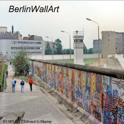
BerlinWallArt
by Edward Murray
What is it about?
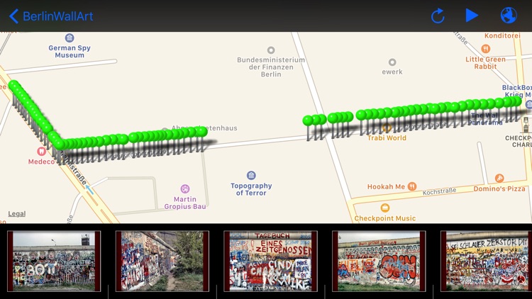
The BerlinWallArt tours, The Wall Before The Fall, gives a view of the original Wall as it was and where it was in May of 1989. The 330 color images, are divided into four popular routes. These unique photos are geographically positioned in their original locations to provide a graphic experience of the Wall. The images are easily accessible through automatic GPS initiated changes.
App Screenshots
App Store Description
The BerlinWallArt tours, The Wall Before The Fall, gives a view of the original Wall as it was and where it was in May of 1989. The 330 color images, are divided into four popular routes. These unique photos are geographically positioned in their original locations to provide a graphic experience of the Wall. The images are easily accessible through automatic GPS initiated changes.
These tours allow you to bring the past into the present. The images are GPS located along the inlaid stone route that traces The Wall's former path through Berlin, and may be followed on the map in the App. For use outside Berlin the pictures remain viewable and locatable through the App. use of the maps and images together.
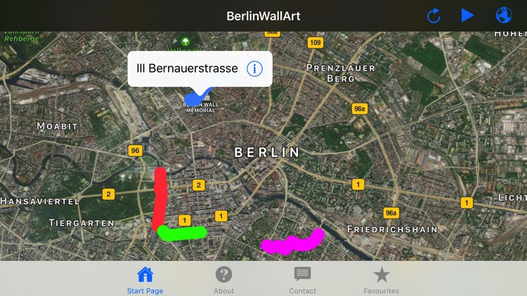
The following tour routes are in the BerlinWallArt App:
Route I - Reichstag to Potsdamerplatz.
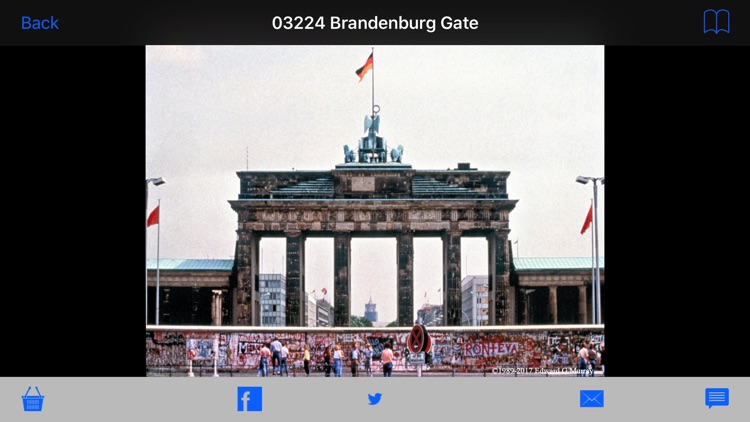
This tour route covers from the River Spree behind the Reichstag, (this area is sometimes secured), down Ebertstrasse past the Brandenburg Gate, next to the Tiergarten Park and the Holocaust Memorial, ending at the historic crossroads of Potsdamerplatz. Approx. 1.2 km ; 66 images
Route II- Potsdamerplatz to Checkpoint Charlie.
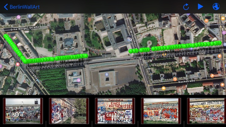
This tour route covers from historic Potsdamerplatz to the famous Checkpoint Charlie, the most well known of Allied Checkpoints. This route takes you on Stresemannstrasse, to Niederkirchnerstrasse, past the renowned exhibition space, Martin Gropius Bau (across from the Brandenburg Parliament), onto Zimmerstrasse where the tour terminates at Friedrichstrasse, Checkpoint Charlie. Approx. 0.6 km ; 76 images
Route III- Bernauerstrasse
This tour route goes along Bernauerstrasse which became infamous for the people who escaped by jumping from their windows into the arms of waiting West Berliners. At one end, by the SBahn station, Nordbahnof, lies the visitor center for the Berlin Wall Memorial as well as one end of the " Park". The App continues to the other end near the soccer stadium. Approx. 1.5 km ; 76 images
Route IV- Bethaniendamm
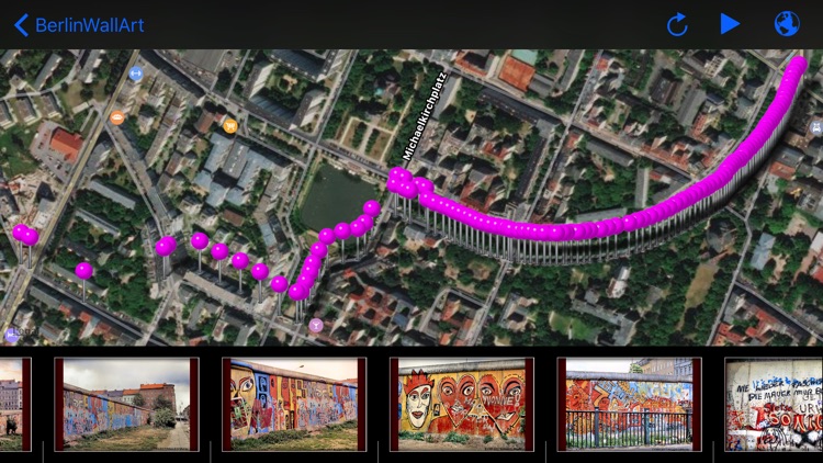
This tour route is in the heart of Kreuzberg, an active arts neighborhood of Berlin. This area covers Bethaniendamm from Köpernikerstrasse, through Mariannenplatz, Leuschnerdamm, and Waldermarstrasse culminating in the checkpoint at Heinrich-Hein-Strasse. This is where the most colorful and intricate art of the Wall is found. Approx. 1.5 km. ; 112 images
Disclaimer:
AppAdvice does not own this application and only provides images and links contained in the iTunes Search API, to help our users find the best apps to download. If you are the developer of this app and would like your information removed, please send a request to takedown@appadvice.com and your information will be removed.
AppAdvice does not own this application and only provides images and links contained in the iTunes Search API, to help our users find the best apps to download. If you are the developer of this app and would like your information removed, please send a request to takedown@appadvice.com and your information will be removed.