You are using an outdated browser. Please
upgrade your browser to improve your experience.
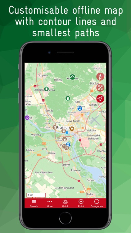
The rotatable offline map is an extract from OpenstreetMap with additional contour lines (resolution up to 20m)

Bratislava Offline Map
by Joerg Holz
What is it about?
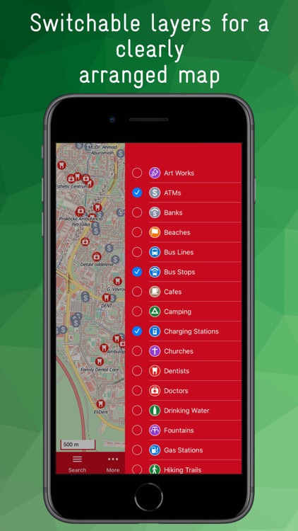
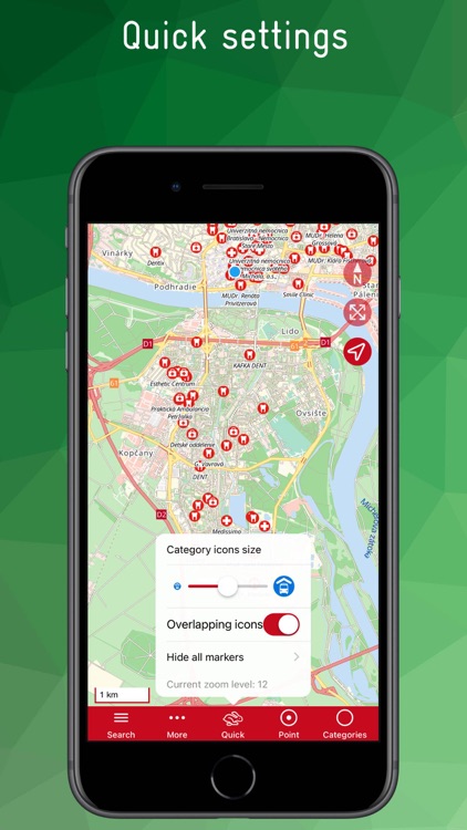
The rotatable offline map is an extract from OpenstreetMap with additional contour lines (resolution up to 20m). Even small roads and paths are precisely displayed thanks to a zoom to within a few meters. A variety of Points of Interest (POIs) such as stops, public transport lines, doctors, pharmacies, hospitals, police, post office, banks, ATMs, hiking trails, drinking water points, toilets, gas stations, supermarkets, museums, ...
App Screenshots
App Store Description
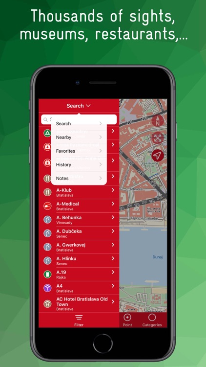
The rotatable offline map is an extract from OpenstreetMap with additional contour lines (resolution up to 20m). Even small roads and paths are precisely displayed thanks to a zoom to within a few meters. A variety of Points of Interest (POIs) such as stops, public transport lines, doctors, pharmacies, hospitals, police, post office, banks, ATMs, hiking trails, drinking water points, toilets, gas stations, supermarkets, museums, ...
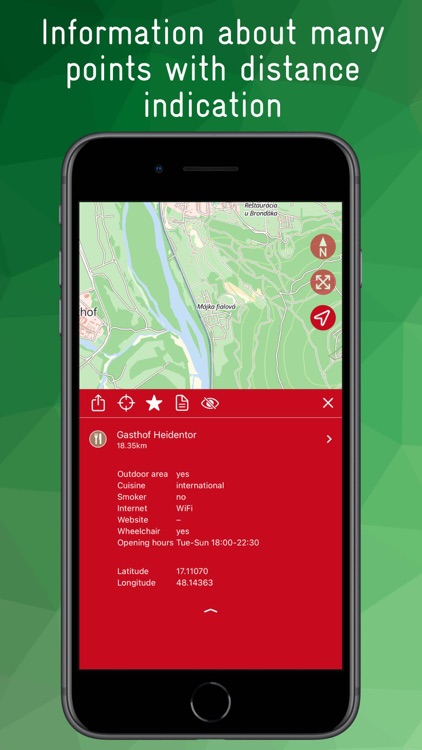
can be added as layers. For many POIs there is further information like opening hours, number of the bus line, name of the bus stop, address, handicapped access, opening hours, ...
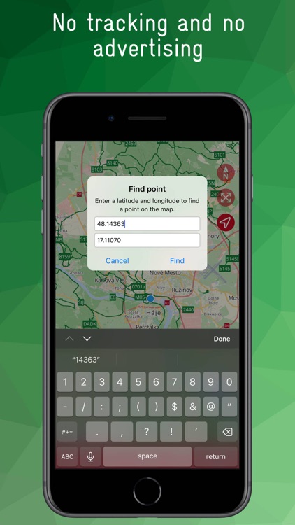
All POIs as well as a large number of streets, cities, villages and districts can be searched for individually. A fade-in overview map shows in a reduced scale in which part of the area the current map section is located. A location function shows the current position.
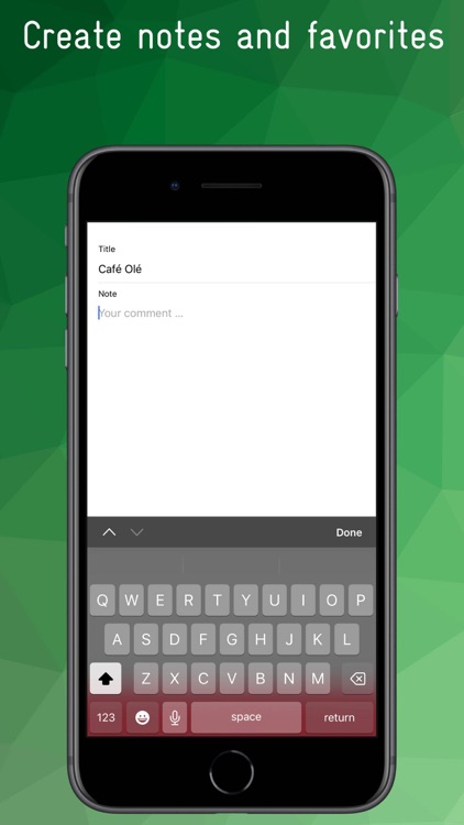
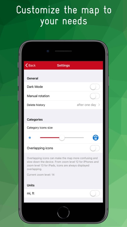
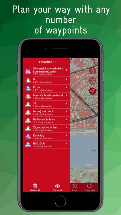
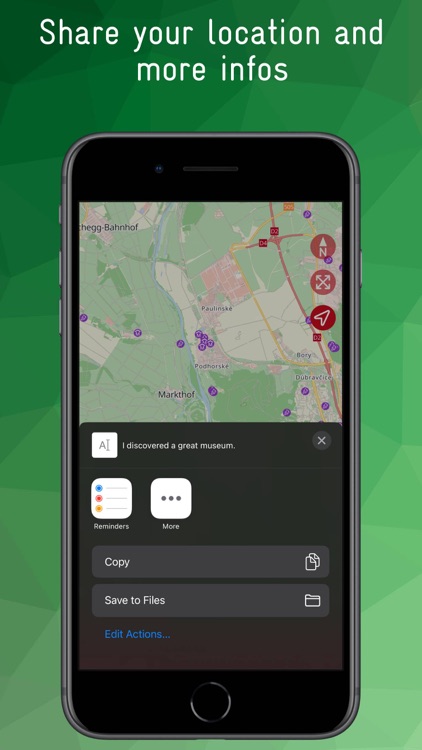
Any number of waypoints can be created, favorites and notes can be created in the app, the map display can be customized through settings, and a share function can be used to share one's own location and more detailed information about a POI with others.
The app is ad-free and there is no tracking.
Disclaimer:
AppAdvice does not own this application and only provides images and links contained in the iTunes Search API, to help our users find the best apps to download. If you are the developer of this app and would like your information removed, please send a request to takedown@appadvice.com and your information will be removed.
AppAdvice does not own this application and only provides images and links contained in the iTunes Search API, to help our users find the best apps to download. If you are the developer of this app and would like your information removed, please send a request to takedown@appadvice.com and your information will be removed.