You are using an outdated browser. Please
upgrade your browser to improve your experience.

CERT Surveyor is designed by and for community emergency first responders for collecting information to help coordinate search and rescue operations

CERT Surveyor
by Andrew Olvera
What is it about?
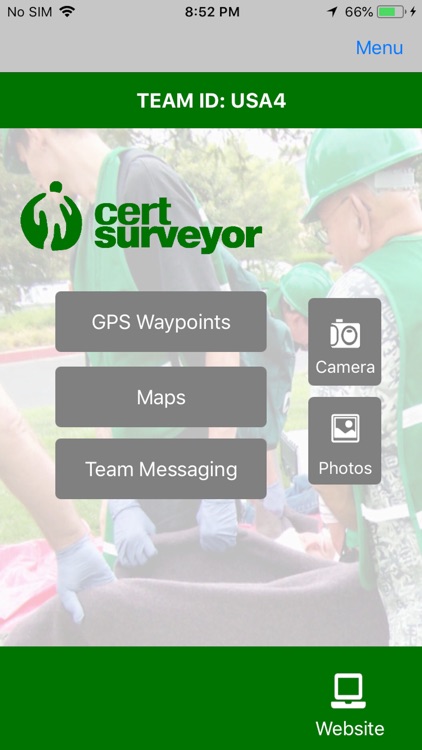
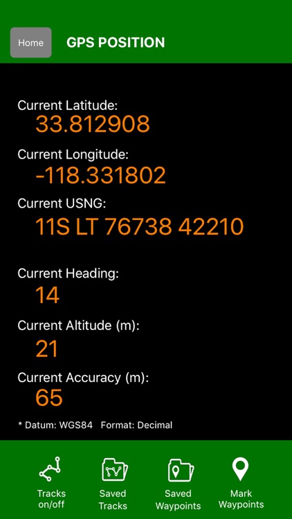
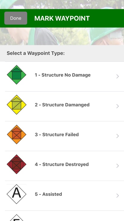
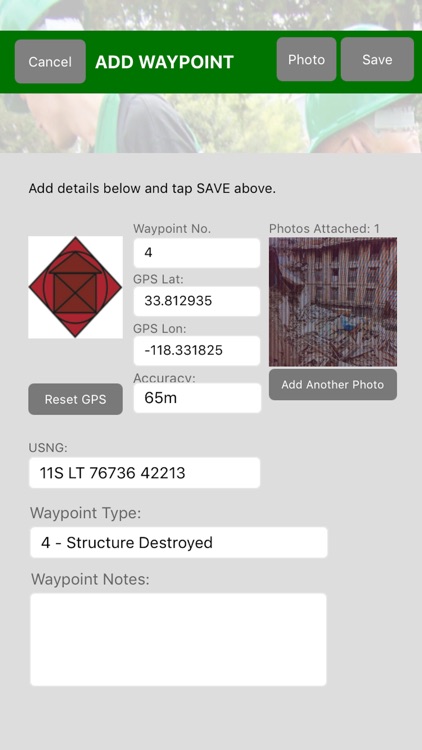
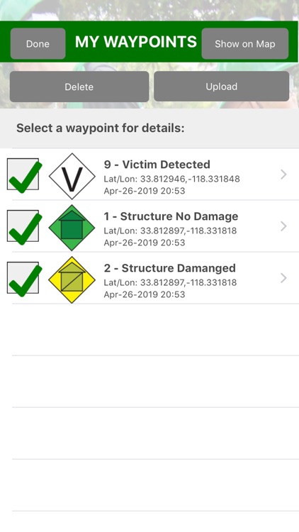
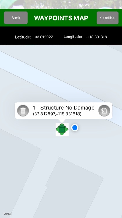
CERT Surveyor is designed by and for community emergency first responders for collecting information to help coordinate search and rescue operations. The app uses NAPSG USAR v7 FEMA CERT icons for dropping waypoints on a map; allows creating tracks at variable intervals and distance deltas; and loads pdfs maps as well as create maps with waypoint icons. All data can be uploaded to the accompanying website account and for data download as KML, GPX, and Excel file formats and for posting to your ArcGIS Online Operations Dashboard and more.
App Details
Version
3.35
Rating
(4)
Size
29Mb
Genre
Utilities Navigation
Last updated
December 9, 2020
Release date
January 18, 2018
More info
App Screenshots
App Store Description
CERT Surveyor is designed by and for community emergency first responders for collecting information to help coordinate search and rescue operations. The app uses NAPSG USAR v7 FEMA CERT icons for dropping waypoints on a map; allows creating tracks at variable intervals and distance deltas; and loads pdfs maps as well as create maps with waypoint icons. All data can be uploaded to the accompanying website account and for data download as KML, GPX, and Excel file formats and for posting to your ArcGIS Online Operations Dashboard and more.
IMPORTANT NOTE: The Wifi only iPad does not have a dedicated Assisted GPS chip. The Wifi + Cellular version has the chip, but in the event of no Wifi signals and no Data signal areas (open ocean, high desert, steel/heavy concrete buildings), the GPS feature may not work. We recommend adding a dedicated GPS attachment for these purposes.
TEAM MANAGERS/LEADERS: Please contact support@disastersurveyor.com to have your CERT Surveyor account upgraded for free to a Team Admin for managing your team members (who have signed up with the same team code) on the website at https://cert.disastersurveyor.com.
Disclaimer:
AppAdvice does not own this application and only provides images and links contained in the iTunes Search API, to help our users find the best apps to download. If you are the developer of this app and would like your information removed, please send a request to takedown@appadvice.com and your information will be removed.
AppAdvice does not own this application and only provides images and links contained in the iTunes Search API, to help our users find the best apps to download. If you are the developer of this app and would like your information removed, please send a request to takedown@appadvice.com and your information will be removed.