You are using an outdated browser. Please
upgrade your browser to improve your experience.

Interactive map of public transport in Wroclaw

City Transport Map Wroclaw
by Khrystyna Skliarova
What is it about?
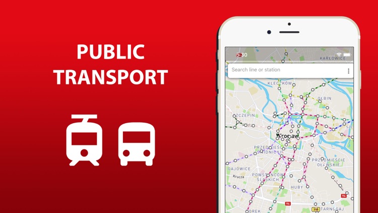
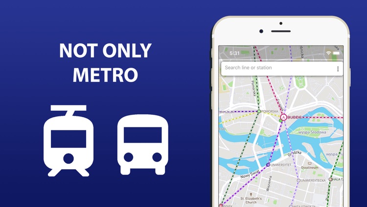
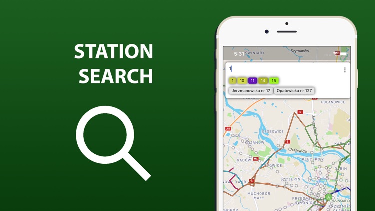
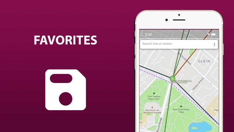
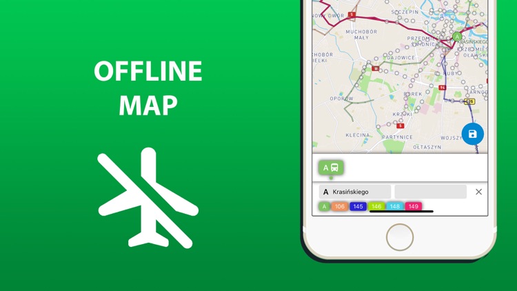
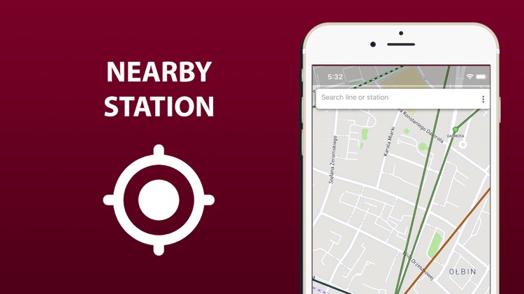
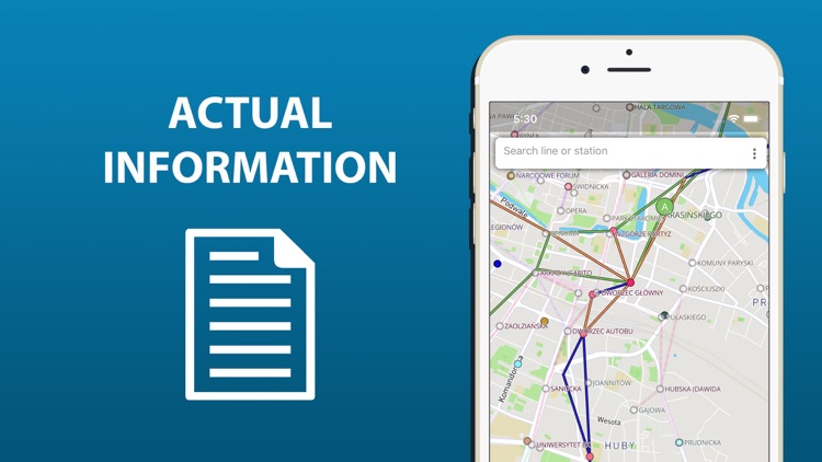
Interactive map of public transport in Wroclaw. Buses, tram, etc. Transfer stations name of lines. Everything for easy offline orientation.
App Screenshots
App Store Description
Interactive map of public transport in Wroclaw. Buses, tram, etc. Transfer stations name of lines. Everything for easy offline orientation.
Disclaimer:
AppAdvice does not own this application and only provides images and links contained in the iTunes Search API, to help our users find the best apps to download. If you are the developer of this app and would like your information removed, please send a request to takedown@appadvice.com and your information will be removed.
AppAdvice does not own this application and only provides images and links contained in the iTunes Search API, to help our users find the best apps to download. If you are the developer of this app and would like your information removed, please send a request to takedown@appadvice.com and your information will be removed.