You are using an outdated browser. Please
upgrade your browser to improve your experience.

"Best digital road and trail map of Crater Lake

Crater Lake Trail Map Offline
by John Buttery
What is it about?
"Best digital road and trail map of Crater Lake."
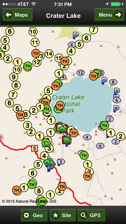
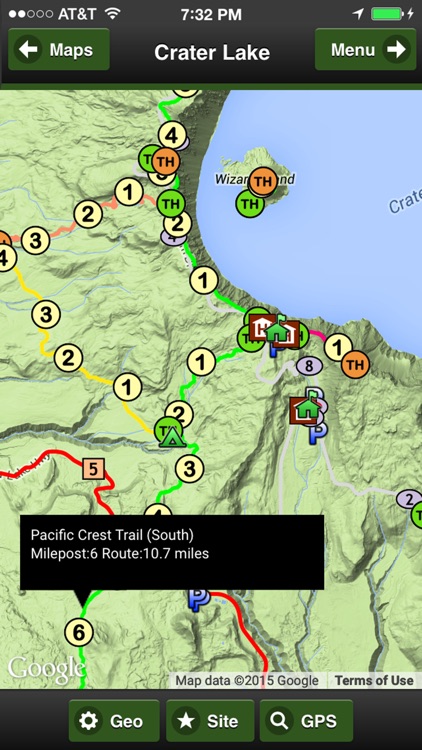
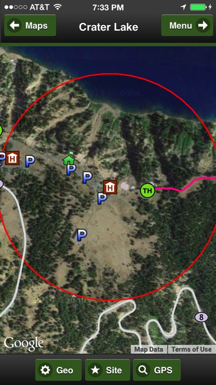
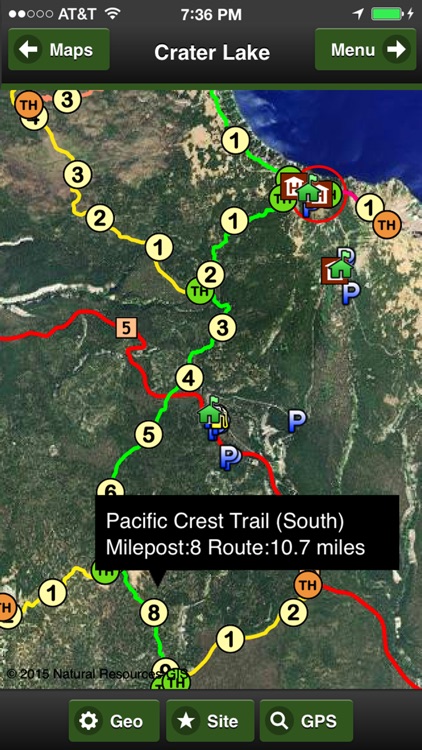
App Screenshots
App Store Description
"Best digital road and trail map of Crater Lake."
8 Base Maps:
OFFLINE Map and Imagery (no internet or phone service required), 3 premium imagery map providers, 2 sets of streets, online Terrain and Topo maps
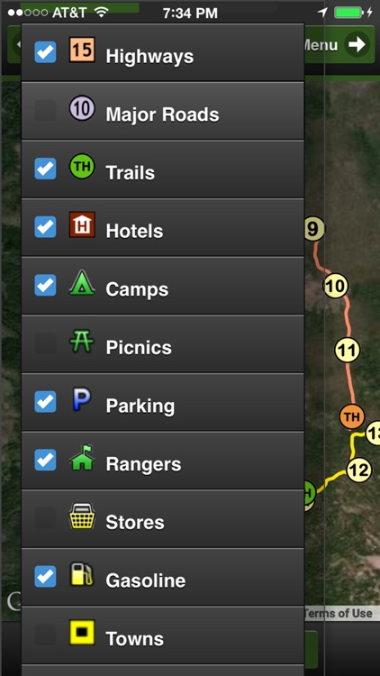
15 Geographic Overlays:
Highways, major roads, trails, hotels, camps, picnics, parking, rangers, stores, gasoline, towns, peaks, views, lakes, and park boundary.
Hiking Trails in the App:
Bald Crater Loop - 12.2 miles
Bert Creek - 1.3 miles
Boundary Spring - 2.7 miles
Cleekwood Cove - 1.0 mile
Crater Peak - 2.7 miles
East Entrance - 4.1 miles
Garfield Peak -1.6 miles
Lightning Spring - 3.7 miles
Llao Rock - .5 miles
Mt Scott Lookout - 2.1 miles
Pacific Crest Equestrian - 15.7 miles
Pacific Crest South - 10.7 miles
Pacific Crest Central - 6.0 miles
Pacific Crest North - 11.5 miles
Pumice Flat - 2.5 miles
Stuart Falls - 2.3 miles
Union Peak - 2.4 miles
Wizard Island - 1.4 miles
Social Media:
Videos, Photos, Facebook and Twitter.
Services:
GPS and weather
Languages:
English, Spanish and Portuguese
Disclaimer:
AppAdvice does not own this application and only provides images and links contained in the iTunes Search API, to help our users find the best apps to download. If you are the developer of this app and would like your information removed, please send a request to takedown@appadvice.com and your information will be removed.
AppAdvice does not own this application and only provides images and links contained in the iTunes Search API, to help our users find the best apps to download. If you are the developer of this app and would like your information removed, please send a request to takedown@appadvice.com and your information will be removed.