You are using an outdated browser. Please
upgrade your browser to improve your experience.

DatuFly™ is a professional imagery app for surveying, 3D modelling and construction industries, providing simple drone flight planning and automated, high resolution photo-shooting for mapping, 3D objects modelling, measurement and construction site management

DatuFly Professional
by Datumate

What is it about?
DatuFly™ is a professional imagery app for surveying, 3D modelling and construction industries, providing simple drone flight planning and automated, high resolution photo-shooting for mapping, 3D objects modelling, measurement and construction site management.
App Details
Version
1.8.9
Rating
(1)
Size
142Mb
Genre
Utilities
Last updated
February 17, 2021
Release date
May 25, 2018
More info
App Screenshots
App Store Description
DatuFly™ is a professional imagery app for surveying, 3D modelling and construction industries, providing simple drone flight planning and automated, high resolution photo-shooting for mapping, 3D objects modelling, measurement and construction site management.
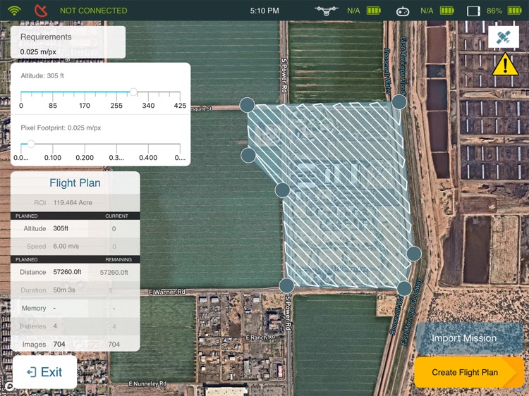
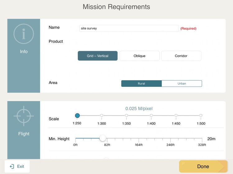
DatuFly™ features an intuitive user interface for creating missions that automatically guide the drone to capture optimized aerial images, in order to generate 2D and 3D maps, using Surveying and Construction industry best practices. DatuFly™ app minimizes field surveying time and cuts down surveying expenses.
Features and benefits:
- Simple and intuitive user interface
- Designed specifically for tablets
- Fully automated operation, from job type optimization to automated photo shooting
- Vertical and Oblique photo shooting and mission planning
- Multiple battery's support per project (exchange battery & resume mission)
- Surveyor and Construction oriented workflow
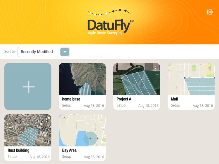
- Multi projects support
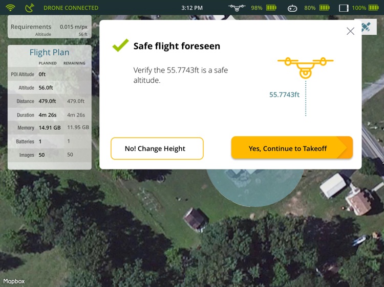
- Pre-flight checks and calibrations
- Harmless field surveying, keeping the surveyors and operators safe
- Drone safety wizards
- Analytics
- Mission planning projections
- Real time mission data and imagery stream
- Emergency landing and RTH
- Offline flight capabilities
- Chinese language support
- Aligned with DatuSurvey™ imagery best practices
DatuFly™ is compatible with the DJI Phantom 4 and 4 Pro\Advanced, Phantom 3 Professional, Inspire 1 Pro, Inspire 2 and Matrice 600
Disclaimer:
AppAdvice does not own this application and only provides images and links contained in the iTunes Search API, to help our users find the best apps to download. If you are the developer of this app and would like your information removed, please send a request to takedown@appadvice.com and your information will be removed.
AppAdvice does not own this application and only provides images and links contained in the iTunes Search API, to help our users find the best apps to download. If you are the developer of this app and would like your information removed, please send a request to takedown@appadvice.com and your information will be removed.