You are using an outdated browser. Please
upgrade your browser to improve your experience.
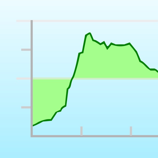
Elevation Chart is a tool used to get the elevation of any place on the surface of the Earth

Elevation Chart - Draw Profile View by Touchs
by Nianliang Mo
Removed from the App Store
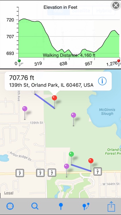
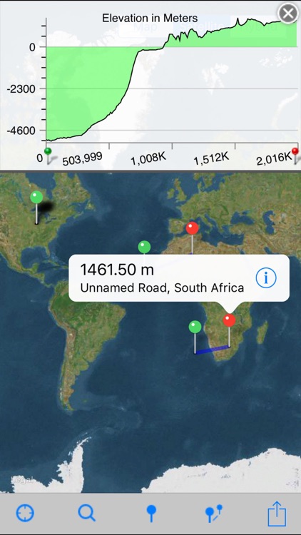
Elevation Charts is just as amazing as Altimeter+. As the name implies, this Google Maps-based app allows you to get the elevation of any location! This functionality should be included with the built-in maps app, but it isn’t. You can even chart the elevation between two points in a cool chart mode. This view will also show you the walking distance in feet or meters. The charts are very accurate and provide a fun way to see how high you really are.
What is it about?
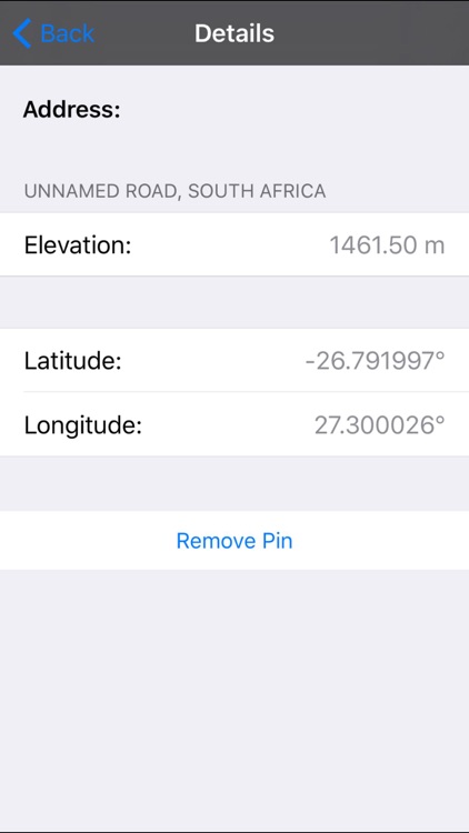
Elevation Chart is a tool used to get the elevation of any place on the surface of the Earth. You’re able to place a pin anywhere on the map to view it’s elevation in feet or meters along with its longitude, latitude, and address. You can also place two pins on the map to see the elevation profile and walking distance between the two points.
App Screenshots
App Store Description
Elevation Chart is a tool used to get the elevation of any place on the surface of the Earth. You’re able to place a pin anywhere on the map to view it’s elevation in feet or meters along with its longitude, latitude, and address. You can also place two pins on the map to see the elevation profile and walking distance between the two points.
• #1 in Mexico and other 5 countries, #2 in United States, and top 10 in 12 countries (iPad Navigation)
===== Features =====
• Show the elevations between two points in profile view, more visualization!
• One tap to show the elevation of your current location
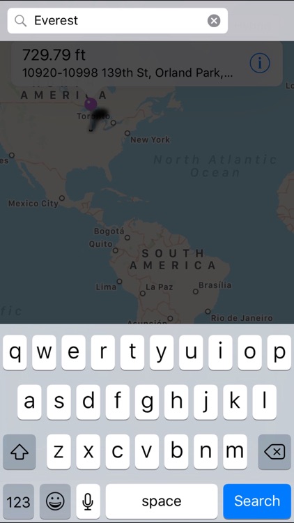
• Get elevation of any place on earth by: 1) touching the location on the map; 2) search by address/name
• Show Walking Distance between two points if available
• Show Ellipsoidal Distance (according to Vincenty's formula) as label of x-axis
• Show elevation in feet or meters
• Work on iPad, iPhone, and iPod Touch
===== Known Issues =====
- In some situations, the Walking Distance which get from maps.googleapis.com is obviously wrong, compare to the Ellipsoidal Distance.
- Limitations of elevation query: 2,500 requests per day; 50 requests per second.
===== Requirements =====
Internet connection.
===== Video Tutorial =====
Pick one of the following:
• https://appbead.com/app-elevation-chart.html
• http://youtu.be/o1T9-prX9Dg
Disclaimer:
AppAdvice does not own this application and only provides images and links contained in the iTunes Search API, to help our users find the best apps to download. If you are the developer of this app and would like your information removed, please send a request to takedown@appadvice.com and your information will be removed.
AppAdvice does not own this application and only provides images and links contained in the iTunes Search API, to help our users find the best apps to download. If you are the developer of this app and would like your information removed, please send a request to takedown@appadvice.com and your information will be removed.