You are using an outdated browser. Please
upgrade your browser to improve your experience.

If you are looking for something besides standard road maps, FetchMap is the App for you

FetchMap
by Timothy Smith

What is it about?
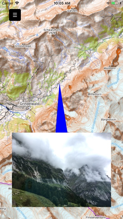
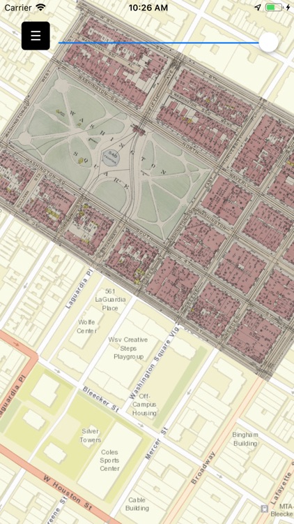
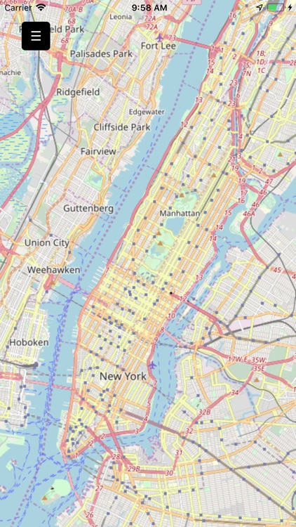
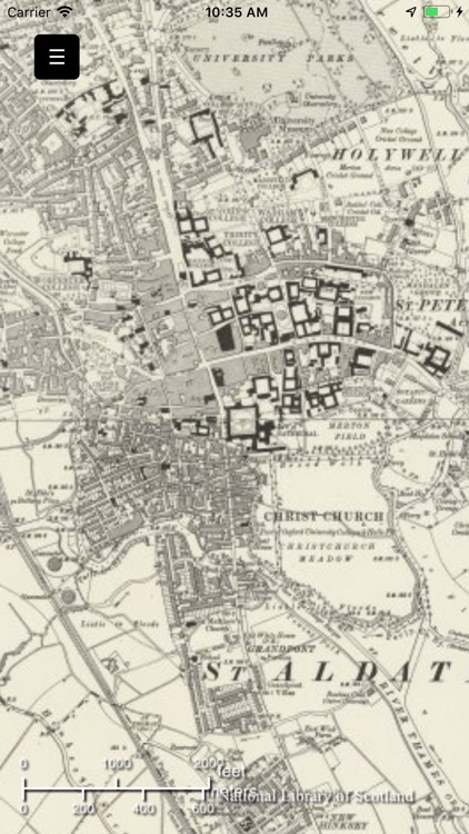
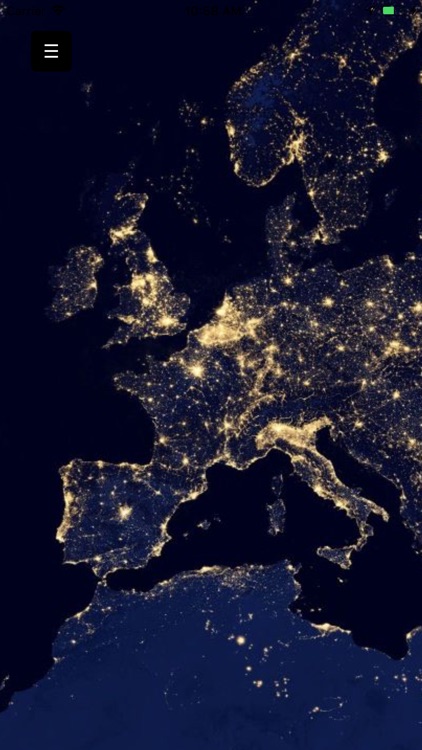
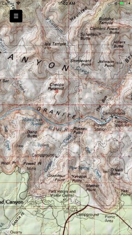
If you are looking for something besides standard road maps, FetchMap is the App for you. With it you can access maps from a lot of different source, such as OpenStreet Maps and OpenTopo. You can get maps from the US Geological Survey (great topo-sheet) and the UK Ordnance Survey. You can also access satellite images from NASA, included daily snapshots of the Earth. Many groups have posted railroad layers, ski trails, hiking & biking paths as well as scanned historic maps.
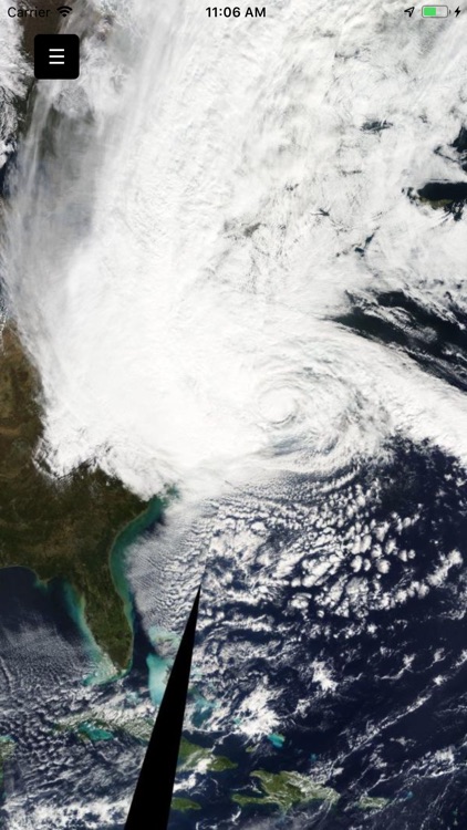
App Screenshots

App Store Description
If you are looking for something besides standard road maps, FetchMap is the App for you. With it you can access maps from a lot of different source, such as OpenStreet Maps and OpenTopo. You can get maps from the US Geological Survey (great topo-sheet) and the UK Ordnance Survey. You can also access satellite images from NASA, included daily snapshots of the Earth. Many groups have posted railroad layers, ski trails, hiking & biking paths as well as scanned historic maps.
You can overlay maps and fade between them, which is especially useful when looking at historic maps. You can plot your GPS location, which is always useful when traveling.
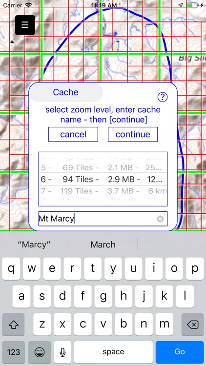
Finally you can cache maps so you can use them when you are offline. So when you are hiking in the mountains you can plot your location on a beautiful topographic map, and maybe overlay the map of 1900 to see how things have changed.
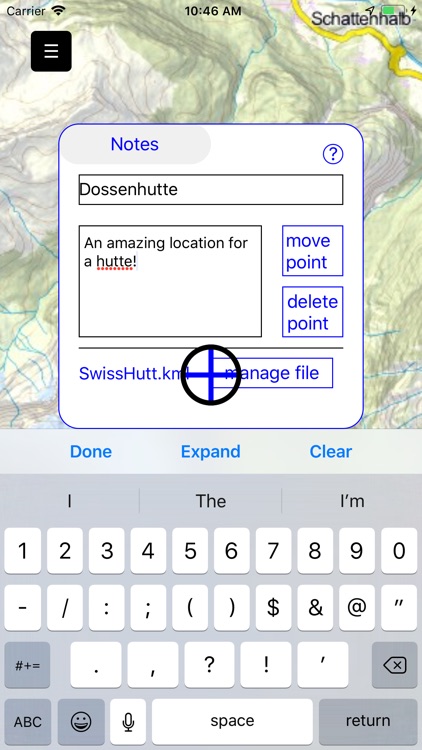
New features include new maps and a list of maps which can updated over the internet. New location finder, measure distance, orientation and compass. The ability to overlay GeoTiff, KML, GPX and geo referenced jpeg files. And finally the ability to take note about location and share these note.
Disclaimer:
AppAdvice does not own this application and only provides images and links contained in the iTunes Search API, to help our users find the best apps to download. If you are the developer of this app and would like your information removed, please send a request to takedown@appadvice.com and your information will be removed.
AppAdvice does not own this application and only provides images and links contained in the iTunes Search API, to help our users find the best apps to download. If you are the developer of this app and would like your information removed, please send a request to takedown@appadvice.com and your information will be removed.