You are using an outdated browser. Please
upgrade your browser to improve your experience.

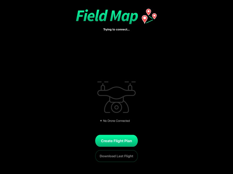
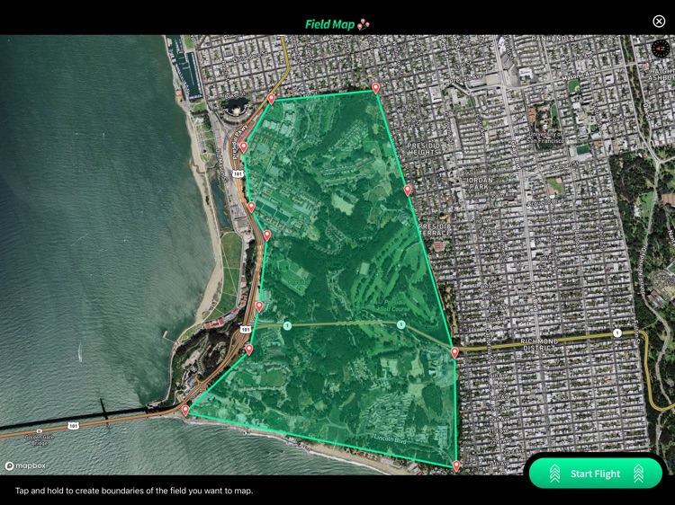
Use your waypoint capable drone to map your field

FieldMap
by RIIS LLC
What is it about?
Use your waypoint capable drone to map your field. Here's how it works:
App Store Description
Use your waypoint capable drone to map your field. Here's how it works:
1. Connect a drone
2. Draw an area on the map you would like the drone to map.
3. Wait for the drone to fly and allow the backend server to stitch the images.
4. View your map.
Disclaimer:
AppAdvice does not own this application and only provides images and links contained in the iTunes Search API, to help our users find the best apps to download. If you are the developer of this app and would like your information removed, please send a request to takedown@appadvice.com and your information will be removed.
AppAdvice does not own this application and only provides images and links contained in the iTunes Search API, to help our users find the best apps to download. If you are the developer of this app and would like your information removed, please send a request to takedown@appadvice.com and your information will be removed.