You are using an outdated browser. Please
upgrade your browser to improve your experience.

Fires near Me

Fires Near Me Australia
by NSW Rural Fire Service
What is it about?
Fires near Me
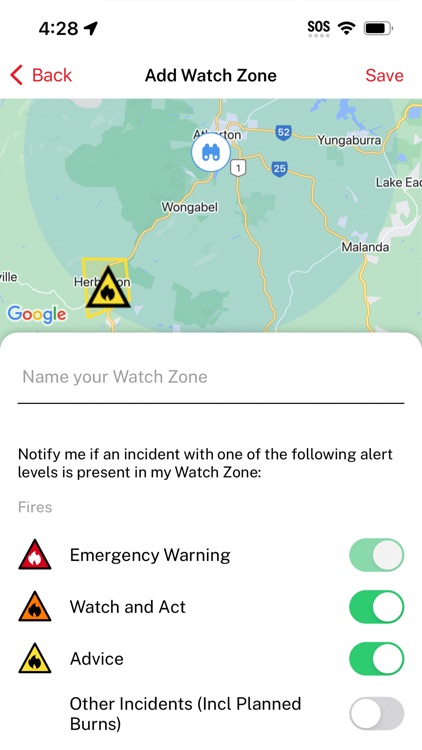
App Screenshots

App Store Description
Fires near Me
This is the official iPhone application presenting information on bushfires for the participating fire agencies in the Australian states and territories and in New Zealand, developed by the NSW Rural Fire Service.
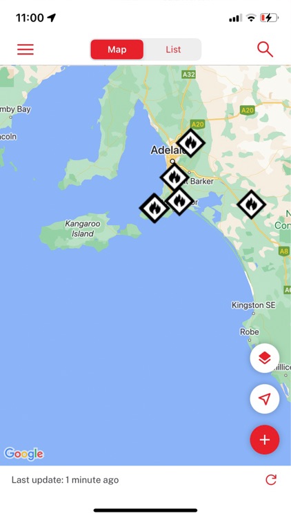
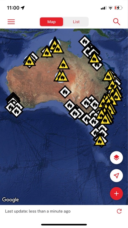
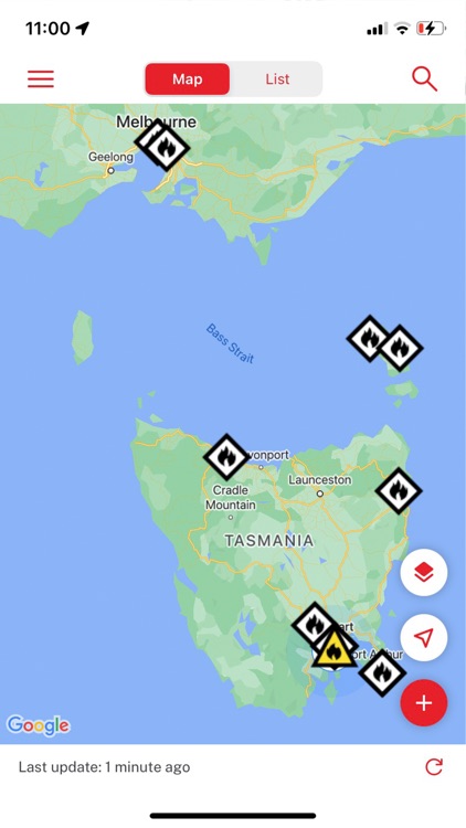
This application provides information on current incidents across Australia and New Zealand attended by those participating agencies. It also provides information on total fire bans.
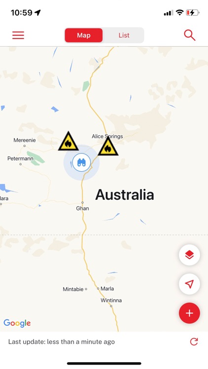
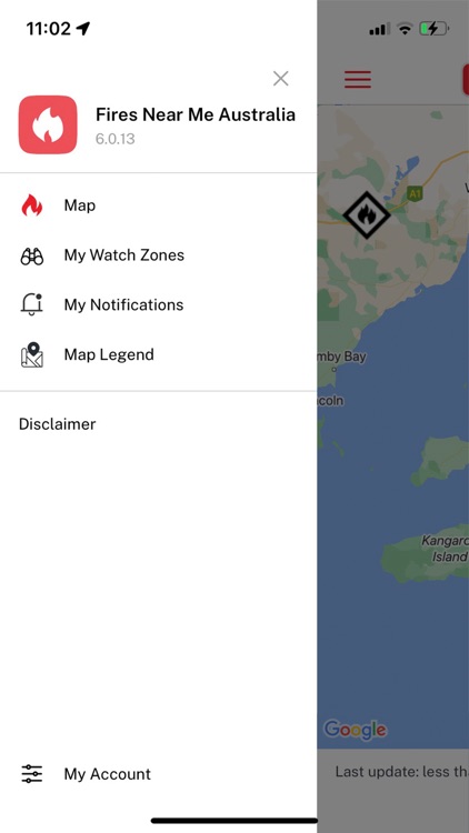
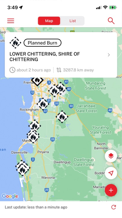
The application gives users the ability to source information on incidents near them, using the 'Fires near Me' function.
This app is provided as-is, and without support. More information may be found http://www.rfs.nsw.gov.au or the web site for the fire agency in your local state or territory or in New Zealand.
Your feedback, however, is gratefully sought, and will help us develop an even more useful way of giving you information on fires near you. Please send any feedback here: mobilefeedback@rfs.nsw.gov.au .
For further information, please see http://www.rfs.nsw.gov.au .
Features
Initially centres the map on your Current Position.
Allows you to choose another location, e.g. the destination for your weekend holiday, and centres on that location.
Lets you know if there is a fire within 50 km of your location.
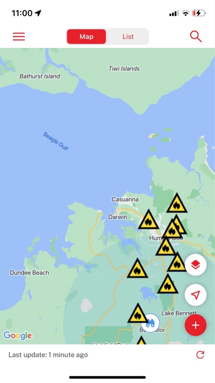
Displays any fires within a 10 km radius of your location.
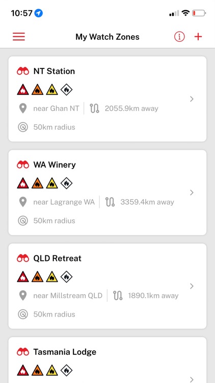
Allows you to see a list of the bush fires from participating agencies, sorted by their proximity to your location--the closest being sorted to the top of the list.
Tap on the fire and you will see some information about the fire. Tap on the arrow (">") and you will see the list of bush fires.
Top on the arrow (">") of a fire within the list of bush fires, you will see a screen of more details on that particular fire.
Tap the map button from the Details page and the map page appears centred on that fire.
If a Total Fire Ban is active for today or tomorrow for your location – and that information has been provided by the fire agency in your local state or territory or in New Zealand – the Total Fire Ban symbol appears on the screen to warn you of this.
Fires are listed by the name of the nearest town or village, if available. This makes it easier for you to recognise where it is, so that you can avoid it!
PREPARE. ACT. SURVIVE. Have a Bush Fire Survival Plan and keep up to date on fires in your area.
© State of New South Wales through the NSW Rural Fire Service 2010
Disclaimer:
AppAdvice does not own this application and only provides images and links contained in the iTunes Search API, to help our users find the best apps to download. If you are the developer of this app and would like your information removed, please send a request to takedown@appadvice.com and your information will be removed.
AppAdvice does not own this application and only provides images and links contained in the iTunes Search API, to help our users find the best apps to download. If you are the developer of this app and would like your information removed, please send a request to takedown@appadvice.com and your information will be removed.