You are using an outdated browser. Please
upgrade your browser to improve your experience.

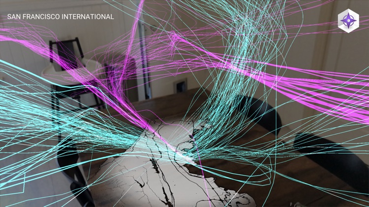
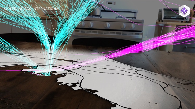
Flight Paths uses Augmented Reality to visualize the airspace above America's busiest airports

Flight Paths
by william LINDMEIER
What is it about?
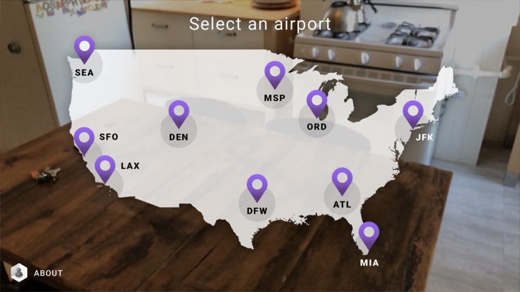
Flight Paths uses Augmented Reality to visualize the airspace above America's busiest airports. Select an airport from the map, point your camera at a table or floor, and tap the screen to get started. A beautiful animation of flights taking off and landing will fill the sky above the airport. Flight Paths lets you see these 3D routes in a whole new way, right from your living room.
App Screenshots

App Store Description
Flight Paths uses Augmented Reality to visualize the airspace above America's busiest airports. Select an airport from the map, point your camera at a table or floor, and tap the screen to get started. A beautiful animation of flights taking off and landing will fill the sky above the airport. Flight Paths lets you see these 3D routes in a whole new way, right from your living room.
Disclaimer:
AppAdvice does not own this application and only provides images and links contained in the iTunes Search API, to help our users find the best apps to download. If you are the developer of this app and would like your information removed, please send a request to takedown@appadvice.com and your information will be removed.
AppAdvice does not own this application and only provides images and links contained in the iTunes Search API, to help our users find the best apps to download. If you are the developer of this app and would like your information removed, please send a request to takedown@appadvice.com and your information will be removed.