You are using an outdated browser. Please
upgrade your browser to improve your experience.
“Freycinet National Park consists of all Granite Mountains but surrounded by blue bays and white sand beaches

Freycinet NP GPS and outdoor map with guide
by Flytomap
What is it about?
“Freycinet National Park consists of all Granite Mountains but surrounded by blue bays and white sand beaches. The spectacular peaks welcome you as you enter the park.”
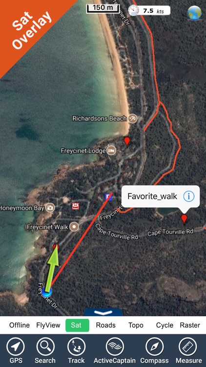
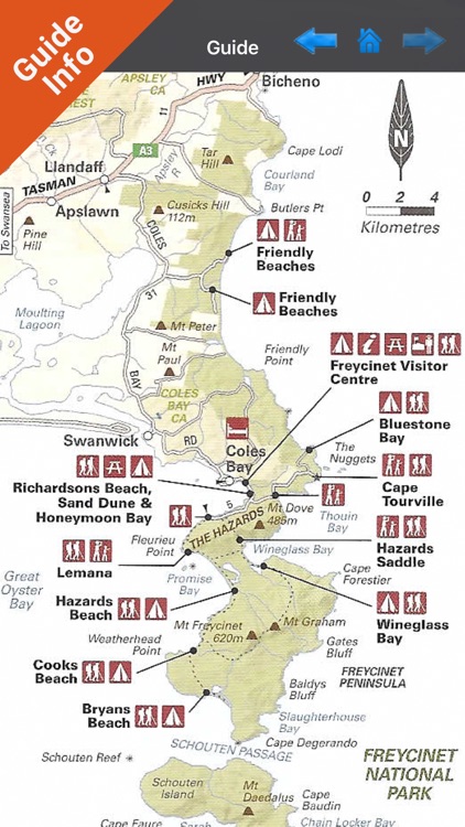
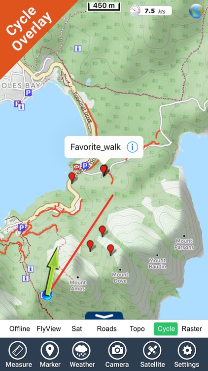
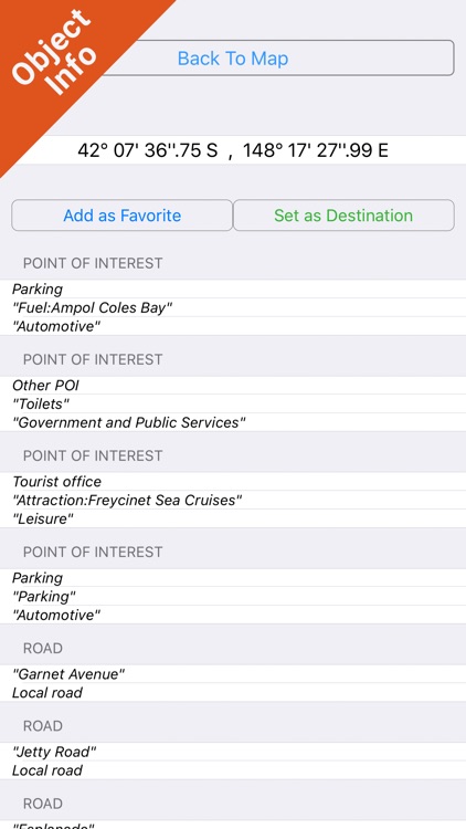
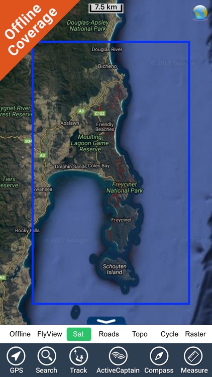
App Screenshots
App Store Description
“Freycinet National Park consists of all Granite Mountains but surrounded by blue bays and white sand beaches. The spectacular peaks welcome you as you enter the park.”
“Freycinet National Park offers a wide variety of activities. Activities include Scenic drives, Short strolls, Bushwalks, visiting natural features, Seeing wildlife, Bird watching, Mountain biking, Boating, Kayaking, Snorkeling, Scuba diving, Swimming, Fishing, Climbing, Camping and Photography.”
Park map applications are extremely advanced contains embedded electronic charts with all information collected from the National Park Service and local sources. The maps contain all multiple trails (Hiking, biking, Stairway trails, Bicycle trails, Equestrian trails etc.,) and Point of interests (POI) like Campgrounds, Eating places, Ranger Stations, Picnic areas, Boat/Canoe launching, Parking areas etc., which are provided depending on the relevant park areas they exists.
This App does not require Internet connection, the Map works in OFFLINE mode without any signal coverage.
Use to Explore:
•GPS position on the map
•Record & Email Tracks
•Insert Unlimited Markers on the map
•Search your Favorite using Latitudes, Longitudes
•Geo-Tagged photo management
•Set On/Off Elevation Contours
A Guide is also provided for user quick reference!
“Every effort is made to be as accurate as possible when presenting information for every destination.”
“Have a Great Journey"
"Continued use of GPS running in the background can dramatically decrease battery life."
Disclaimer:
AppAdvice does not own this application and only provides images and links contained in the iTunes Search API, to help our users find the best apps to download. If you are the developer of this app and would like your information removed, please send a request to takedown@appadvice.com and your information will be removed.
AppAdvice does not own this application and only provides images and links contained in the iTunes Search API, to help our users find the best apps to download. If you are the developer of this app and would like your information removed, please send a request to takedown@appadvice.com and your information will be removed.