You are using an outdated browser. Please
upgrade your browser to improve your experience.

Fugawi Topo

Fugawi Topo
by Johnson Outdoors Canada, Inc.
What is it about?
Fugawi Topo
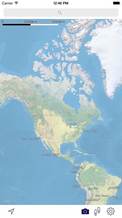
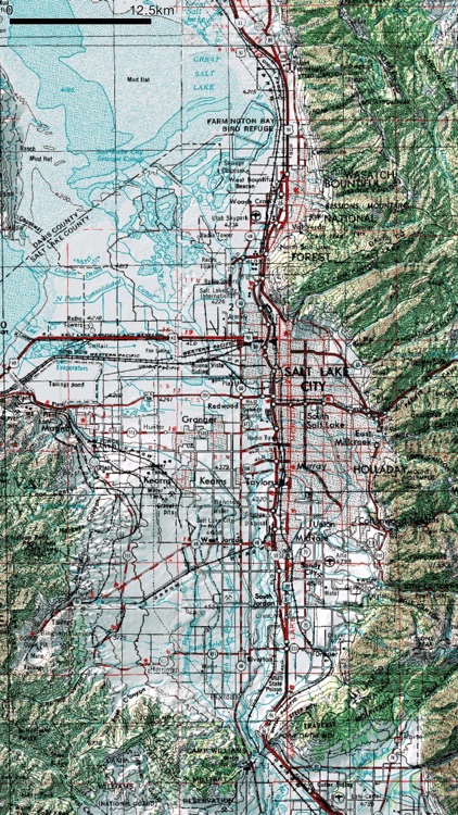
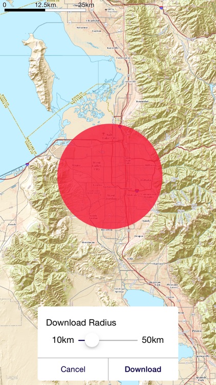
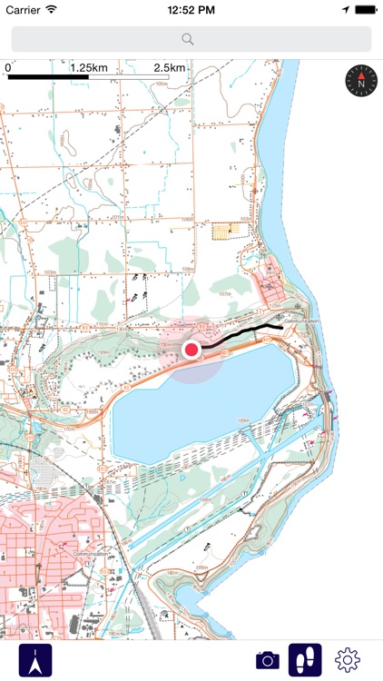
App Screenshots
App Store Description
Fugawi Topo
Fugawi Topo is a topo map app for iPhone and iPad which includes coverage of all of the USA and Canada. It is great for anyone going off-road and into the back country. Carry the most up-to-date USA and Canada Topo Maps with you on your day-hikes, outdoor adventure or work.
Features:
=> USA and Canada Topo Maps Included...
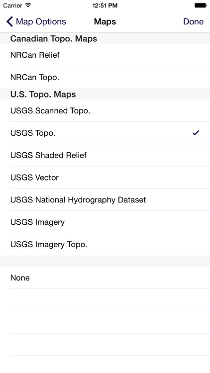
The easiest to use topo map app includes all of USA and Canada. Seamless collection of many US and Canadian topo map sources, including:
Canadian Topo Maps (NRCan topo maps CANMATRIX):
-- NRCan Relief (Canadian government relief maps)
-- NRCan Topo. (Canadian government 1:50,000 scale topographic maps)
USA Topo Maps (U.S. Geological Society):
-- USGS Scanned Topo (1:24,000 scale topographic maps).
-- USGS Topo.
-- USGS Shaded Relief
-- USGS Vector
-- USGS National Hydrography Dataset
-- USGS Imagery
-- USGS Imagery Topo.
=> Photo Sharing:
Take photos and see them plotted on the map. Share photos with Facebook, Twitter, Tumblr, iMessage, email, and more.
=> Background Map Options:
Switch between the official Canadian Government relief maps, topo maps and Apple Maps satellite photo views; Turn street maps on and off. Download USGS and Canadian Government relief maps and topo maps directly to your iOS device for offline use when out of cell or WiFi coverage.
=> Record Tracks:
Record your day's hike or paddle as a track file and see how far you have traveled. Leave the GPS on as a background task to record your track while you use other Apps or lock the screen. WARNING: Continued use of GPS running in the background can dramatically decrease battery life.
=> Map Pans as You Move:
Track your location with a map that moves as you move. Set the map to keep north up or to rotate with your direction of travel.
=> Download Maps for Offline Use:
When you have cellular or Wi-Fi access, download the topo maps for your selected region. You can be certain all the data you need is on your iOS device when you head out on the trail without internet access.
=> Find Place Names, Restaurants, Stores, Gas stations and Other Services:
With the built-in Apple Maps search (while in cell of WiFi coverage), quickly locate the services you need within easy access of the trail.
Disclaimer:
AppAdvice does not own this application and only provides images and links contained in the iTunes Search API, to help our users find the best apps to download. If you are the developer of this app and would like your information removed, please send a request to takedown@appadvice.com and your information will be removed.
AppAdvice does not own this application and only provides images and links contained in the iTunes Search API, to help our users find the best apps to download. If you are the developer of this app and would like your information removed, please send a request to takedown@appadvice.com and your information will be removed.