You are using an outdated browser. Please
upgrade your browser to improve your experience.

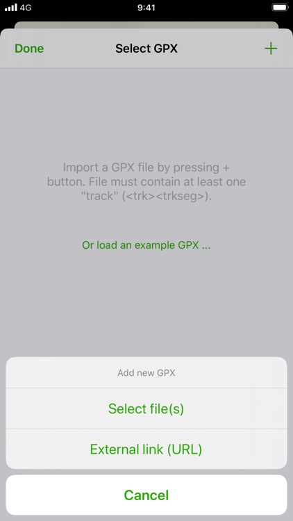
Import your routes in GPX format (tracks or routes) into the application

GPX viewer
by Jonathan Gander
What is it about?
Import your routes in GPX format (tracks or routes) into the application.
App Screenshots

App Store Description
Import your routes in GPX format (tracks or routes) into the application.
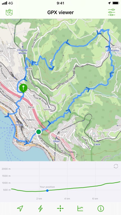
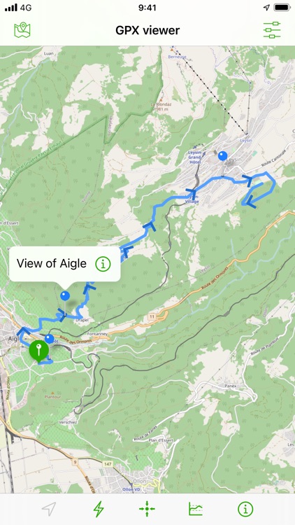
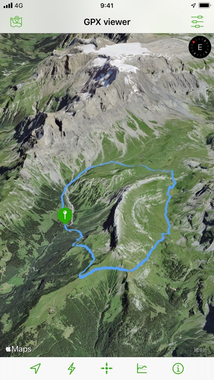
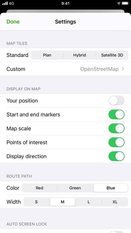
Display them on different preset maps (plan, satellite, OpenStreetMap, OpenTopoMap, Swisstopo, IGN) or on your own custom maps.
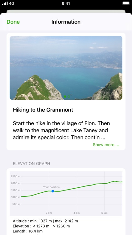
Display an elevation graph to evaluate their difficulty. And check out all of their information.
Follow your position along the route during your ride. You can also display points of interest from GPX.
All what you need to go hiking and follow your route. All for free and without ads. The only in-app purchases are tips for few other features, take a look.
Features details:
- Import of GPX files via file or web link
- Management of imported GPX (library)
- Display GPX track on the map (track and route)
- Several base maps: map, hybrid, satellite 3D, OpenStreetMap, OpenTopoMap, Swisstopo
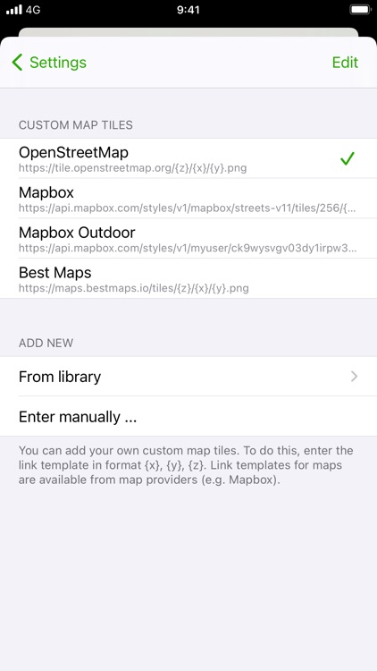
- Possibility to set your own custom maps from a library or manually
- Possibility to download maps for offline use
- Displayed on the map: current position, start and end of the route, points of interest along the route, scale, route direction
- Choice of color and size of the route
- Locking of screen standby to better follow the route
- Map cache system
- Display of GPX details: name, description, longitudinal profile, elevation differences, distance, image gallery, link, points of interest
- Display details of a point of interest: name, description, image gallery, links
- Access to the route via Maps, Google Maps or Waze
- Sharing a GPX
- GPX editor
- Speedometer
Note: If the application cannot open a GPX file, contact me by sending me the file.
Disclaimer:
AppAdvice does not own this application and only provides images and links contained in the iTunes Search API, to help our users find the best apps to download. If you are the developer of this app and would like your information removed, please send a request to takedown@appadvice.com and your information will be removed.
AppAdvice does not own this application and only provides images and links contained in the iTunes Search API, to help our users find the best apps to download. If you are the developer of this app and would like your information removed, please send a request to takedown@appadvice.com and your information will be removed.