You are using an outdated browser. Please
upgrade your browser to improve your experience.
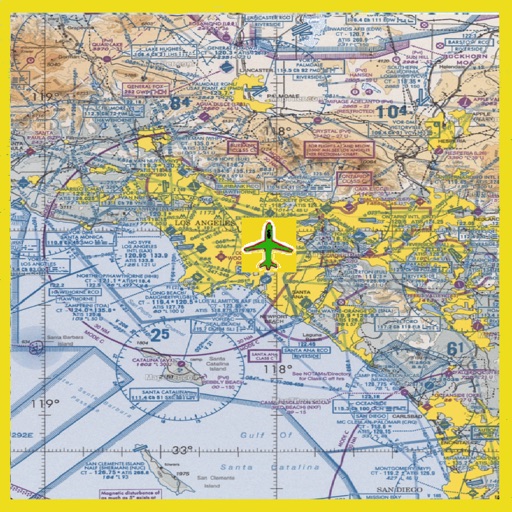
Grand Canyon VFR Sectional Charts

Grand Canyon VFR Aeronautical Chart
by SendFreeFax.net
What is it about?
Grand Canyon VFR Sectional Charts. Charts scale 1:250,000. All charts are moving maps.
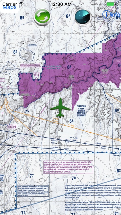
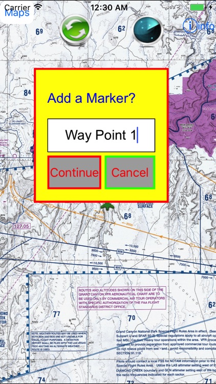
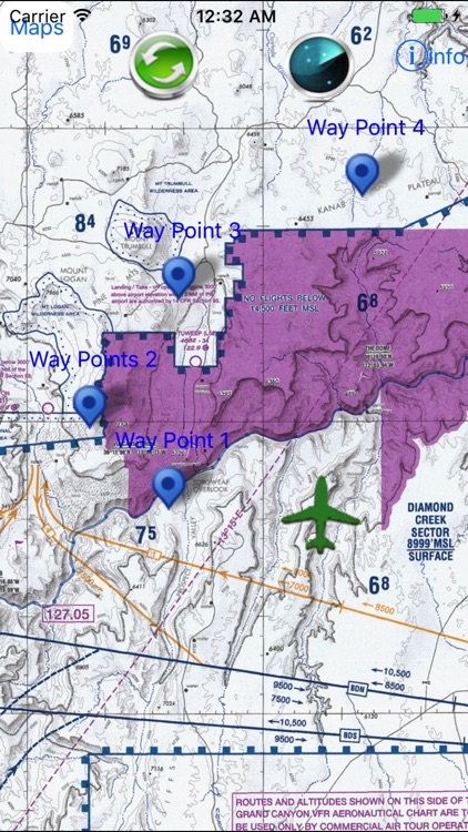
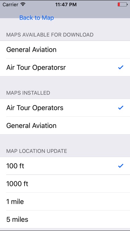
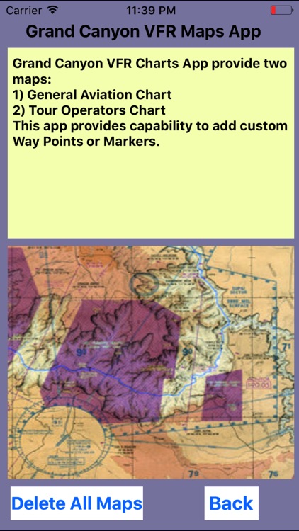
App Screenshots
App Store Description
Grand Canyon VFR Sectional Charts. Charts scale 1:250,000. All charts are moving maps.
Grand Canyon VFR Aeronautical Chart covers the Grand Canyon National Park area in this popular flight area. Maps contains navigation information for the general aviation VFR pilots, and commercial VFR air tour operations navigation information map.
Special features on both sides of maps include:
1) Special Flight Rules Area (SFAR) for all aircrafts flying below 14,500 feet MSL
2) List 5 Flight Free Zones: where flying below 14,500 feet MSL is prohibited.
3) Shows corridors between Flight Free Zones where operations below 14,500 feet MSL are permitted.
4) List of special air-to-air communication frequencies and altimeter procedures.
5) Numerous VFR checkpoints for easy location id.
Disclaimer:
AppAdvice does not own this application and only provides images and links contained in the iTunes Search API, to help our users find the best apps to download. If you are the developer of this app and would like your information removed, please send a request to takedown@appadvice.com and your information will be removed.
AppAdvice does not own this application and only provides images and links contained in the iTunes Search API, to help our users find the best apps to download. If you are the developer of this app and would like your information removed, please send a request to takedown@appadvice.com and your information will be removed.