You are using an outdated browser. Please
upgrade your browser to improve your experience.

Discover the routes using interactive maps from OpenStreetMap

Hike Buxton
by Doug Colton


What is it about?
Discover the routes using interactive maps from OpenStreetMap.
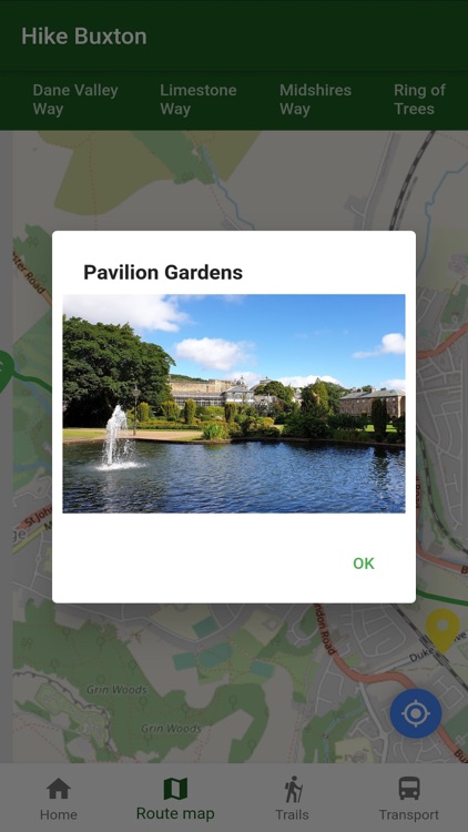
App Screenshots

App Store Description
Discover the routes using interactive maps from OpenStreetMap.
100 miles of trails through Buxton, within a 10 mile radius. Peak District Boundary Walk, White Peak Loop (to the Monsal Trail, High Peak Trail and Tissington Trail), Dane Valley Way, Limestone Way and Midshires Way.
Also find out about the sights along the trails and about public transport connections.
Base map and data from OpenStreetMap and OpenStreetMap Foundation © OpenStreetMap contributors.
All images are subject to copyright © 2021 Doug Colton.
Disclaimer:
AppAdvice does not own this application and only provides images and links contained in the iTunes Search API, to help our users find the best apps to download. If you are the developer of this app and would like your information removed, please send a request to takedown@appadvice.com and your information will be removed.
AppAdvice does not own this application and only provides images and links contained in the iTunes Search API, to help our users find the best apps to download. If you are the developer of this app and would like your information removed, please send a request to takedown@appadvice.com and your information will be removed.