You are using an outdated browser. Please
upgrade your browser to improve your experience.

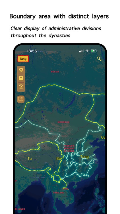
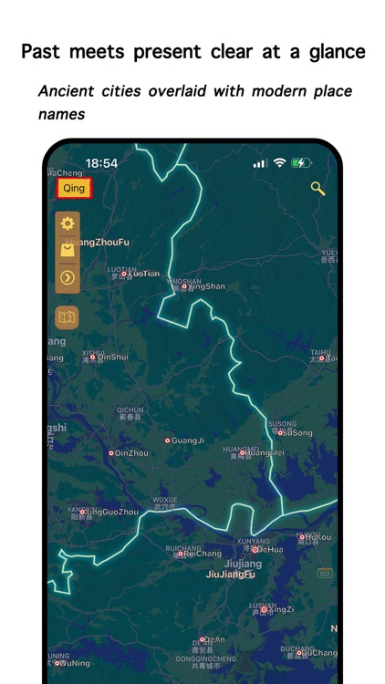
The Chinese Historical Atlas contains maps of all orthodox dynasties in ancient Chinese history, spanning thousands of years and covering thousands of kilometers

HistoAtlas: East Asia & Beyond
by 跃伟 侯

What is it about?
The Chinese Historical Atlas contains maps of all orthodox dynasties in ancient Chinese history, spanning thousands of years and covering thousands of kilometers. It covers the administrative divisions of stable periods throughout the dynasties, including counties, prefectures, prefectures, and provinces during that period. It is an indispensable reference and auxiliary data for reading Chinese history. Famous historical sites can be found here.
App Screenshots

App Store Description
The Chinese Historical Atlas contains maps of all orthodox dynasties in ancient Chinese history, spanning thousands of years and covering thousands of kilometers. It covers the administrative divisions of stable periods throughout the dynasties, including counties, prefectures, prefectures, and provinces during that period. It is an indispensable reference and auxiliary data for reading Chinese history. Famous historical sites can be found here.
In order to continuously update the application, some maps within the application need to be purchased before use. Please understand and be cautious when entering.
This application supports two modes: image map and GIS map. Two modes can be switched. The display level of GIS map data is gradually being added, please stay tuned!
Attention:
When opening this application, if you are asked if you can use the internet, in order to enhance the experience and better use the in app feature, please select Allow. This application will not collect any personal privacy data, and the data generated within the application is limited to use within this application.
Disclaimer:
AppAdvice does not own this application and only provides images and links contained in the iTunes Search API, to help our users find the best apps to download. If you are the developer of this app and would like your information removed, please send a request to takedown@appadvice.com and your information will be removed.
AppAdvice does not own this application and only provides images and links contained in the iTunes Search API, to help our users find the best apps to download. If you are the developer of this app and would like your information removed, please send a request to takedown@appadvice.com and your information will be removed.