You are using an outdated browser. Please
upgrade your browser to improve your experience.
Historical Markers of Lumpkin County is an educational and informative app that is a useful tool for both historians and travelers of Lumpkin County, Georgia

Historical Markers of Lumpkin
by Mobile Mind LLC
What is it about?
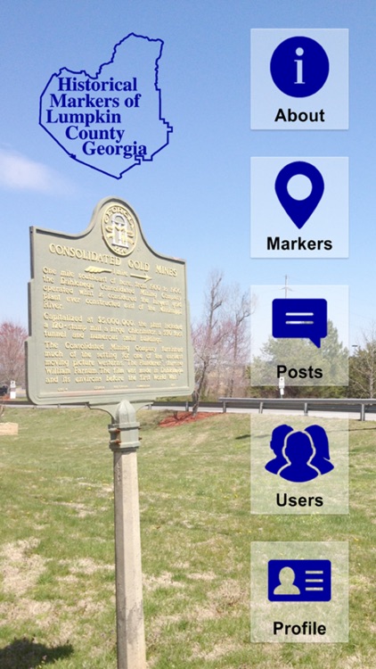
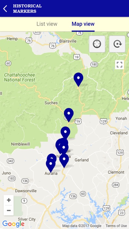
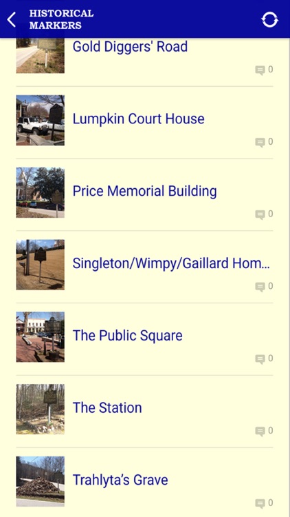
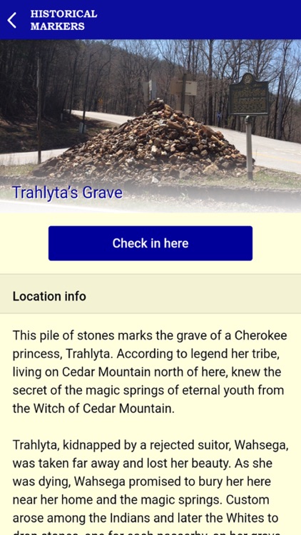
Historical Markers of Lumpkin County is an educational and informative app that is a useful tool for both historians and travelers of Lumpkin County, Georgia. The app features information on all of the Georgia Historical Markers currently erected in Lumpkin County, an hour’s drive north of Atlanta, Georgia. The historical markers are presented as both a list and via map for ease of use and flexibility. A photo and the complete text contents for each marker are displayed along with written directions from the Public Square of Dahlonega, the seat of Lumpkin County. Users can create a profile to allow them to check into locations and share posts and photos on social media with other users of the app.
App Screenshots
App Store Description
Historical Markers of Lumpkin County is an educational and informative app that is a useful tool for both historians and travelers of Lumpkin County, Georgia. The app features information on all of the Georgia Historical Markers currently erected in Lumpkin County, an hour’s drive north of Atlanta, Georgia. The historical markers are presented as both a list and via map for ease of use and flexibility. A photo and the complete text contents for each marker are displayed along with written directions from the Public Square of Dahlonega, the seat of Lumpkin County. Users can create a profile to allow them to check into locations and share posts and photos on social media with other users of the app.
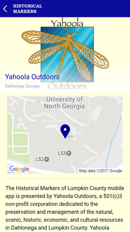
This app is presented by Yahoola Outdoors, a 501(c)3 non-profit corporation dedicated to the preservation and management of the natural, scenic, historic, economic, and cultural resources in the city of Dahlonega and in Lumpkin County, Georgia. More information about Yahoola Outdoors, including a membership application and other publications and maps are available via links in the app.
Disclaimer:
AppAdvice does not own this application and only provides images and links contained in the iTunes Search API, to help our users find the best apps to download. If you are the developer of this app and would like your information removed, please send a request to takedown@appadvice.com and your information will be removed.
AppAdvice does not own this application and only provides images and links contained in the iTunes Search API, to help our users find the best apps to download. If you are the developer of this app and would like your information removed, please send a request to takedown@appadvice.com and your information will be removed.