You are using an outdated browser. Please
upgrade your browser to improve your experience.

*This is the Ad-Free version of Hurricane Track*

Hurricane Track+ Storm Tracker
by Mach Software Design
What is it about?
*This is the Ad-Free version of Hurricane Track*
App Screenshots
App Store Description
*This is the Ad-Free version of Hurricane Track*
Hurricane Track 3.0 is the most advanced, modern, and easiest to use Hurricane Tracking and Radar application! Hurricane Track 3.0 features incredible new features such as 18 World Radars featuring the newly launched GOES-16 Satellite, a new customizable dynamic Local Radar using NEXRAD "next-generation radar" technology, Forecast and Hazard warnings, future projected tropical cyclone paths, Lightning Intensity Radars, Sea Temperatures, Cloud Formations that can potentially turn into tropical cyclones, Maps, an interactive 3D Earth, detailed tropical storm information and discussion, and much much more! Hurricane Track 3.0 brings the most advanced hurricane tracking technology to your fingertips!
Innovative Features!
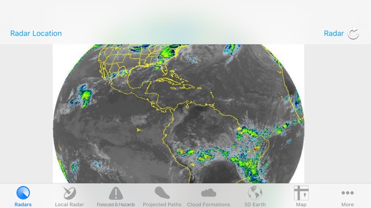
- 300+ World Radars: 18 Radar Locations around the globe with 17 Radars per Location
- Customizable Advanced Local Radar using NEXRAD technology (U.S. only)
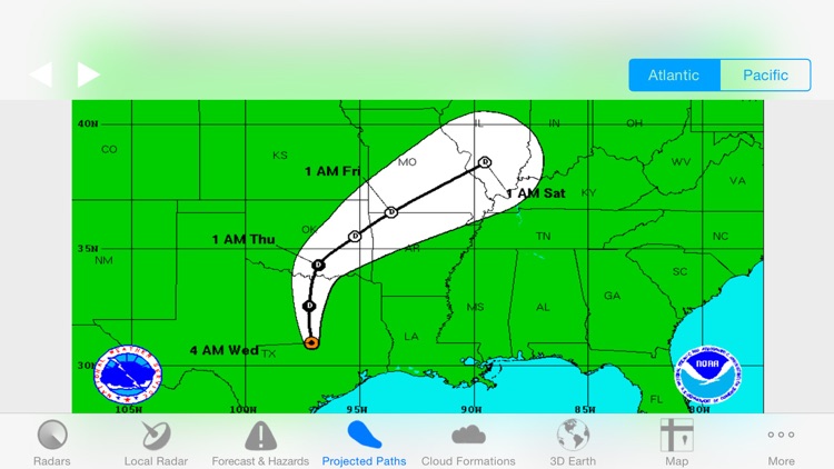
- Projected Tropical Storm paths: Future tropical storm paths for the next five days
- Forecast and Hazards give you detailed forecasts for different periods of the day, and hazards that you should look out for (Tornado Watch, Flood Warning, High Tide, etc.) (U.S. only, Updated hourly)
- Innovative Lightning Intensity Radars
- Interactive Map with Tropical Cyclones, Live Clouds, and Earthquakes
- Sea Surface Temperatures for the past two months
- Graphical outlines of cloud formations that can turn into potential Tropical Storms
- 3D Earth with Live Clouds, Tropical Storms, and Earthquakes
- Tropical Storm and Weather Information, Summaries, Discussions, and Outlooks
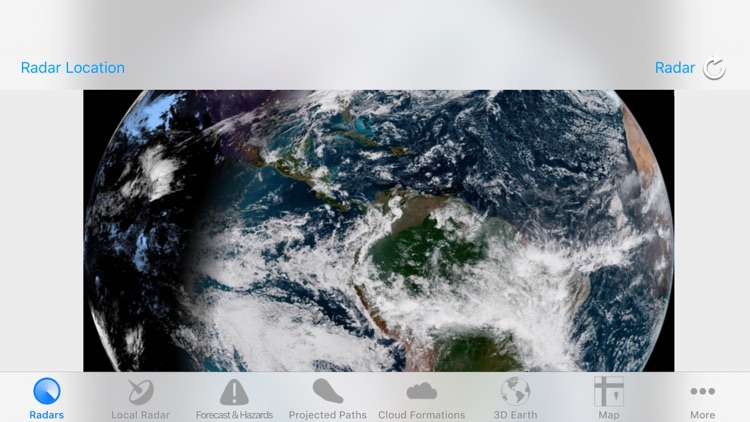
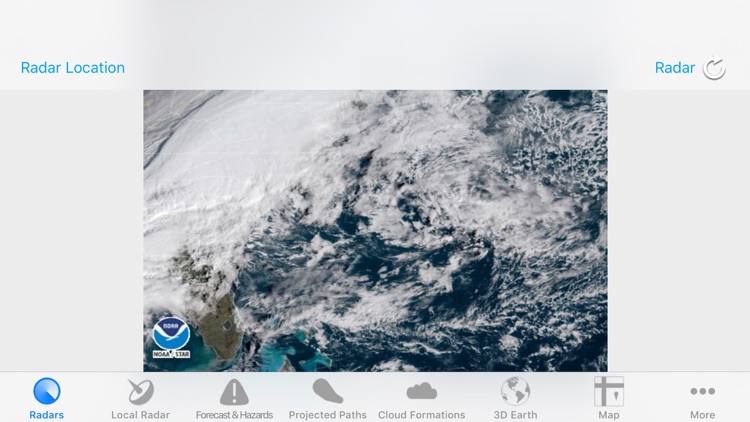
8 World Radars for 12 different Locations around the Globe!
- Visible - Unenhanced visible imagery that transitions to IR2 overnight
- Shortwave - Channel 2 Shortwave Infrared imagery - Shortwave, sometimes considered "night visible"
- Water Vapor - IR Channel 3
- Aviation - Aviation color enhancement
- Dvorak - Used for tropical classifications with the Dvorak technique
- JSL - Used to bring out low level and high level clouds in tropical cyclones
- Funktop - Higlights intense areas of precipitation
- Rainbow - Rainbow enhancement curve, colorful enhancement
Disclaimer:
AppAdvice does not own this application and only provides images and links contained in the iTunes Search API, to help our users find the best apps to download. If you are the developer of this app and would like your information removed, please send a request to takedown@appadvice.com and your information will be removed.
AppAdvice does not own this application and only provides images and links contained in the iTunes Search API, to help our users find the best apps to download. If you are the developer of this app and would like your information removed, please send a request to takedown@appadvice.com and your information will be removed.