You are using an outdated browser. Please
upgrade your browser to improve your experience.
Stretching from France to Austria, the Alps are a scenic destination for winter sports and summer hikes

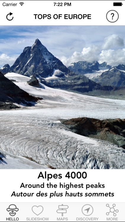
iAlps4000 - Around the highest peaks
by Isabelle Billerey
What is it about?
Stretching from France to Austria, the Alps are a scenic destination for winter sports and summer hikes. More than 80 summits peak over 13,000 feet above sea level, and this app shows you where to go to feel like standing on top of the world.
App Screenshots
App Store Description
Stretching from France to Austria, the Alps are a scenic destination for winter sports and summer hikes. More than 80 summits peak over 13,000 feet above sea level, and this app shows you where to go to feel like standing on top of the world.
It's not an app made for mountaineers, it's made for hikers and skiers as well as people who just love to enjoy breathtaking panoramas while having a drink on a sunny terrace near the cable car top station.
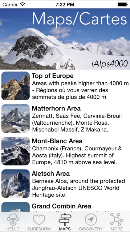
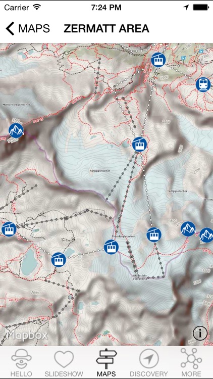
The focus is on the 4000ers, mountains peaking over 13,000 feet above sea level, in France, Switzerland, and Italy. Summits and neighbouring points of interest are displayed on relief maps with your current location. See what's around you and what is hidden behind the peaks surrounding you!
On ski slopes or hiking trails, see where you are precisely, with contour lines displaying the surrounding relief. No need for a connection, the GPS of your device does the job and shows you everything on embedded maps.
POIs are online and cached in your device for offline use as soon as you check a map when you are connected. If you don't cache POIs, an offline mode with embedded POIs is also available.
The Alpine 4000ers are scattered in seven areas:
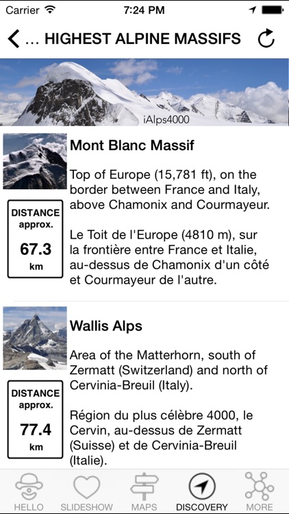
VALAIS ALPS, with Zermatt, the Matterhorn, the Monte Rosa Massif, and many other Alpine wonders on the border between Switzerland and Italy.
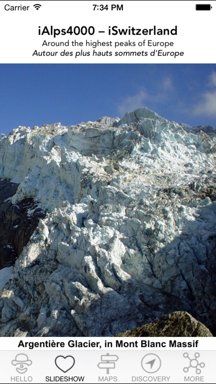
MONT BLANC MASSIF, top of the Alps peaking at 15,781 ft above sea level, high above Chamonix in France and Courmayeur in Italy.
BERNESE ALPS, around the Aletschgletscher, where the Jungfraujoch brushes against Eiger, Mönch, Jungfrau, and largest Alpine glaciers.
GRAND COMBIN, wild massif standing between Mont Blanc and Matterhorn, high above Verbier and some of the most picturesque valleys.
BERNINA MASSIF, easternmost 4000er of the Alps, above St. Moritz and the Upper Engadin, one of the sunniest valleys of Switzerland.
MASSIF DES ÉCRINS, southernmost 4000er of the Alps, about half way between Lake Geneva and the Mediterranean Sea, in the French Alps.
GRAN PARADISO, a lone massif and national park in Italy, south of Val d'Aoste, where the Alpine ibex was saved from extinction.
Each area is displayed on a relief map showing you all summits over 4,000 m above the sea with the surrounding towns and villages, as well as points of view you can reach with a car, a mountain railway, or a cable car to be close to the highest peaks.
Have a nice journey around the highest Alpine summits!
Disclaimer:
AppAdvice does not own this application and only provides images and links contained in the iTunes Search API, to help our users find the best apps to download. If you are the developer of this app and would like your information removed, please send a request to takedown@appadvice.com and your information will be removed.
AppAdvice does not own this application and only provides images and links contained in the iTunes Search API, to help our users find the best apps to download. If you are the developer of this app and would like your information removed, please send a request to takedown@appadvice.com and your information will be removed.