You are using an outdated browser. Please
upgrade your browser to improve your experience.

Download the internationally award-winning Instant Weather Maps Free weather model app today

Instant Weather Maps Free
by Instant Weather Maps, LLC
What is it about?
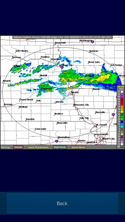
Download the internationally award-winning Instant Weather Maps Free weather model app today! Using Instant Weather Maps Free, you can view the same weather data that meteorologists use in making their forecasts. Instant Weather Maps Free offers all of the North American 00Z GFS images available on the NCEP Model Analysis and Guidance site, in addition to all of the Base Reflectivity images available on the NWS Radar website.
Instant Weather Maps Free is FREE but there are more add-ons
-
$0.99
Remove Ads
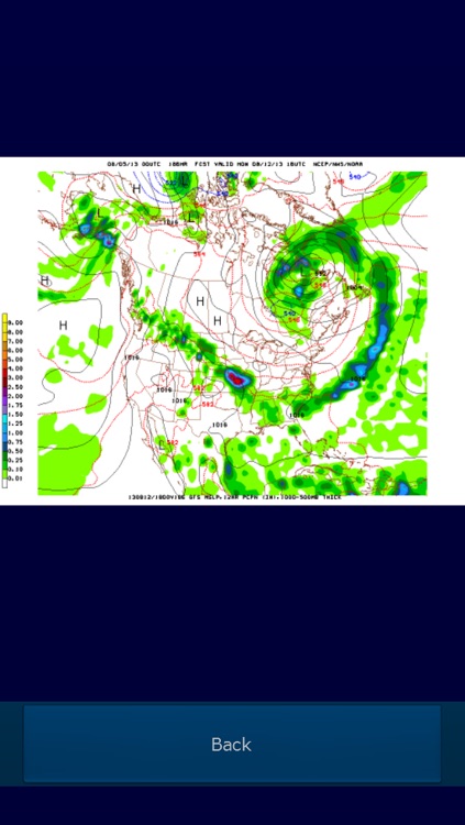
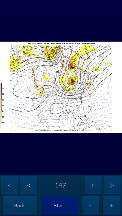
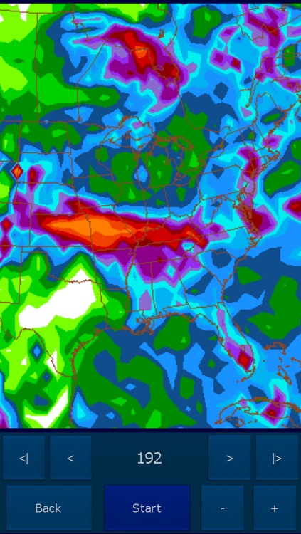
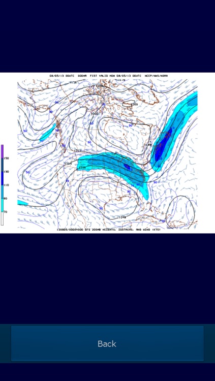
App Screenshots
App Store Description
Download the internationally award-winning Instant Weather Maps Free weather model app today! Using Instant Weather Maps Free, you can view the same weather data that meteorologists use in making their forecasts. Instant Weather Maps Free offers all of the North American 00Z GFS images available on the NCEP Model Analysis and Guidance site, in addition to all of the Base Reflectivity images available on the NWS Radar website.
Select your desired map using the intuitive user interface. Then simply rotate the screen and your map will appear. Pinch to zoom, and swipe to scroll across the zoomed image. Swipe left or right with three or more fingers to move the forecast hour backward or forward.
Or, if you prefer, choose a variable to view either all forecast hours of that variable or a subset based on a user-definable interval. Use the easy-to-understand controls to manually step through the time sequence, or view an animated loop which can be sped up and slowed down. Pinch to zoom in and out, and swipe to scroll across the zoomed animation.
Upgrade to Instant Weather Maps Pro to remove all ads, in addition to being able to view weather model data from the GFS, NAM, RUC, GEFS, SREF, WW3, HRW, POLAR, NAEFS, and RTMA weather models, and maps from many regions, including but not limited to North America, South America, Africa, Pacific Ocean, Atlantic Ocean, Europe, and Asia. Also in the Pro version, view radar mosaics from 12 regions of the United States and radar images and loops of 8 different variables from over 150 US cities. Instant Weather Maps Pro offers over 99% of the images available on the NCEP Model Analysis and Guidance website, as well as over 99% of the images and animations available on the NWS Radar website; and view an unparalleled selection of variables from the GFS, NAM, RAP, and 21 GEFS members (including Kuchera-method snowfall); as well as selected ECMWF variables, with the fastest loading speed available on any model app.
NOTE: In-app purchase to remove ads does NOT add any other functionality to the app. To get additional features, you must instead purchase Instant Weather Maps Pro.
Disclaimer:
AppAdvice does not own this application and only provides images and links contained in the iTunes Search API, to help our users find the best apps to download. If you are the developer of this app and would like your information removed, please send a request to takedown@appadvice.com and your information will be removed.
AppAdvice does not own this application and only provides images and links contained in the iTunes Search API, to help our users find the best apps to download. If you are the developer of this app and would like your information removed, please send a request to takedown@appadvice.com and your information will be removed.