You are using an outdated browser. Please
upgrade your browser to improve your experience.

GPS-listed and panorama walks and tourist information for the Iron Age Danube Route, a certified Cultural Route of the Council of Europe

Iron Age Danube Route
by MTA SZTAKI


What is it about?
GPS-listed and panorama walks and tourist information for the Iron Age Danube Route, a certified Cultural Route of the Council of Europe.
App Screenshots


App Store Description
GPS-listed and panorama walks and tourist information for the Iron Age Danube Route, a certified Cultural Route of the Council of Europe.
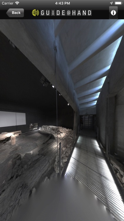
The GUIDE@HAND walks are created to help you see new places, objects and patterns and discover the past and present of the Iron Age sights with a fresh perspective. Our GPS-listed and panorama walks are designed in a way that you can simply use your mobile device as a Guide. With GUIDE@HAND you can always determine your location, and see where you are on the map. You can also view pictures/images of the sights or read what you have seen previously.
The Iron Age Danube Route enhances the Danube Region’s archaeological heritage of the last millennium BC. Along the Iron Age Danube Route, travellers can discover archaeological and open-air museums, reconstructed houses and tumuli, as well as archaeological trails. The Iron Age Danube Route was born from the Iron-Age-Danube Interreg project, that fostered international research, protection and sustainable use of important Iron Age landscapes.
What to gain by getting GUIDE@HAND?
INSTALL:
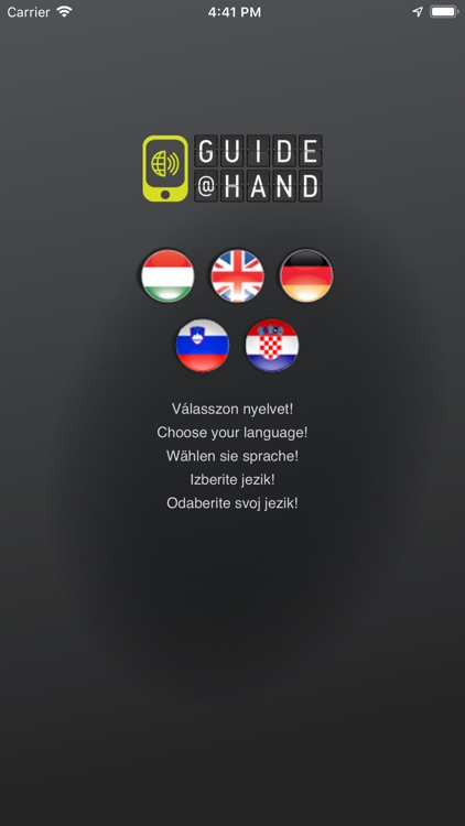
By installing Iron Age Danube Route GUIDE@HAND, you already have access to our offline maps. Your current location will be indicated on the map and you can easily browse various services (POIs) available in the vicinity of your location. You can set the default language here.
DOWNLOAD A WALK:
By downloading one or more of our site walks from the "Routes" tab, you will enrich your map with much new sightseeing information, points of interest, pictures and descriptions.
Have fun and enjoy discovering!
Disclaimer:
AppAdvice does not own this application and only provides images and links contained in the iTunes Search API, to help our users find the best apps to download. If you are the developer of this app and would like your information removed, please send a request to takedown@appadvice.com and your information will be removed.
AppAdvice does not own this application and only provides images and links contained in the iTunes Search API, to help our users find the best apps to download. If you are the developer of this app and would like your information removed, please send a request to takedown@appadvice.com and your information will be removed.