You are using an outdated browser. Please
upgrade your browser to improve your experience.

Kea topoguide is a digital field guide for hikers and nature lovers

Kea topoguide
by Topoguide - T ADAMAKOPOULOS - A ADAMAKOPOULOS O.E.
What is it about?
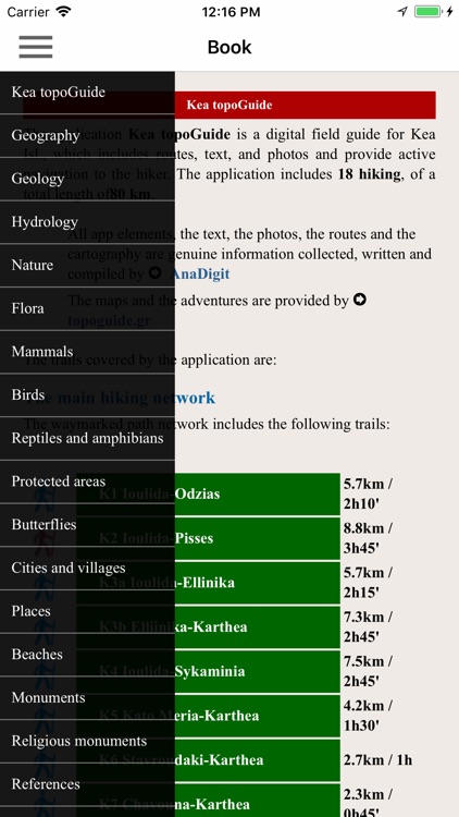
Kea topoguide is a digital field guide for hikers and nature lovers. It includes routes, descriptions and photos for 18 hiking trails on the beautiful island of Kea.
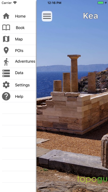
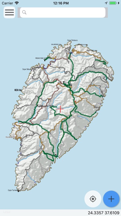
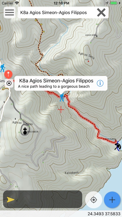
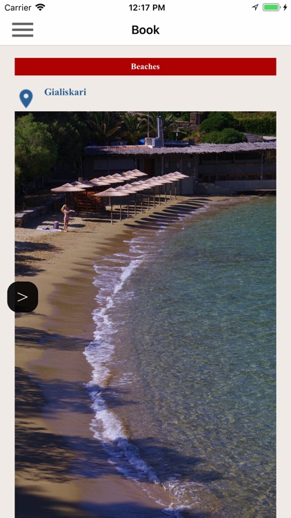
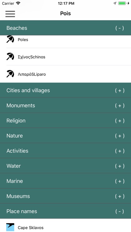
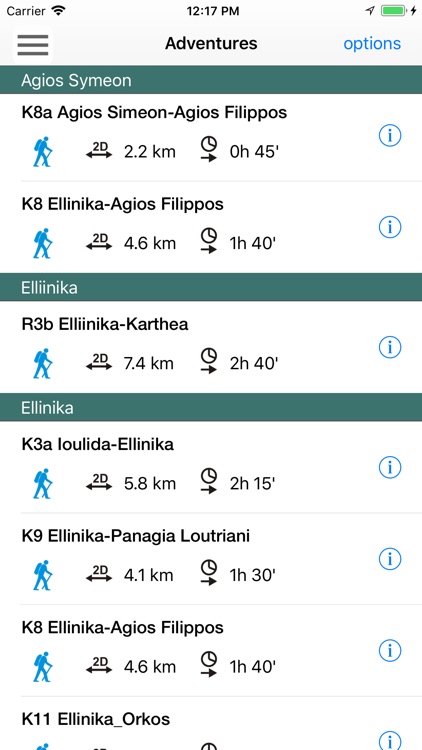
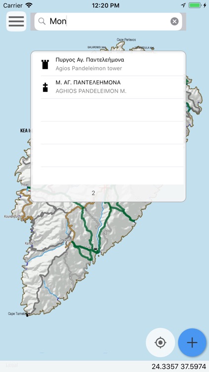
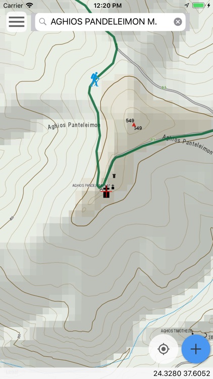
App Screenshots
App Store Description
Kea topoguide is a digital field guide for hikers and nature lovers. It includes routes, descriptions and photos for 18 hiking trails on the beautiful island of Kea.
The application offers detailed offline maps and an extensive introduction on geography, the nature and the paths of Kea island, including a large chapter on the island's nature.
The app offers also a useful list of POIs with a search feature on the map screen.
The trails list includes easy and moderate hiking trails, of a total length of 80 km.
In the field, the app identifies the nearest adventure, guides you to it and then along it by displaying messages and warnings on every junction or other important location. On each Point of Interest, photos and texts are displayed on the map. If the hiker gets off-trail, the app indicates the shorter way to get back safely.
Also, a navigation feature allows to calculate routes and distances along roads and paths anywhere on the island.
The cartographic company Topoguide, creator of the application, has issued previously hundreds of detailed hiking maps for Greece (eg. maps of Mt. Olympus, Crete, Zagori, Sifnos, Naxos and other Aegean islands). To build the application and ensuring data accuracy, all paths of Kea island have been revised during Summer of 2018.
DISCLAIMER
During track recording, continued use of GPS can dramatically decrease battery life.
Disclaimer:
AppAdvice does not own this application and only provides images and links contained in the iTunes Search API, to help our users find the best apps to download. If you are the developer of this app and would like your information removed, please send a request to takedown@appadvice.com and your information will be removed.
AppAdvice does not own this application and only provides images and links contained in the iTunes Search API, to help our users find the best apps to download. If you are the developer of this app and would like your information removed, please send a request to takedown@appadvice.com and your information will be removed.