You are using an outdated browser. Please
upgrade your browser to improve your experience.

Created for Kentucky’s Touchstone Energy Cooperatives to provide cutting edge resources for economic developers around the world looking to locate industrial projects in sites with some of the lowest electric rates in the country

KY PowerMap
by East Kentucky Power Cooperative
What is it about?
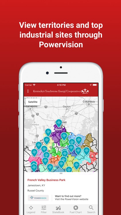
Created for Kentucky’s Touchstone Energy Cooperatives to provide cutting edge resources for economic developers around the world looking to locate industrial projects in sites with some of the lowest electric rates in the country. The first of its kind, PowerMap puts the power of locational knowledge in your hand with detailed co-operative service territory maps for all of our 87 counties served by the Kentucky Touchstone Energy Cooperatives. Type in an address or use your mobile device’s GPS capabilities to determine if you are in one of our 16 co-operatives’ service territories. Leverage over 63,000 site selection data points from StateBook International, the premier data site for economic development site selectors (www.StateBook.com) to locate the perfect location for your next great economic development project. Use the app to access geo-specific data such as: availability of skills; detailed workforce data; available sites and buildings; quality of life attributes; along with narratives and facts about the community and region.
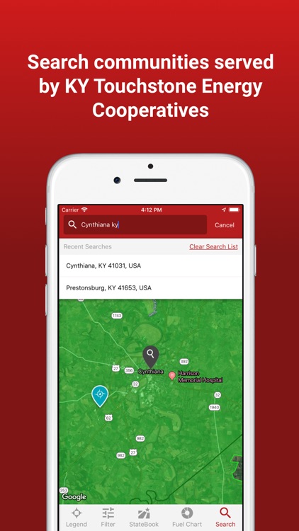
App Screenshots
App Store Description
Created for Kentucky’s Touchstone Energy Cooperatives to provide cutting edge resources for economic developers around the world looking to locate industrial projects in sites with some of the lowest electric rates in the country. The first of its kind, PowerMap puts the power of locational knowledge in your hand with detailed co-operative service territory maps for all of our 87 counties served by the Kentucky Touchstone Energy Cooperatives. Type in an address or use your mobile device’s GPS capabilities to determine if you are in one of our 16 co-operatives’ service territories. Leverage over 63,000 site selection data points from StateBook International, the premier data site for economic development site selectors (www.StateBook.com) to locate the perfect location for your next great economic development project. Use the app to access geo-specific data such as: availability of skills; detailed workforce data; available sites and buildings; quality of life attributes; along with narratives and facts about the community and region.
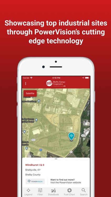
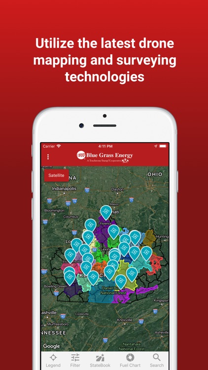
Now featuring an industry first PowerVision from QK4 (www.QK4.com), which brings the latest drone technologies to the economic development world to showcase some of the best industrial sites throughout Kentucky and the country. The drone flights have captured not only aerial footage of the sites but have also used the latest drone surveying and mapping technologies to create 3D files of the site which can be downloaded and utilized in the latest CAD (Computer Aided Design) software to determine site potentials as well as potential development costs.
Visit www.DataIsPower.org for more information about PowerMap; PowerVision and other initiatives being implemented by the Kentucky Touchstone Energy Cooperatives to make Kentucky the logical choice for your next economic development project.
KY PowerMap Features:
· Detailed co-operative service territory maps for all of our 87 counties served by the Kentucky Touchstone Energy Cooperatives
· Type in an address or use your mobile device’s GPS capabilities to determine if you are in one of the 16 Kentucky Touchstone Energy Cooperatives
· Access over 63,000 of the most recent site selection data points leveraged through StateBook International, the premier data site for economic development site selectors www.StateBook.com
· Locate building sites and available buildings for potential economic development opportunities in some of the lowest energy costs regions of the country
· Determine service territory information whether you have a cell signal or not
· Conceived by and built for Economic Developers to access pertinent data in the quickest timeframe
· Part of the suite of economic development efforts by the Kentucky Touchstone Energy Cooperatives
Disclaimer:
AppAdvice does not own this application and only provides images and links contained in the iTunes Search API, to help our users find the best apps to download. If you are the developer of this app and would like your information removed, please send a request to takedown@appadvice.com and your information will be removed.
AppAdvice does not own this application and only provides images and links contained in the iTunes Search API, to help our users find the best apps to download. If you are the developer of this app and would like your information removed, please send a request to takedown@appadvice.com and your information will be removed.