You are using an outdated browser. Please
upgrade your browser to improve your experience.
Lincoln Park map is extremely advanced with all information collected from the National/State Park and Forest Services and many other local sources

Lincoln Park (Chicago) - GPS Map Navigator
by Flytomap
What is it about?
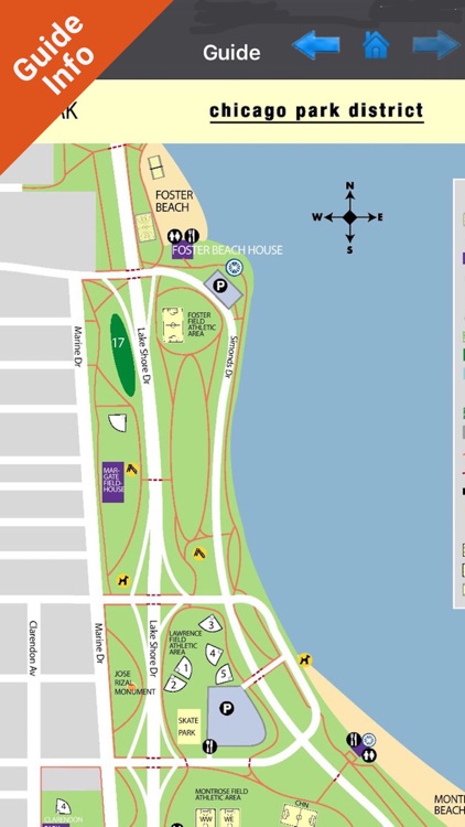
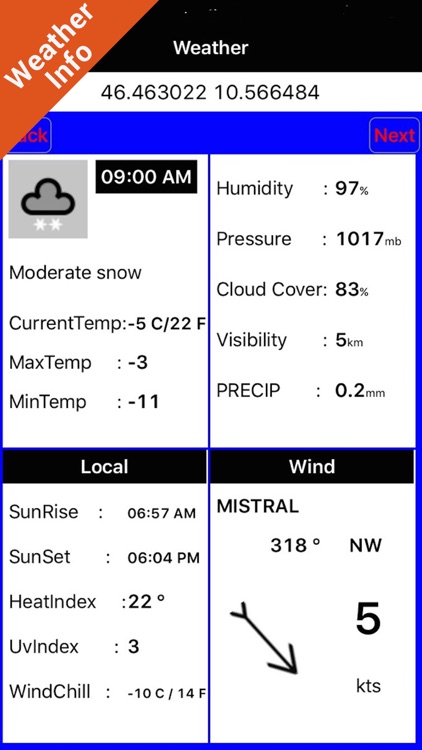
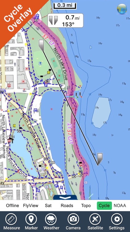
Lincoln Park map is extremely advanced with all information collected from the National/State Park and Forest Services and many other local sources. The maps contain all trails (Hiking, Biking, Equestrian trails etc.,) and Points of interests (POI) like Campgrounds, Visitor Centers, Lookout points, Eating places, Ranger Stations, Picnic areas, Boat/Canoe ramps, Parking areas etc. and much more
App Screenshots
App Store Description
Lincoln Park map is extremely advanced with all information collected from the National/State Park and Forest Services and many other local sources. The maps contain all trails (Hiking, Biking, Equestrian trails etc.,) and Points of interests (POI) like Campgrounds, Visitor Centers, Lookout points, Eating places, Ranger Stations, Picnic areas, Boat/Canoe ramps, Parking areas etc. and much more
“Offline maps with satellite modes won’t let you go below your expectations anywhere during voyage”
•Fast Zoom and Pan
•Add as many as Favorites
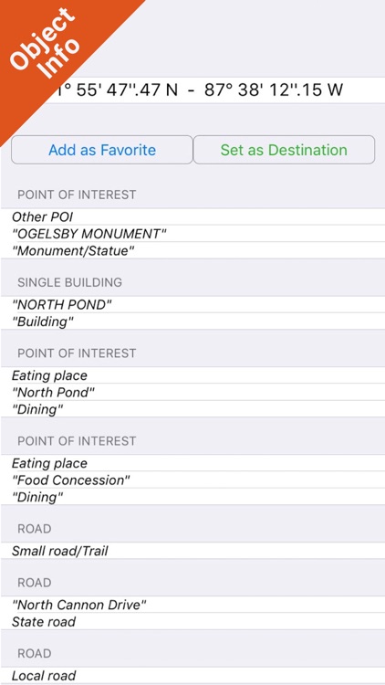
•Find locations by Lat Lon
•Compass
•Advanced Photo Management
•Multiple Waypoints can be inserted
•Accurate GPS
•Save Track and email friends
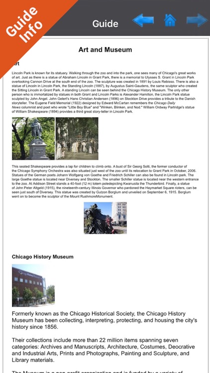
•User & Park Guide
•Search your Favorite points or any location by name
“Guide lists number of activities and facilities info. for Picnics and Barbecues, Cycling, Fishing, Walking Tracks, Paddling etc.
“Exploring the map you will find all Trails, Point of Interests (POI), Lakes, Rivers, Elevations etc and many more…….”
Note:
"Continued use of GPS running in the background can dramatically decrease battery life."
"Turn off GPS when not in use"
Disclaimer:
AppAdvice does not own this application and only provides images and links contained in the iTunes Search API, to help our users find the best apps to download. If you are the developer of this app and would like your information removed, please send a request to takedown@appadvice.com and your information will be removed.
AppAdvice does not own this application and only provides images and links contained in the iTunes Search API, to help our users find the best apps to download. If you are the developer of this app and would like your information removed, please send a request to takedown@appadvice.com and your information will be removed.