You are using an outdated browser. Please
upgrade your browser to improve your experience.
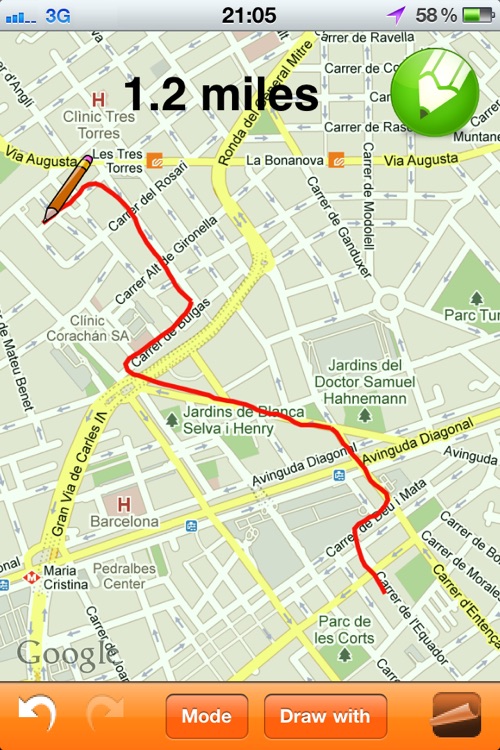
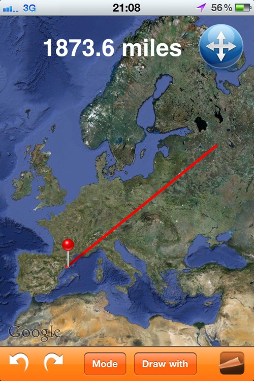
"Map Distance" allows users to know the distance of any path/route drawn on the map

Map Distance
by Pau Corbella
Removed from the App Store
Map Distance is an okay app for $0.99. It does offer something that the essential app does not. The ability to simply draw a line with turns and curves is what will sell this app. Many times you are unable to travel in straight lines. You can draw your exact route and have it calculate the distance for you. There are not many more features. This app is basically an alternative to Path on Map Distance. We hope to see the app improved over time. A nice start for those that need this functionality.
What is it about?
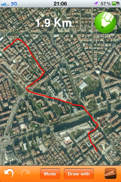
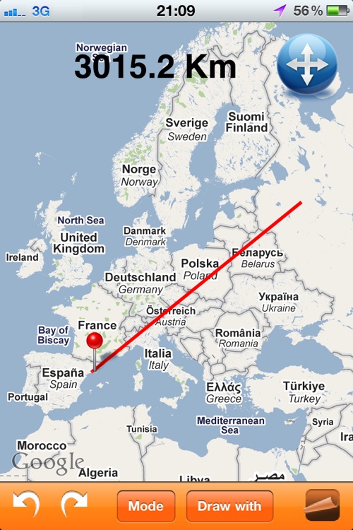
"Map Distance" allows users to know the distance of any path/route drawn on the map. Can be used in any zoom level, at any orientation (LANDSCAPE and PORTRAIT), being useful to calculate distances between countries, cities, streets as well as length of trails or routes. The feature of marking your current location allows also knowing any distance between you and other places.
App Screenshots
App Store Description
"Map Distance" allows users to know the distance of any path/route drawn on the map. Can be used in any zoom level, at any orientation (LANDSCAPE and PORTRAIT), being useful to calculate distances between countries, cities, streets as well as length of trails or routes. The feature of marking your current location allows also knowing any distance between you and other places.
Just drag your finger on the map and see in real time the overall distance! Can use straight lines to know point-to-point distance or curved lines to draw exactly the path you want to know the length. The path can have as many segments/stretches as you want, allowing to UNDO and REDO if necessary.
Once the path is drawn, it can be shared with others:
- by sending a ScreenShot of the map, or
- by sending a KML file which allows you to see the path in your computer with GoogleEarth!
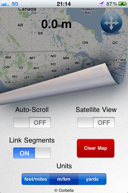
The distance can be shown in international units (Meters/Km) or American units (Feet/Miles/Yards). The application can be used in either Map-Mode or Satellite-Mode.
This application is available in iPhone/iPod and iPad
For any trouble: corbella83@gmail.com
Disclaimer:
AppAdvice does not own this application and only provides images and links contained in the iTunes Search API, to help our users find the best apps to download. If you are the developer of this app and would like your information removed, please send a request to takedown@appadvice.com and your information will be removed.
AppAdvice does not own this application and only provides images and links contained in the iTunes Search API, to help our users find the best apps to download. If you are the developer of this app and would like your information removed, please send a request to takedown@appadvice.com and your information will be removed.