You are using an outdated browser. Please
upgrade your browser to improve your experience.

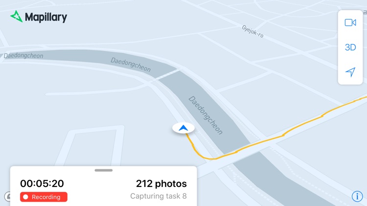
Use this app to complete imagery capture tasks and track your progress if you are a paid driver for Mapillary or part of a capture project for your organization on Mapillary

Mapillary Driver
by Mapillary AB
What is it about?
Use this app to complete imagery capture tasks and track your progress if you are a paid driver for Mapillary or part of a capture project for your organization on Mapillary.
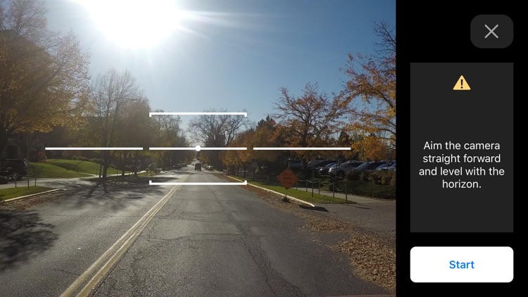
App Screenshots
App Store Description
Use this app to complete imagery capture tasks and track your progress if you are a paid driver for Mapillary or part of a capture project for your organization on Mapillary.
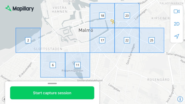
The Mapillary Driver app belongs to the Capture Projects toolset, which helps quickly cover an area with fresh street-level imagery by dividing it into tasks that are assigned to drivers. You can only use the app if you’ve been added to a capture project. The app lets you:
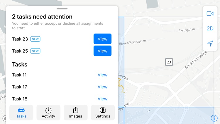
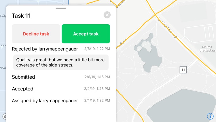
1. Accept tasks assigned to you by the project admin
2. Log your capture sessions with the app
3. Use the smartphone to capture and upload imagery
4. Submit completed tasks for admin review and get feedback
5. Get an overview of your driving activity and stats
Capture projects are set up and managed on the Mapillary web app. As a driver, you only need to use the mobile app—progress is recorded automatically and visible to project admins in real-time on the web dashboard.
All uploaded imagery is processed with computer vision on the Mapillary platform to detect objects in images and generate fresh map data that’s available to everyone for updating maps. To access imagery and map data, go to https://www.mapillary.com/app.
ABOUT MAPILLARY
Mapillary is the street-level imagery platform that scales and automates mapping using collaboration, cameras, and computer vision. Anyone can capture images of any place, as often as needed. Mapillary connects all images to create 3D views of places and automatically extract map data from the imagery, making it available to anyone to make better maps and develop our cities and traffic environments.
Disclaimer:
AppAdvice does not own this application and only provides images and links contained in the iTunes Search API, to help our users find the best apps to download. If you are the developer of this app and would like your information removed, please send a request to takedown@appadvice.com and your information will be removed.
AppAdvice does not own this application and only provides images and links contained in the iTunes Search API, to help our users find the best apps to download. If you are the developer of this app and would like your information removed, please send a request to takedown@appadvice.com and your information will be removed.