You are using an outdated browser. Please
upgrade your browser to improve your experience.

MapIT Pro has been designed as a field scout tool to compliment Axis from Agrovista

MapIT Pro
by Precision Decisions Ltd.
What is it about?
MapIT Pro has been designed as a field scout tool to compliment Axis from Agrovista. Axis is an online hub that brings many elements of agricultural information into one place, the mapping section within Axis allows you to handle all data relating to Precision Farming from soil sample to yield data.
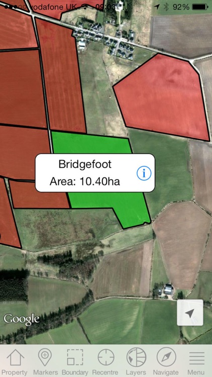
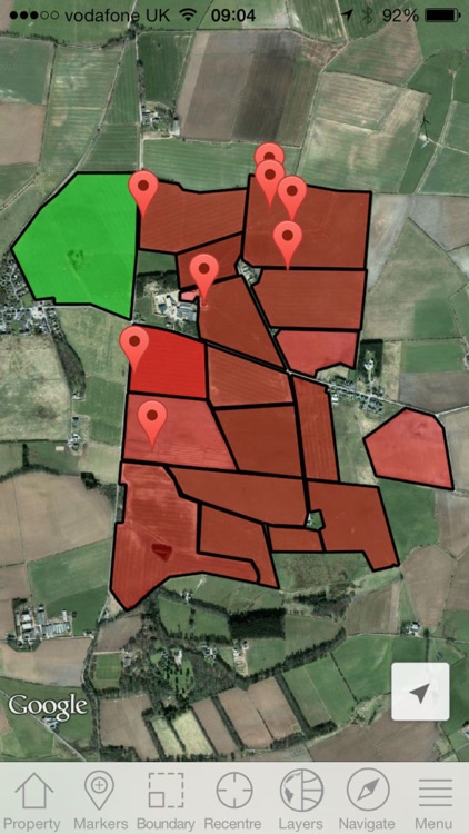
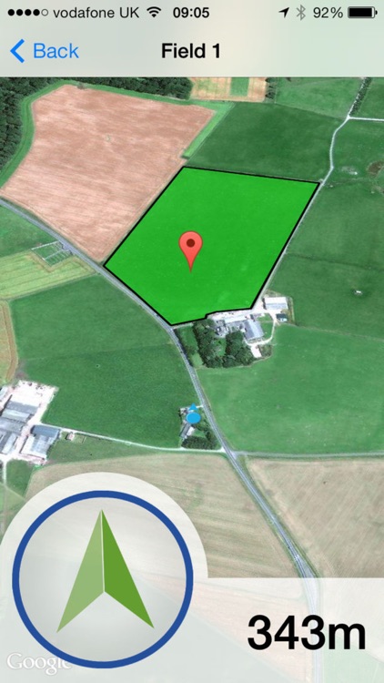
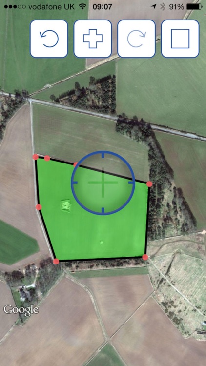
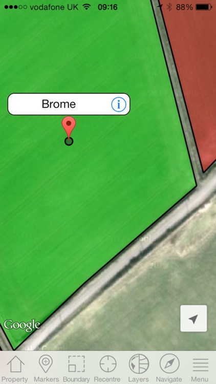
App Screenshots
App Store Description
MapIT Pro has been designed as a field scout tool to compliment Axis from Agrovista. Axis is an online hub that brings many elements of agricultural information into one place, the mapping section within Axis allows you to handle all data relating to Precision Farming from soil sample to yield data.
This app synchronises to the Axis mapping system to allow you to capture data real time in the field to use and store within Axis. Registration for Axis is free which includes limited map functions and use of the app, for full online mapping functionality a subscription charge will apply.
Features of the app:
- Add fields and automatically log boundaries or areas as you go
- Manually add field boundaries or areas with an intuitive online drawing tool
- Farms and fields set up on Axis will be downloaded to the app for offline use
- Add GPS points, these may be weed patches, disease, poor areas of crop, drainage point, fully customisable
- Stand in an area and automatically circle a noteworthy area
- Measure a temporary area
- Measure a distance between points
- Navigate yourself on the road to a field using the built in iPhone sat nav functions
- Navigate yourself to a field or point using the compass arrow and metre countdown feature
- Send directions to fields and points via email to open in a web browser
- Export boundaries in .csv format
- Synchronise all captured data back to Axis
Disclaimer:
AppAdvice does not own this application and only provides images and links contained in the iTunes Search API, to help our users find the best apps to download. If you are the developer of this app and would like your information removed, please send a request to takedown@appadvice.com and your information will be removed.
AppAdvice does not own this application and only provides images and links contained in the iTunes Search API, to help our users find the best apps to download. If you are the developer of this app and would like your information removed, please send a request to takedown@appadvice.com and your information will be removed.