You are using an outdated browser. Please
upgrade your browser to improve your experience.

Map points, lines, polygons and geophotos offline with a single tap

MapItFast
by AgTerra Technologies Inc
What is it about?
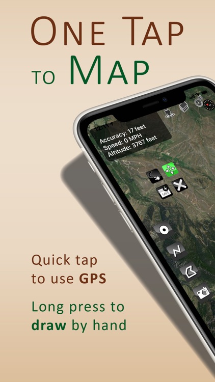
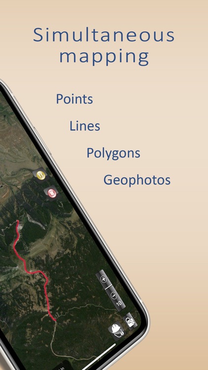
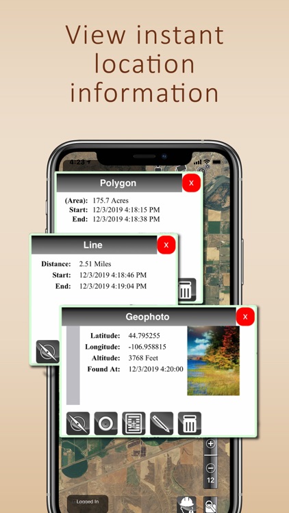
Map points, lines, polygons and geophotos offline with a single tap! MapItFast from AgTerra Technologies is a mapping and data collection solution that makes it easy for users GPS or draw features and generate maps from anywhere with or without internet access. MapItFast instantly calculates location information for mapped objects. GPS coordinates are provided for all points and photos. Lines and polygons include calculated distance and area. Multiple basemaps are included for aerial, street and topo reference. A data connection is not required for mapping.
App Screenshots
App Store Description
Map points, lines, polygons and geophotos offline with a single tap! MapItFast from AgTerra Technologies is a mapping and data collection solution that makes it easy for users GPS or draw features and generate maps from anywhere with or without internet access. MapItFast instantly calculates location information for mapped objects. GPS coordinates are provided for all points and photos. Lines and polygons include calculated distance and area. Multiple basemaps are included for aerial, street and topo reference. A data connection is not required for mapping.
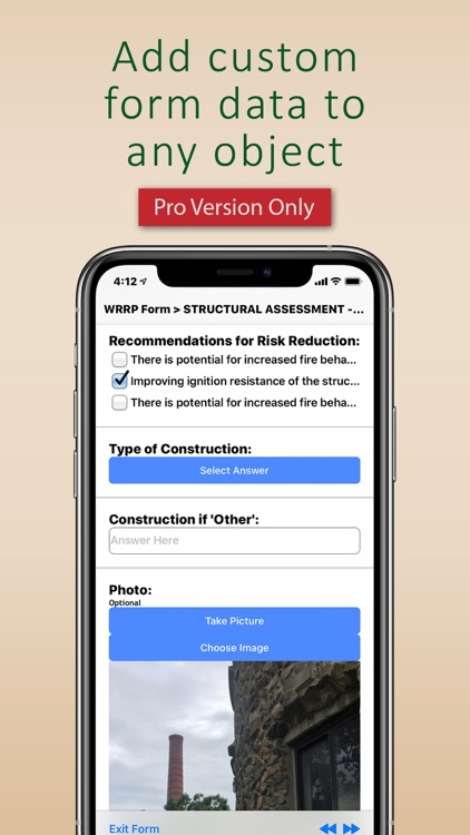
Note: The free mapping features of MapItFast are available for personal use without creating an account. Registering for a paid account unlocks professional mapping features and links the MapItFast mobile client with your private AgTerra account. The Pro Version extends mapping capabilities to:
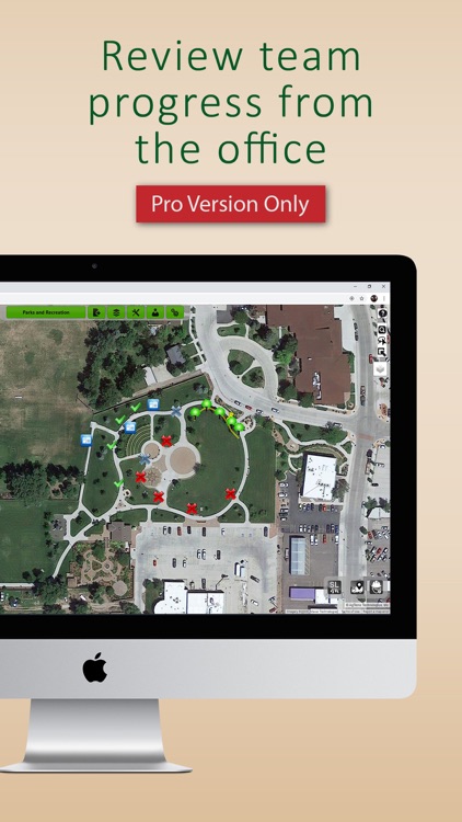
- Collaborate with team members, sharing all projects, user locations and contributions in real time on other
mobile devices and the web
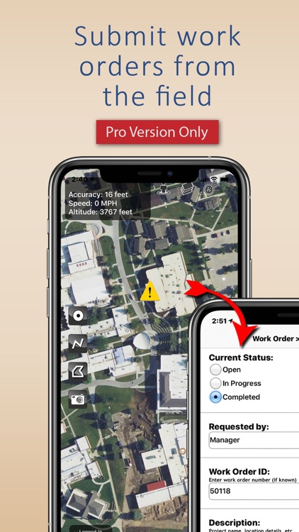
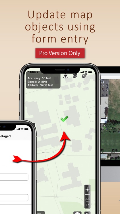
- Design custom electronic forms and attach them to any map object for collecting advanced attribute data
- Create, modify and manage multiple projects and move objects between projects
- Add shapefiles from other sources as a map overlay (include symbology and labeling)
- Add custom data dictionaries to speed and standardize attribution
- Add custom icons to maps
- Export to KMZ, SHP (shapefile) or GPX format for use in other GIS software
- Assign roles and permission based controls for projects and data
MapItFast is appropriate for all spatially based activities including inspections and surveys, agriculture mapping, wildfire and disaster response, utility work, crop scouting, mobile asset tracking, wildlife management, oil and gas fieldwork, forestry, rangeland monitoring, trail mapping, weed and pest projects, and even outdoor recreational activities such as hiking, biking, horseback riding, geocaching, and hunting.
Disclaimer:
AppAdvice does not own this application and only provides images and links contained in the iTunes Search API, to help our users find the best apps to download. If you are the developer of this app and would like your information removed, please send a request to takedown@appadvice.com and your information will be removed.
AppAdvice does not own this application and only provides images and links contained in the iTunes Search API, to help our users find the best apps to download. If you are the developer of this app and would like your information removed, please send a request to takedown@appadvice.com and your information will be removed.