You are using an outdated browser. Please
upgrade your browser to improve your experience.

• Maplets is the most comprehensive offline map app on the app store, with over 2 million map downloads by our users

Maplets – The Offline Maps App
by Zaia Design
$2.99 in the App Store
Maplets is your travel hub for finding and exploring all kinds of maps. It provides the user with maps of state parks, national parks, ski resorts, monuments, universities with more maps being added daily. This app plays very nicely with the integrated Google Maps. Not only will it find the closest maps to your current location, it will allow you to search within whatever parameters you provide. Once maps have been downloaded, they are stored for offline use and completely replace written materials and guides that are given out at specific locations. Your inner tree hugger will rejoice. The application also provides GPS for many of its maps and does so with great accuracy.Though maps are constantly being updated, Maplets will let you download as many maps as your phone can hold for free. Never leave home without Maplets.
What is it about?
• Maplets is the most comprehensive offline map app on the app store, with over 2 million map downloads by our users! •
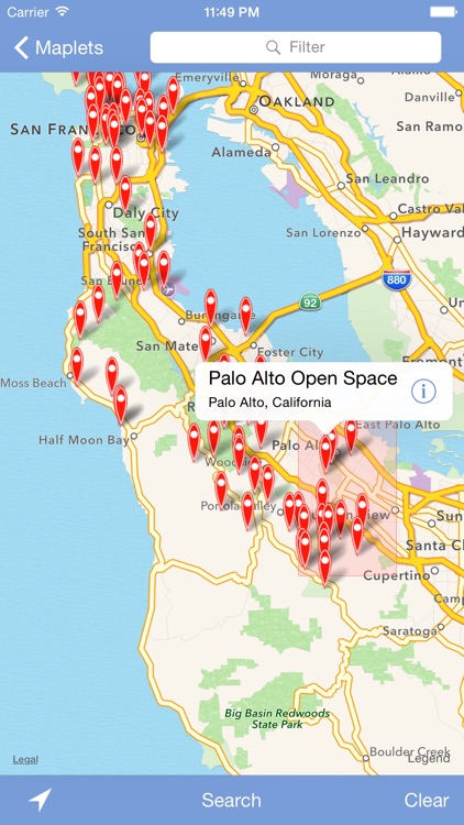
App Screenshots
App Store Description
• Maplets is the most comprehensive offline map app on the app store, with over 2 million map downloads by our users! •
• More than 10,000 maps in the US and worldwide including Yosemite, New York Subway, London Tube, Yellowstone, Grand Canyon, State Parks, and more. •
Maplets is the perfect compliment to Google Maps: You can download and store maps of national parks, state parks, metro, subway, bike maps, ski resorts, college campuses, zoos, theme parks and more! In addition, this is an iPhone and iPad universal app so there's no need to purchase the app separately for all your devices.
You do not need to purchase the more specific maplets apps such as Bike Maps or Metro Maps if you already own the full version. Maplets has access to the entire database of maps.
Please visit http://www.mobilemaplets.com/places to see a list of all available maps. Here are some examples:
P R E S S
—————
▶ Selected by WIRED App Guide as one of the “Outstanding Apps” in the Productivity category and rated it “Buy It Now”
▶ Featured by Apple in 'Apps for the Great Outdoors' and one of the Staff Favourites
NATIONAL and STATE PARKS:
——————————————
1000+ National and State Parks, including:
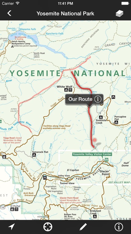
• Yosemite National Park
• Yellowstone National Park
• Grand Canyon National Park
... in fact, ALL the US National Parks, National Monuments, National Seashores are available
• State Parks in every state
• Local parks such as Central Park, Prospect Park, Griffith Park …
METRO and TRANSIT MAPS:
——————————————
300+ Metro, Subway, Bus and Train system maps
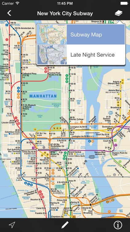
• New York City Subway
• London Tube Map
• Paris Metro
• San Francisco Muni
• Washington Metro
• MARTA
• SEPTA
… and many more!
BIKE TRAILS MAPS:
——————————————
500+ maps for bike routes, rail trails, ATV, OHV or snowmobiling, including:
• Los Angeles Bike Map
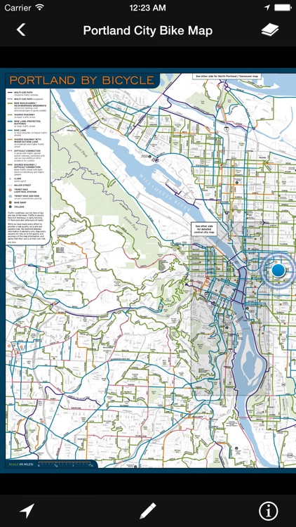
• Portland Bike Maps
• St Louis Bike Map
• Washington DC Bike Map
• Many rail trail maps
• Even Bike Maps in UK and other countries
… and much more!
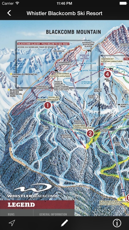
And then there are SKI RESORTS, UNIVERSITY CAMPUSES, ZOOS, THEME PARKS … There are just too many maps to list!
F E A T U R E S
———————
• Add notes to any map:
– Add a pin to mark a meeting point, draw a line to measure a distance or add a path sketch a route
- Share your notes with friends or export for backup
– Undo/redo and editing capabilities
• Every map download is free, with a continually updated source of maps.
• High Resolution and Fast – Much faster than viewing the equivalent PDFs on iPhones and iPads
• Once maps are downloaded, they are stored on the device for quick access even if you have slow or no internet connection at the location.
• GPS location for supported maps (see website for complete list). Please note that there's no turn-by-turn navigation feature at this point
• Organize your maps into folders
• Notification of new map updates
• Hotlinks to get up-to-date information such as weather, snow report. Requires live internet connection.
S U P P O R T
———————
If you'd like to see a park or place near you use Maplets, feel free to suggest it to us and we'll do our best to add it. Map requests are subject to availability of the particular map.
If you are an institution wishing to publish your map on our system, please contact us at accounts@mobilemaplets.com
For reporting bug, missing map information or feedback, please visit:
http://www.mobilemaplets.com/support
Disclaimer:
AppAdvice does not own this application and only provides images and links contained in the iTunes Search API, to help our users find the best apps to download. If you are the developer of this app and would like your information removed, please send a request to takedown@appadvice.com and your information will be removed.
AppAdvice does not own this application and only provides images and links contained in the iTunes Search API, to help our users find the best apps to download. If you are the developer of this app and would like your information removed, please send a request to takedown@appadvice.com and your information will be removed.