You are using an outdated browser. Please
upgrade your browser to improve your experience.

MARINE NAVIGATION

Marine Navigation
by Marco Palaferri
What is it about?
MARINE NAVIGATION
App Details
Version
14.0.2
Rating
(1)
Size
89Mb
Genre
Navigation Travel
Last updated
September 28, 2025
Release date
May 30, 2012
More info
App Screenshots
App Store Description
MARINE NAVIGATION
Find your way on the sea with ease! Our GPS chartplotter for boating is an easy-to-use offline GPS tracker and route planner featuring worldwide offline maps.
Whether you're a seasoned sailor, a fisherman, or just love water sports, this app is dedicated to the sea and the people who love it.
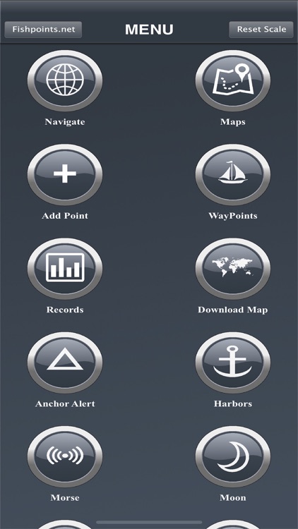
WHAT MAKES IT THE BEST GPS TRACKER AND NAVIGATOR:
Offline GPS tracker for boat navigation. GPS chartplotter for sailing and boating.
Morse Code in case of danger, Anchor Alert to prevent the drift of the anchor, and Moon Phase to show the phases of the moon during the day.
Harbors feature to see the list of ports.
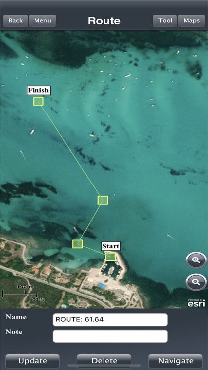
Sync Waypoints feature to be able to create backups and access them from different devices.
Download the maps and marine charts, so you won't need an active internet connection for navigation and route planning.
Create a profile to save waypoints and routes, and access them from different devices.
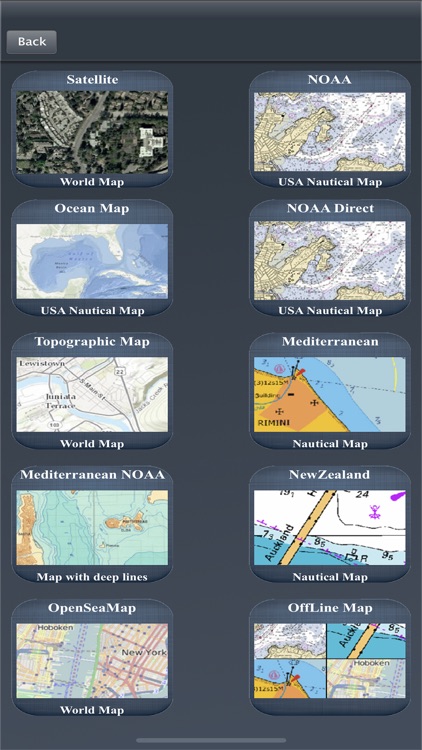
MAPS OFFLINE:
Download maps or marine charts to navigate on preloaded maps or charts without a connection.
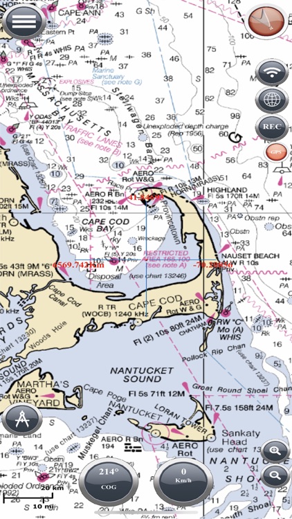
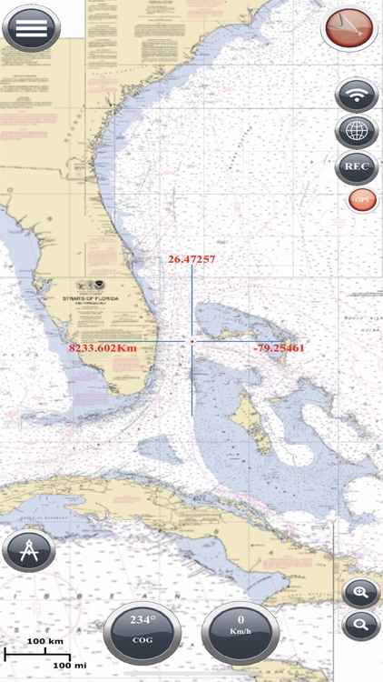
MAPS AND MARINE CHARTS:
Nautical maps of the United States of America by NOAA.
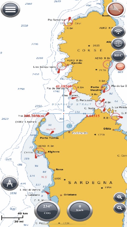
Nautical maps of the Mediterranean by NOAA.
Mediterranean RNC.
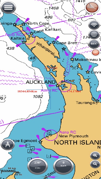
Nautical maps of New Zealand by LINZ.
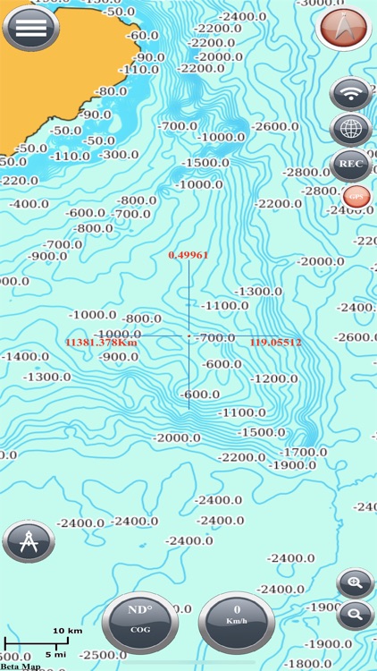
Maps of the world's oceans and coastal areas by ESRI.
World topographic map includes boundaries, cities, water features, ports, physiographic features by ESRI.
Satellite imagery for the world by ESRI.
Maps for the sea, with ports, sea lights, and more by Open Sea Map.
Beta Nautical maps by Fishpoints
MAIN FEATURES:
Super easy-to-use GPS tracker tool with a clean and neat design.
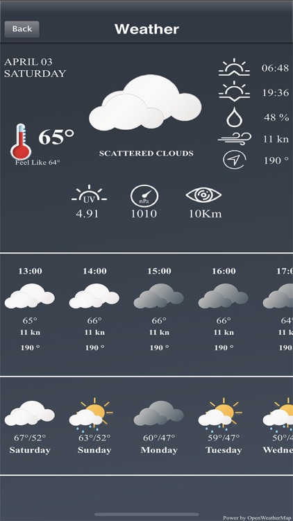
Weather feature.
GPX Import and Export.
Available in English, Italian, French, Spanish, Brazilian, Turkish, German, and Indonesian.
Download Maps to use in offline mode.
Accurate and detailed GPS Chartplotter, GPS plotter, and Marine charts.
Optimized for phones and tablets.
Receive information about speed, direction, and time to arrival.
Compass Magnetic or True.
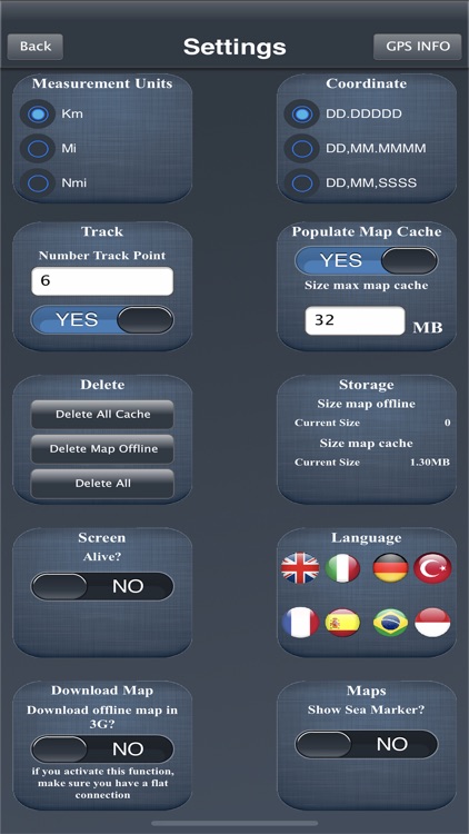
Change Measurement Units: Km, Mi, or Nmi.
Record your route to analyze the data and renavigate your trace.
LOCATION PERMISSION
The app needs your location to trace the route on the map. Location information is processed locally on your device, ensuring your privacy.
TRY THE FREE VERSION
Get more details about the app by trying our Marine Navigation Lite version.
HELP US IMPROVE
Download Marine Navigation and let us know about any bugs, feature requests, or any other suggestions. Stay tuned for more features and options in this GPS tracker app for boating.
WARNING
Good seamanship requires the use of official charts. Marine Navigation is for use with other charts and cannot replace official charts. Use at your own risk.
LEARN MORE ABOUT FISHPOINTS
Visit our official website or join us on Facebook.
TERMS OF USE: http://www.fishpoints.net/eula/
PRIVACY POLICY: http://www.fishpoints.net/privacy-policy
Disclaimer:
AppAdvice does not own this application and only provides images and links contained in the iTunes Search API, to help our users find the best apps to download. If you are the developer of this app and would like your information removed, please send a request to takedown@appadvice.com and your information will be removed.
AppAdvice does not own this application and only provides images and links contained in the iTunes Search API, to help our users find the best apps to download. If you are the developer of this app and would like your information removed, please send a request to takedown@appadvice.com and your information will be removed.