You are using an outdated browser. Please
upgrade your browser to improve your experience.

Mobile MapWorks from Hexagon Geospatial enables you to use your mobile device to update your GIS in the field

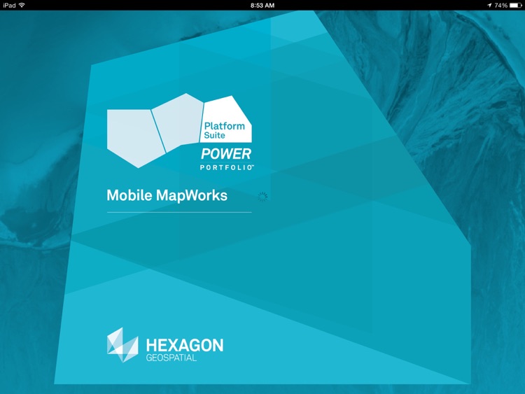
Mobile MapWorks
by Intergraph Corporation
What is it about?
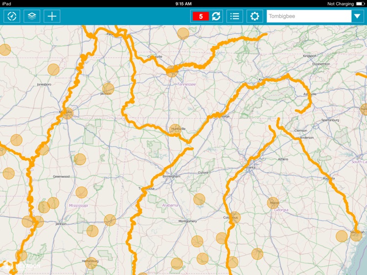
Mobile MapWorks from Hexagon Geospatial enables you to use your mobile device to update your GIS in the field. It provides quick navigation and map display with precise indication of GPS position.
App Screenshots

App Store Description
Mobile MapWorks from Hexagon Geospatial enables you to use your mobile device to update your GIS in the field. It provides quick navigation and map display with precise indication of GPS position.
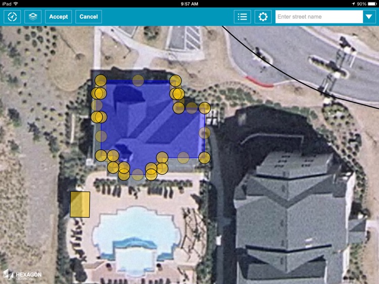
Field personnel can use Mobile MapWorks to view and edit feature attributes or make simple changes to feature geometry given reference data overlays. All updates are posted back to the GIS database in real time.
You can navigate your data using standard tablet gestures for zoom and panning, and use the tablet camera to take pictures of inspected assets that you can then store in the GIS database. Most importantly, Mobile MapWorks works on the same devices that people use in their personal lives.
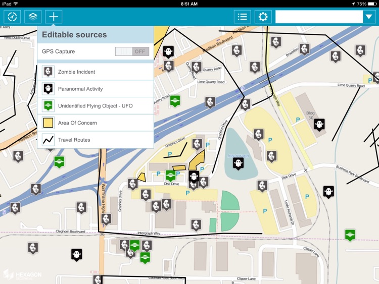
Mobile MapWorks uses web services compatible with GIS standards, making it compatible with all platforms on the market and allowing you to work directly in your database without any data conversion, synchronization, or temporary data stores. This open architecture allows field updates to become instantly available to any and all GIS platforms you use on the desktop, web, or mobile devices.
Hexagon Geospatial’s Mobile MapWorks can be used for all types of field and site inspection workflows, such as pole or vegetation inspection for utilities or public works, traffic light and bridge inspection for transportation authorities, and cell or mobile tower site inspection for communications companies.
Disclaimer:
AppAdvice does not own this application and only provides images and links contained in the iTunes Search API, to help our users find the best apps to download. If you are the developer of this app and would like your information removed, please send a request to takedown@appadvice.com and your information will be removed.
AppAdvice does not own this application and only provides images and links contained in the iTunes Search API, to help our users find the best apps to download. If you are the developer of this app and would like your information removed, please send a request to takedown@appadvice.com and your information will be removed.