You are using an outdated browser. Please
upgrade your browser to improve your experience.

Be prepared

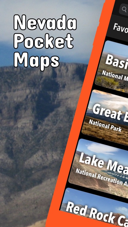
Nevada Pocket Maps
by Alex Gugel
What is it about?
Be prepared! Plan your next trip to one of the great Nevada parks. Download maps and guides before you venture into the WiFi free wilderness.
App Screenshots

App Store Description
Be prepared! Plan your next trip to one of the great Nevada parks. Download maps and guides before you venture into the WiFi free wilderness.
Discover
- 70+ national parks, state parks, monuments, forests
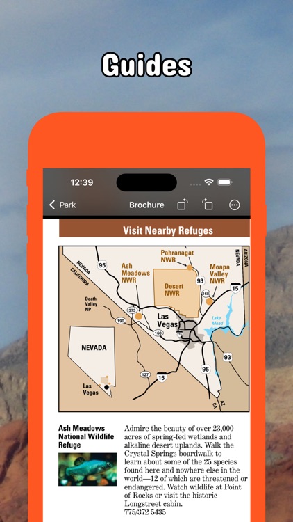
- 200+ neatly folded maps by the National Park Service, Bureau of Land Management, United States Forest Services, and other agencies.
- Motor Vehicle Use Maps (MVUM), Motor Vehicle Travel Maps (MVTM) and visitor maps for Nevada national forests.
- Off-Highway Vehicle (OHV) maps.
- 500+ campgrounds and campsites
- 900+ trails and trailheads
- 31,000+ points of interests
Plan
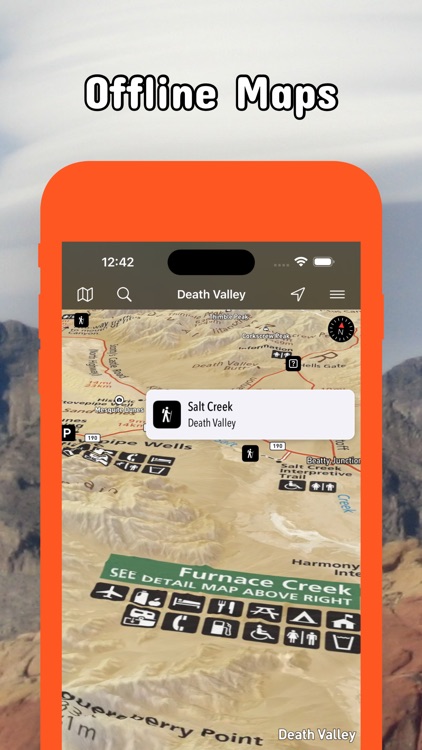
- Download maps, park brochures, and newspapers. These downloads are ready when you are offline and off the grid in the great outdoors.
- Download arbitrary map sections as offline packs.
- Photo galleries, panorama views.
- Share links to parks and maps with friends
Have fun
- GPS and GPX support: record your hikes, import GPX routes, tracks and waypoints for your hiking trails.
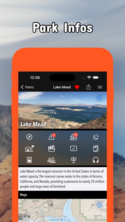
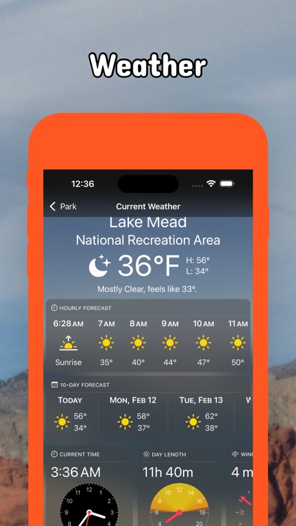
- Detailed national park information: alerts, news, visitor centers, campgrounds, driving directions, weather.
- Open your favorite maps app to get a route to the selected park.
- Current weather conditions, easy access to multi-day forecasts, sunrise and sunset times.
- Push notifications for park alerts, park news, weather warnings
So download maps and guides for:
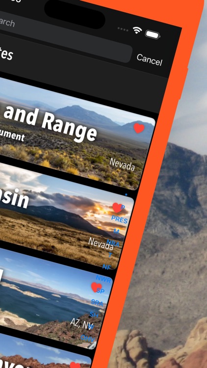
Basin and Range
Beaver Dam
Berlin-Ichthyosaur
Big Bend of the Colorado
Black Rock Desert - High Rock Canyon Emigrant Trails
Cathedral Gorge
Cave Lake
Death Valley
Desert
Dry Valley
Gold Butte
Great Basin
Humboldt-Toiyabe
Inyo
Kershaw-Ryan
Lake Mead
Lake Tahoe
Red Rock Canyon
Rye Patch
Sheldon
Sloan Canyon
South Fork
Spooner Lake & Backcountry
Spring Mountain Ranch
Spring Mountains
Valley of Fire
Ward Charcoal Ovens
Washoe Lake
Wild Horse
There are additional useful information and brochures for:
Anaho Island, Arrow Canyon, Eldorado, Ireteba Peaks, Jumbo Springs, La Madre Mountain, Lime Canyon, Million Hills, Mount Charleston, Mount Stirling, Muddy Mountains, North McCullough, Rainbow Mountain, Resting Springs, South McCullough, Spirit Mountain, Stillwater, Wee Thump Joshua Tree.
LEGAL
Terms of Use: https://icoat.de/pocketmaps/terms
Privacy Policy: https://icoat.de/pocketmaps/privacy
Disclaimer:
AppAdvice does not own this application and only provides images and links contained in the iTunes Search API, to help our users find the best apps to download. If you are the developer of this app and would like your information removed, please send a request to takedown@appadvice.com and your information will be removed.
AppAdvice does not own this application and only provides images and links contained in the iTunes Search API, to help our users find the best apps to download. If you are the developer of this app and would like your information removed, please send a request to takedown@appadvice.com and your information will be removed.