You are using an outdated browser. Please
upgrade your browser to improve your experience.

New Orleans' own public transportation app, now with real-time bus and streetcar locations

NOLA Transit: realtime data and directions for New Orleans public transit system
by Joel Carranza
What is it about?
New Orleans' own public transportation app, now with real-time bus and streetcar locations. Updated for carnival season 2015 - let the good times roll by knowing when your next ride is going to arrive. See realtime bus and streetcar locations on the map and get step-by-step directions for traveling anywhere in the Big Easy. Interactive maps use GPS to show you just the information you need. Includes complete timetable information for the New Orleans RTA, no wireless coverage required. Ditch your paper schedules and go mobile with NOLA Transit!
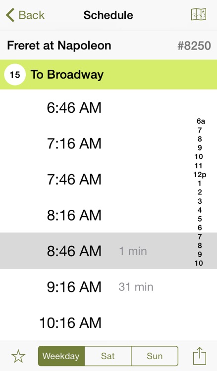
App Screenshots
App Store Description
New Orleans' own public transportation app, now with real-time bus and streetcar locations. Updated for carnival season 2015 - let the good times roll by knowing when your next ride is going to arrive. See realtime bus and streetcar locations on the map and get step-by-step directions for traveling anywhere in the Big Easy. Interactive maps use GPS to show you just the information you need. Includes complete timetable information for the New Orleans RTA, no wireless coverage required. Ditch your paper schedules and go mobile with NOLA Transit!
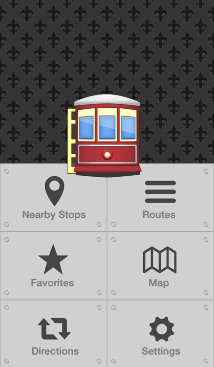
Features:
- Realtime bus and streetcar locations
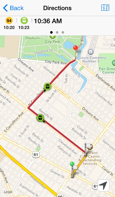
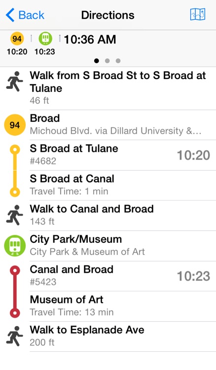
- Step-by-step interactive directions with multiple route chocies
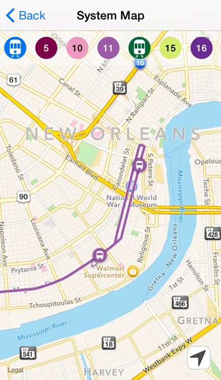
- Comprehensive system map
- Fast display of nearby stops using GPS
- Add Favorites for easy access to commonly used stops
- Timetable information for all stops and routes
Requirements:
Requires iOS7
Disclaimer:
AppAdvice does not own this application and only provides images and links contained in the iTunes Search API, to help our users find the best apps to download. If you are the developer of this app and would like your information removed, please send a request to takedown@appadvice.com and your information will be removed.
AppAdvice does not own this application and only provides images and links contained in the iTunes Search API, to help our users find the best apps to download. If you are the developer of this app and would like your information removed, please send a request to takedown@appadvice.com and your information will be removed.