You are using an outdated browser. Please
upgrade your browser to improve your experience.
The CTUC OHV Trail Map California app provides in-app access to the entire line of OHV maps from the California Trail Users Coalition

OHV Trail Map California
by Friends of Jawbone
What is it about?
The CTUC OHV Trail Map California app provides in-app access to the entire line of OHV maps from the California Trail Users Coalition.
App Screenshots
App Store Description
The CTUC OHV Trail Map California app provides in-app access to the entire line of OHV maps from the California Trail Users Coalition.
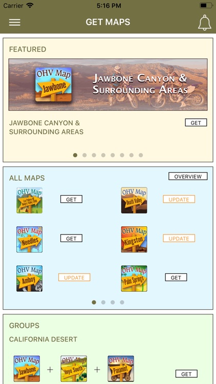
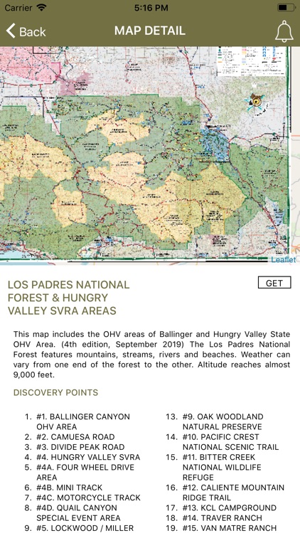
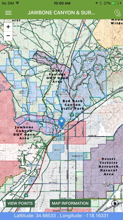
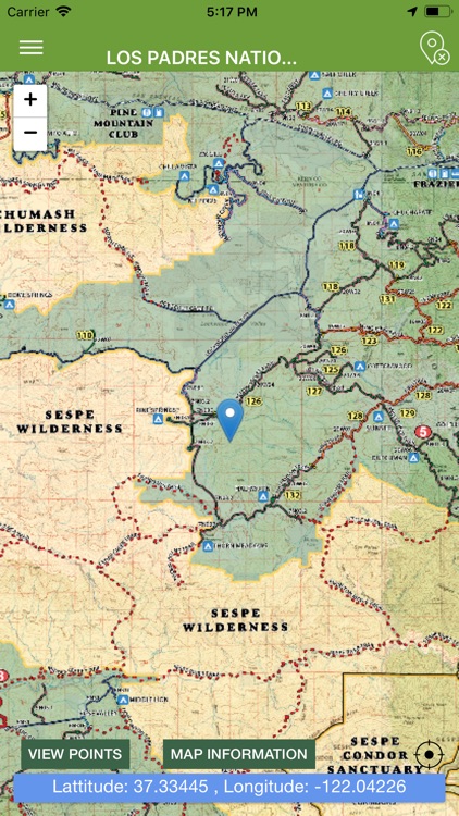
View the map in several zoom levels and navigate to popular destinations throughout California. The map covers 85 million acres of world-class OHV recreation lands from the sand dunes in the desert to the forests in the mountains, from the Colorado River to the Pacific Ocean. Depicted on the map are thousands of miles of legal, designated OHV roads and trails, as well as OHV Open Areas, wilderness areas, State Parks, military bases, and other public and private lands.
The map features backcountry motor vehicle routes designated by the BLM, USFS, NPS and other land management agencies.
Featured within the app are:
√ Street level background layer can be turned on or off
√ Zoom and scroll across the map
√ Find your location (iPhones and cellular iPads only)
√ Track your movement across the map (iPhones and cellular iPads only)
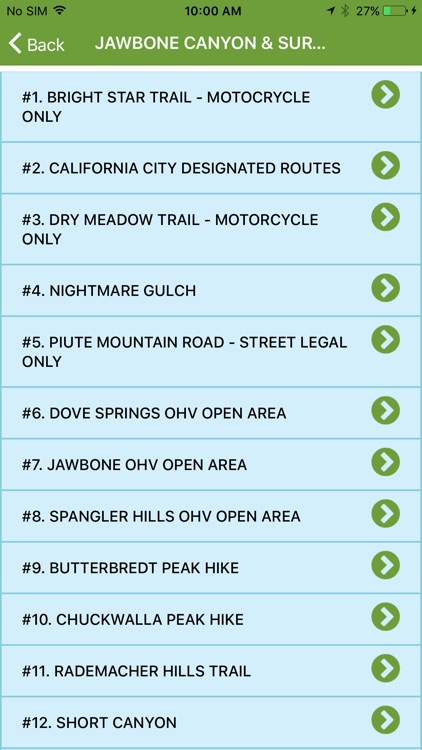
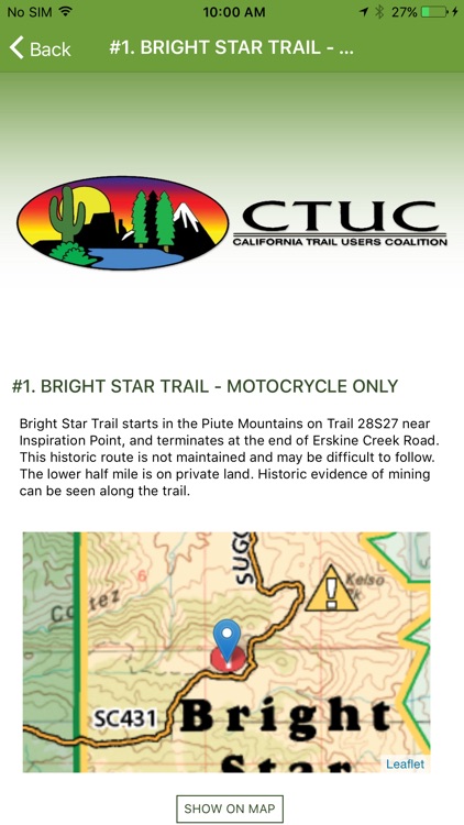
√ Find and navigate to hundreds of back country destinations and points of interests
√ Obtain emergency and other contacts
√ Find local services such as fuel, lodging and food
√ Learn area OHV rules, regulations, and safety tips
√ Legend of symbols on the map
Disclaimer:
AppAdvice does not own this application and only provides images and links contained in the iTunes Search API, to help our users find the best apps to download. If you are the developer of this app and would like your information removed, please send a request to takedown@appadvice.com and your information will be removed.
AppAdvice does not own this application and only provides images and links contained in the iTunes Search API, to help our users find the best apps to download. If you are the developer of this app and would like your information removed, please send a request to takedown@appadvice.com and your information will be removed.