You are using an outdated browser. Please
upgrade your browser to improve your experience.
OkMap Mobile Lite is the limited version of OkMap Mobile an offroad GPS navigator for your outdoor activities

OkMap Mobile Lite
by Gian Paolo Saliola
What is it about?
OkMap Mobile Lite is the limited version of OkMap Mobile an offroad GPS navigator for your outdoor activities.
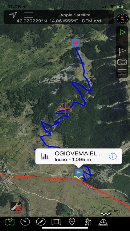
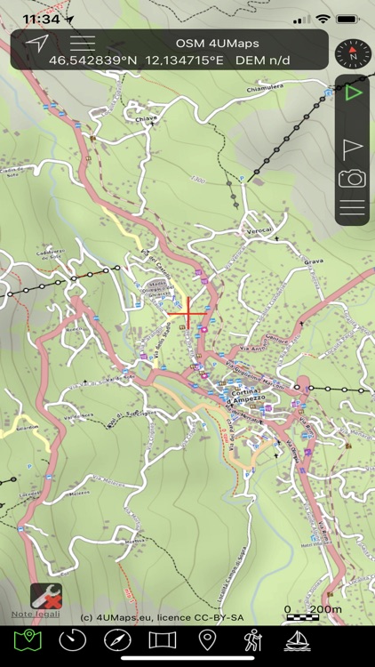
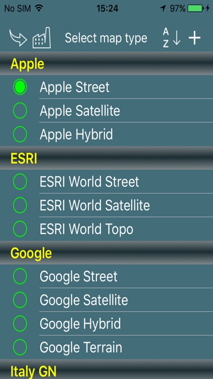
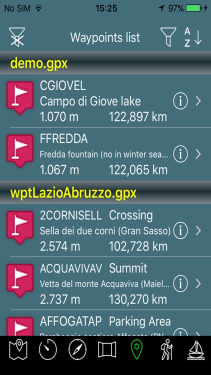
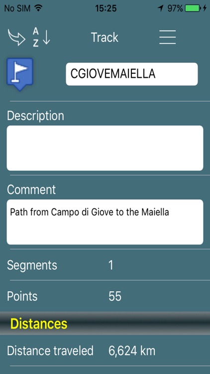
App Screenshots

App Store Description
OkMap Mobile Lite is the limited version of OkMap Mobile an offroad GPS navigator for your outdoor activities.
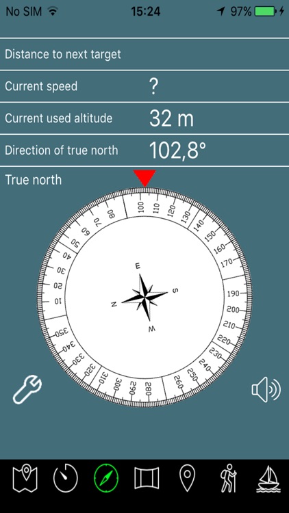
Draw your path on the map! A compass will show you the direction to follow along the path.
OkMap Mobile is easy to use and its capabilities are similar to those of the best known handhelds GPS.
It's specially designed for those who make outdoor activities such as search and rescue, trekking, mountain bike, off road, boating, flying, hunting and fishing, finding mushrooms, geocaching, soft air and many others.
OkMap works with different online maps.
Moreover OkMap works with GPX files, the standard format to store waypoints, tracks and routes.
These files (GPX) can be copied from and to your PC through Apple iTunes or iCloud.
You can record your track while walking on a path and follow a track previously recorded or copied from your PC.
All waypoints, tracks and routes are shown on the map; recording track is drawn in real time.
OkMap records tracks in standby also.
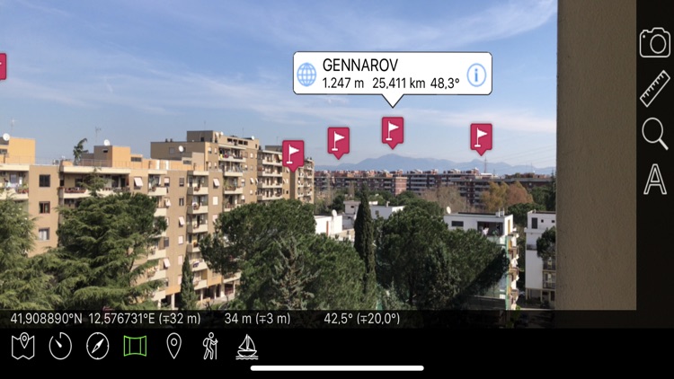
The augmented reality feature lets you view your waypoints in the photographic camera overlapped to the panorama.
You can create waypoints on the map and create tracks using autorouting functions.
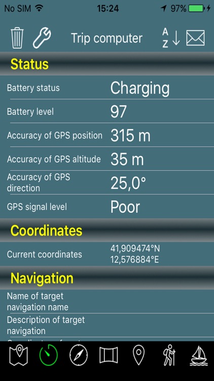
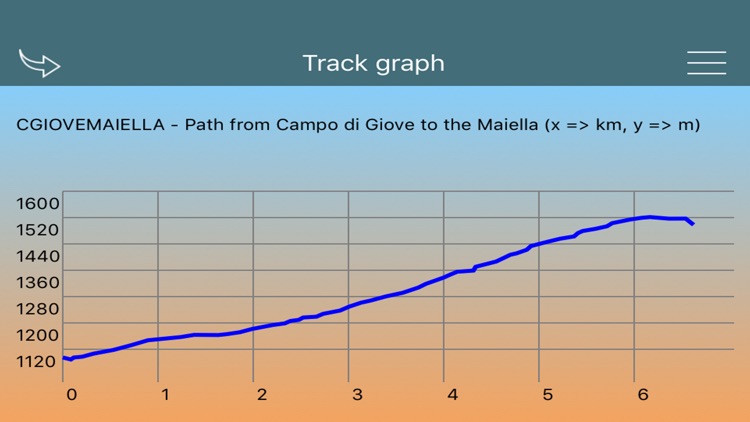
You can also produce different types of statistics and graphs on your tracks.
Continued use of GPS running in the background can dramatically decrease battery life.
Icons by Icons8.com.
In Lite version the following features aren’t available:
- Managing of custom maps in KMZ format
- Adding of TMS/WMS custom maps
- Recording of tracks and sending the position to a remote server
- Managing of STRM altimetric data
- Augmented reality feature is limited to 5 waypoints
- Managing of iCloud
Disclaimer:
AppAdvice does not own this application and only provides images and links contained in the iTunes Search API, to help our users find the best apps to download. If you are the developer of this app and would like your information removed, please send a request to takedown@appadvice.com and your information will be removed.
AppAdvice does not own this application and only provides images and links contained in the iTunes Search API, to help our users find the best apps to download. If you are the developer of this app and would like your information removed, please send a request to takedown@appadvice.com and your information will be removed.