You are using an outdated browser. Please
upgrade your browser to improve your experience.

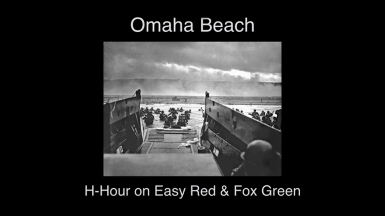
Omaha Beach reconstructs the early part of D-Day on Easy Red and Fox Green beaches (positioned just north and east of today’s Normandy American Cementary and Memorial)

Omaha Beach
by CodeGrind AB
What is it about?
Omaha Beach reconstructs the early part of D-Day on Easy Red and Fox Green beaches (positioned just north and east of today’s Normandy American Cementary and Memorial).
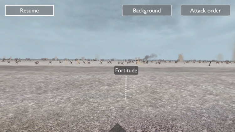
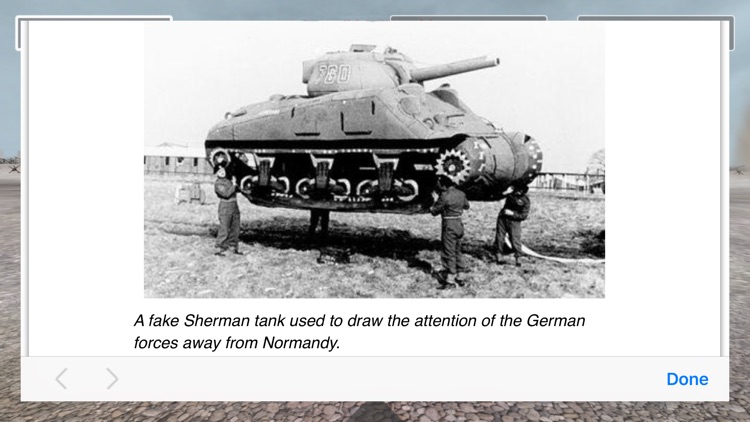
App Screenshots
App Store Description
Omaha Beach reconstructs the early part of D-Day on Easy Red and Fox Green beaches (positioned just north and east of today’s Normandy American Cementary and Memorial).
It is strongly adviced to start the app at the parking lot next to the beach just below the German WW II strong point WN 62.
The Omaha Beach app reconstructs the events that took place here just before and after H–Hour (06:30 AM) in the morning of June 6 1944.
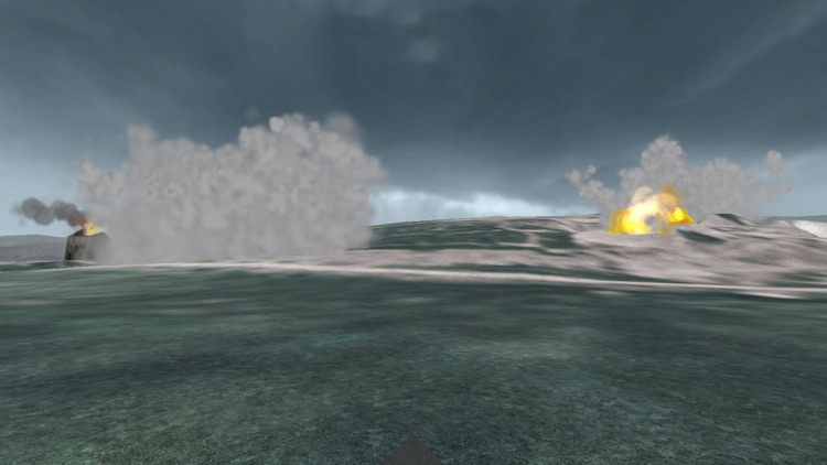
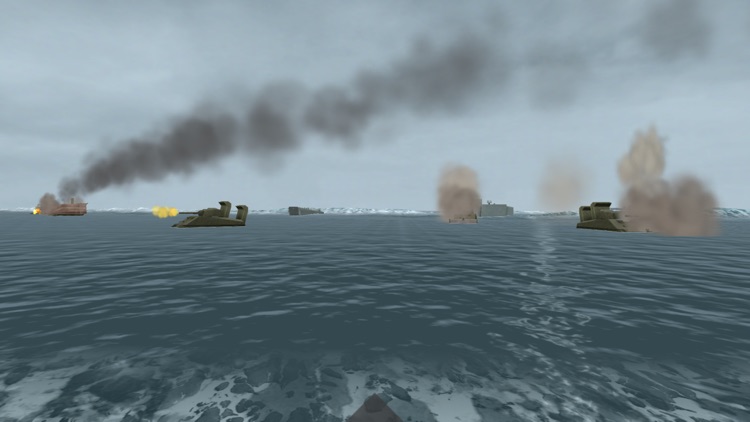
Move around on the beach and the tidal flat in this area and experience the naval bombardment, the bombing and the rocket launch before the amphibious assault begins. See how the LCTs (Landing Craft Tank) disembarks three Sherman tanks each at the water’s edge more then 300 m from the high water mark. Observe also how the many LCVPs (Landing Craft Vehicle Personnel) delivers the infantry in the surf while under heavy German artillery, mortar and small arms fire.
The reconstruction is as far as possible built on the rich documentation of this major event in World War II. The current version is an experiment in mobile augmented reality storytelling. Future updates will include the succeeding phases of the battle.
NB! The Omaha Beach app is location–based and works only when you are physically on location. Exit D514 (Route d’Omaha Beach) at Colleville-sur-Mer and drive to the parking lot below WN 62 (Widerstandsnest 62). There you can launch the app and explore the beach and the dramatic events that took place here more than seven decades ago.
Note also that since 1944 there has been very strong erosion on this part of Omaha Beach. The high water mark is now more that 25 m inland from what was the case during WW II.
Disclaimer:
AppAdvice does not own this application and only provides images and links contained in the iTunes Search API, to help our users find the best apps to download. If you are the developer of this app and would like your information removed, please send a request to takedown@appadvice.com and your information will be removed.
AppAdvice does not own this application and only provides images and links contained in the iTunes Search API, to help our users find the best apps to download. If you are the developer of this app and would like your information removed, please send a request to takedown@appadvice.com and your information will be removed.