You are using an outdated browser. Please
upgrade your browser to improve your experience.

• An easy to use Off Road App with a detailed Australia wide topographical map • Works completely offline • NO data roaming charges • One seamless map covering all of Australia, to 1:10K scale with 10m Contours

OZtopo | Offline Maps for 4WDing and Bushwalking
by BKK Enterprises Pty Ltd


What is it about?
• An easy to use Off Road App with a detailed Australia wide topographical map • Works completely offline • NO data roaming charges • One seamless map covering all of Australia, to 1:10K scale with 10m Contours!
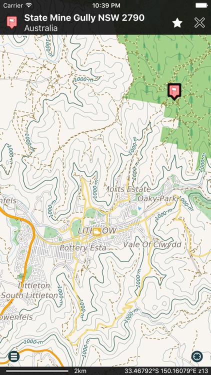
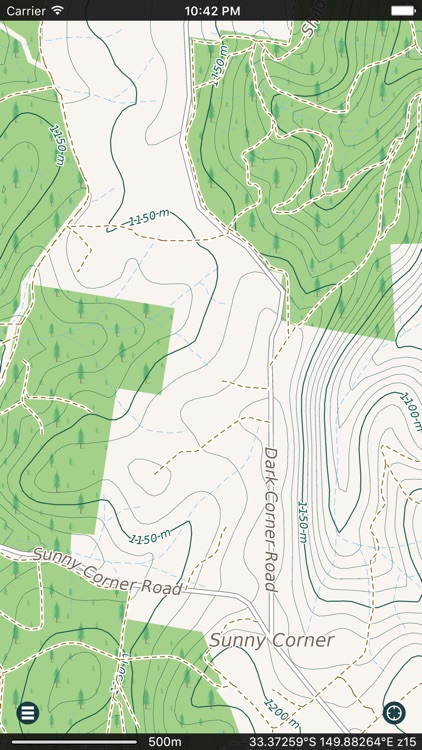
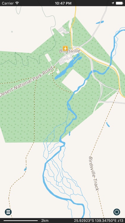
App Screenshots
App Store Description
• An easy to use Off Road App with a detailed Australia wide topographical map • Works completely offline • NO data roaming charges • One seamless map covering all of Australia, to 1:10K scale with 10m Contours!
• Beautiful Retina quality map at a fraction of the size! The fastest and most detailed offline map of Australia
• No additional maps to purchase, it’s all included!
• No map changing, no map layers, just one easy to use seamless map.
• Access your map offline anywhere in Australia - saves on data roaming costs!
• Personalise the map to show the info you want!
• Customisable Pins (waypoints) and favourites groups! Add notes and mark and share your favourite spots!
• GPS track recording lets you see what route you took! Great for hikes, cycling and off road! Never get lost again!
• Import/Export support for GPX and CSV files! Share with friends using Email, iTunes or simple data sharing.
• Displays and lets you search for map coordinates (including DD, DDM, DMS, MGRS, Grid References and more).
• Numerous GPS settings for your preferred configuration including compass and heading arrow or rotation, look ahead mode, accuracy and recording settings.
• Navigation Dashboard displays current speed, altitude, direction of travel, distance to go, current position, etc.
• Easy to use two finger distance measuring tool.
• Help manual built in.
• Map data supplied by Map Data Services, GeoScience Australia.
...and much more - so try it out!
Don’t forget this:
Note: Continued use of GPS running in the background can dramatically decrease battery life.
*If you have a Wi-Fi only iPad an external GPS receiver must be used to track your location.
Disclaimer:
AppAdvice does not own this application and only provides images and links contained in the iTunes Search API, to help our users find the best apps to download. If you are the developer of this app and would like your information removed, please send a request to takedown@appadvice.com and your information will be removed.
AppAdvice does not own this application and only provides images and links contained in the iTunes Search API, to help our users find the best apps to download. If you are the developer of this app and would like your information removed, please send a request to takedown@appadvice.com and your information will be removed.