You are using an outdated browser. Please
upgrade your browser to improve your experience.
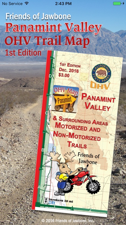
The FOJ Panamint Valley OHV Trail Map App brings the new 1st Edition FOJ Panamint Valley OHV Trail Map to your iPhone, iPad or iPod Touch

Panamint Map App
by Friends of Jawbone
What is it about?
The FOJ Panamint Valley OHV Trail Map App brings the new 1st Edition FOJ Panamint Valley OHV Trail Map to your iPhone, iPad or iPod Touch.
App Screenshots
App Store Description
The FOJ Panamint Valley OHV Trail Map App brings the new 1st Edition FOJ Panamint Valley OHV Trail Map to your iPhone, iPad or iPod Touch.
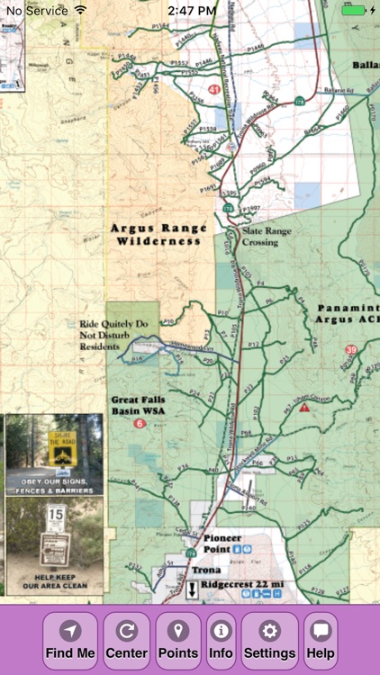
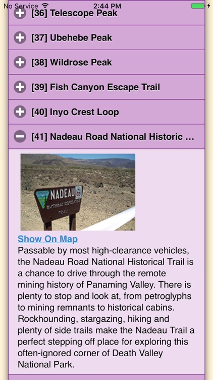
View the map in several zoom levels and navigate to your favorite Panamint Valley destinations. Such destinations include: Ballarat, a city named after the first and only gold rush town in Australia, Leadfield Ghost Town, an abandoned lead and copper claim that lays decrepit and unused, along with many more destinations. Depicted on the maps are hundreds of miles of legal, designated OHV roads and trails, as well as wilderness areas, Death Valley National Park, military bases, and other public and private lands.
The maps features OHV routes managed by the Bureau of Land Management’s Ridgecrest Field Office, Death Valley National Park, and Eastern Sierra Interagency Visitor Center.
Featured within the app are:
√ OpenStreetMap background layer can be turned on or off
√ Zoom and scroll across the map
√ Find your location (iPhones and cellular iPads only)
√ Track your movement across the map (iPhones and cellular iPads only)
√ Find and navigate to 43 back country destinations and points of interests
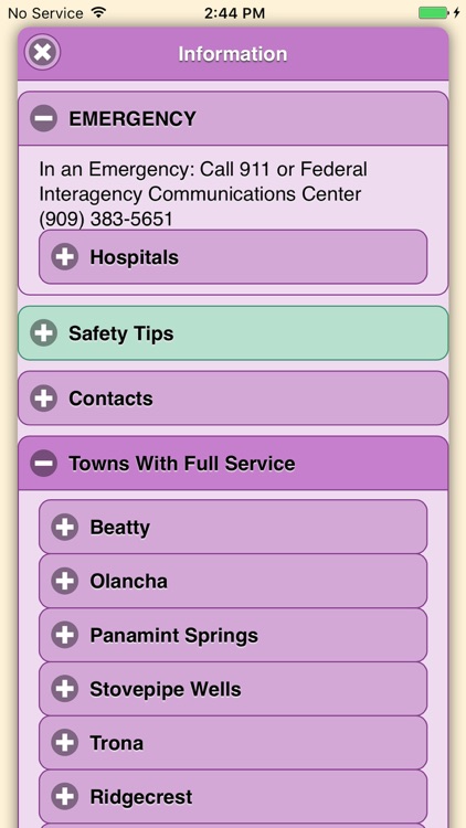
√ Obtain emergency and other contacts
√ Find local services such as fuel, lodging and food
√ Learn area OHV rules, regulations, and safety tips
√ Legend of symbols on the map
Disclaimer:
AppAdvice does not own this application and only provides images and links contained in the iTunes Search API, to help our users find the best apps to download. If you are the developer of this app and would like your information removed, please send a request to takedown@appadvice.com and your information will be removed.
AppAdvice does not own this application and only provides images and links contained in the iTunes Search API, to help our users find the best apps to download. If you are the developer of this app and would like your information removed, please send a request to takedown@appadvice.com and your information will be removed.