You are using an outdated browser. Please
upgrade your browser to improve your experience.
YOU CAN NOW EASILY FIND YOUR WAY ROUND LA DÉFENSE AND FOLLOW THE BEST ITINERARY

Paris La Défense City Map
by Defacto, Etablissement Public de Gestion du quartier d’affaires de La Défense


What is it about?
YOU CAN NOW EASILY FIND YOUR WAY ROUND LA DÉFENSE AND FOLLOW THE BEST ITINERARY
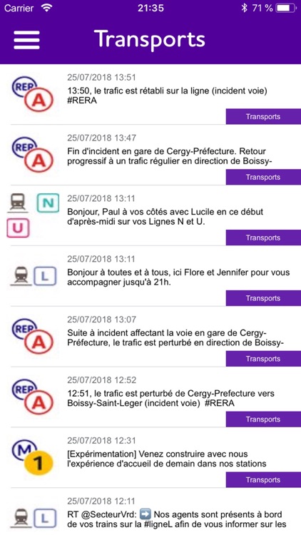
App Screenshots
App Store Description
YOU CAN NOW EASILY FIND YOUR WAY ROUND LA DÉFENSE AND FOLLOW THE BEST ITINERARY
La Défense City Map simplifies your visit of the business district of La Défense. It integrates geolocation and all the existing pedestrian itineraries that take you to the various towers, transport stations (metro, RER…) and car parks of La Défense.
SIMPLIFY YOUR TRIP TO PARIS LA DEFENSE
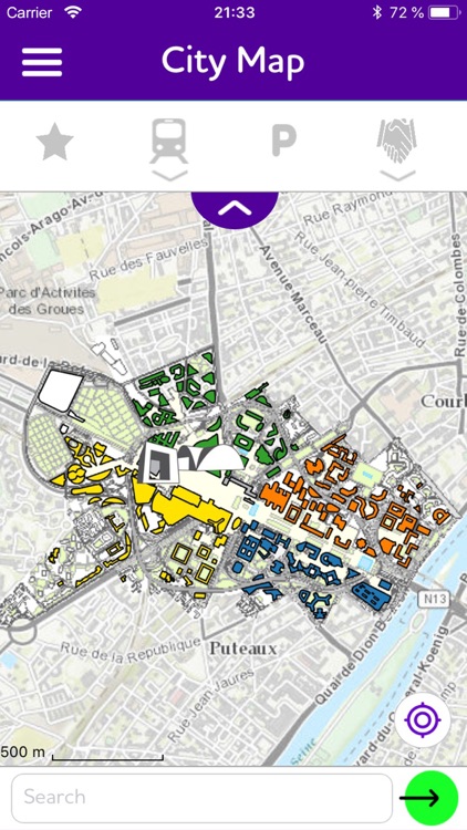
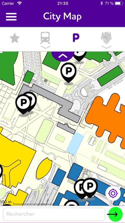
A professional meeting or a tourist trip to organise, La Défense City Map has a detailed map of the business district and all the necessary information to help you plan your route. You can search for and display all the office blocks, public spaces (parks, gardens, squares…), access to transport and car parks of La Défense.
To facilitate your search, you can visualise the main points of interest of La Défense on the map:
- Office blocks
- Car parks
- Services: hotels, pharmacies, police station…
IMPROVED GEOLOCATION
You’ve just arrived on the Parvis and you need help? Remember to activate the geolocation in the app. You can benefit from improved geolocation on all outdoor spaces at La Défense thanks to Bluetooth Low Energy technology. So before you use the geolocation function, remember to activate the Bluetooth and GPS on your phone.
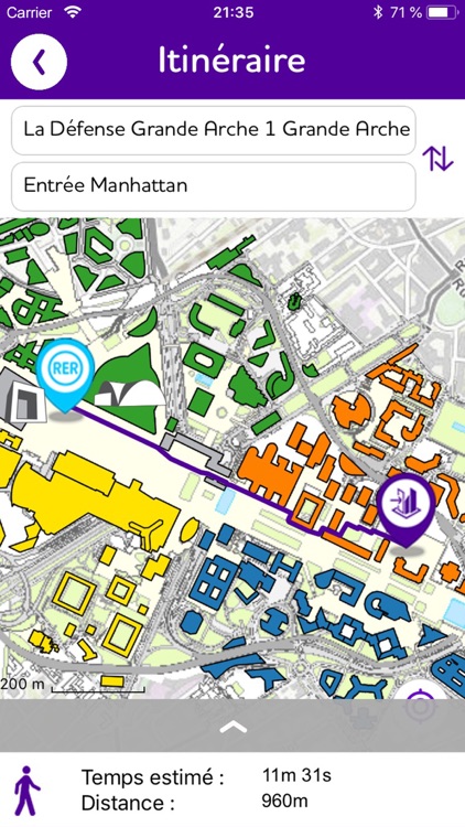
PEDESTRIAN ITINERARIES
Thanks to the itinerary planning function of the app, you can estimate what the best possible route is according to where you are in the outdoor spaces at La Défense. Activate the geolocation, select your position as a starting point and specify your destination.
For a step by step, activate the navigation mode.
KEEP YOURSELF UP-TO-DATE
Information issued on the ladefense.fr website (news, animation…) are available in the News section of the app. You’ll also find information from the RER 1 and the Metro Line 1 feeds for public transport users.
YOUR PRIVATE LIFE IS PROTECTED
The City Map app respects the user’s private life. It use is anonymous and Defacto has no access to the geolocation data on the user’s phone.
Disclaimer:
AppAdvice does not own this application and only provides images and links contained in the iTunes Search API, to help our users find the best apps to download. If you are the developer of this app and would like your information removed, please send a request to takedown@appadvice.com and your information will be removed.
AppAdvice does not own this application and only provides images and links contained in the iTunes Search API, to help our users find the best apps to download. If you are the developer of this app and would like your information removed, please send a request to takedown@appadvice.com and your information will be removed.