You are using an outdated browser. Please
upgrade your browser to improve your experience.

Get around Paris using the public transport system

Paris Metro Map.
by Georgi Zlatinov
What is it about?
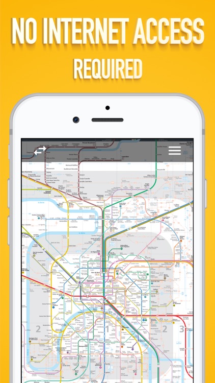
Get around Paris using the public transport system. Visit all the places and sights you have planned to. The app can work offline as well.
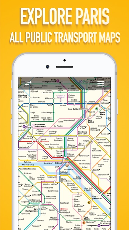
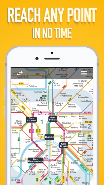
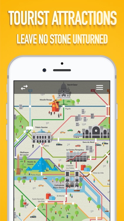
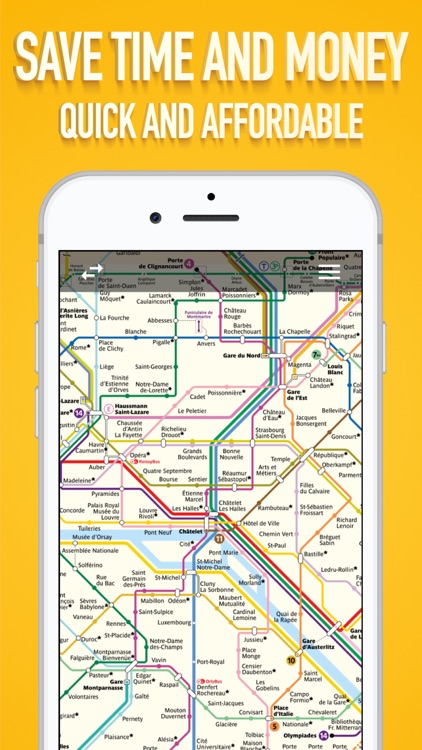
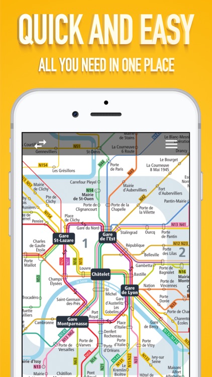
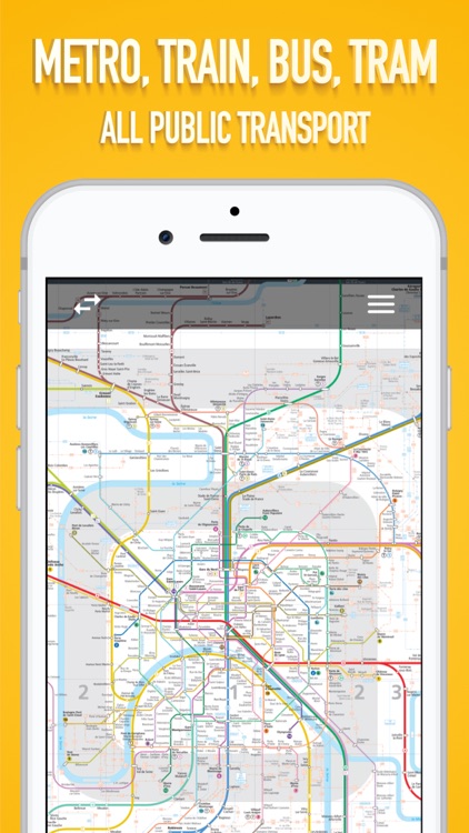
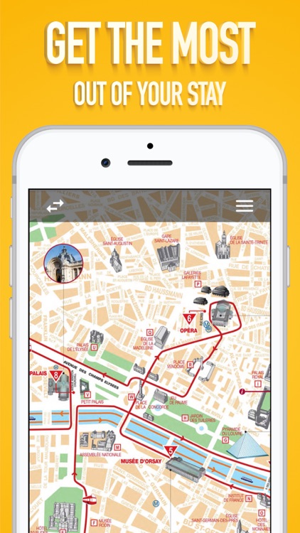
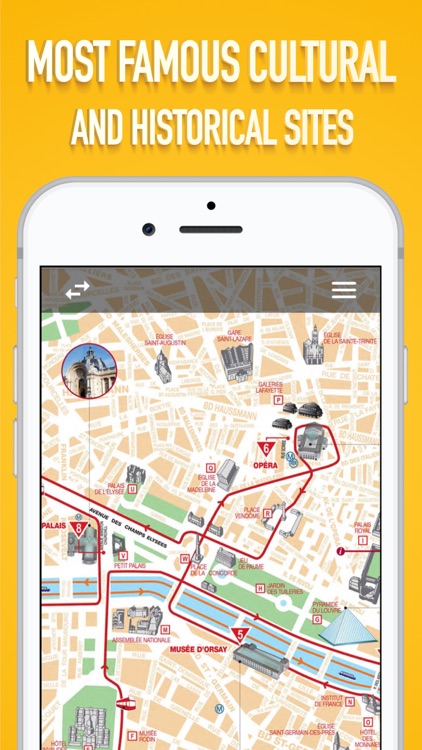
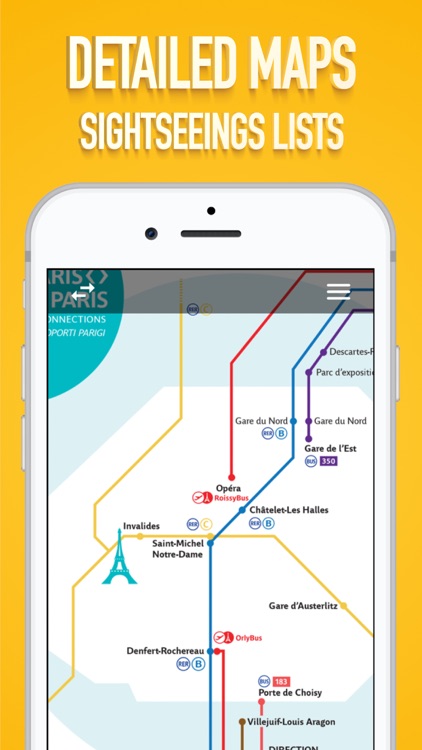
App Screenshots
App Store Description
Get around Paris using the public transport system. Visit all the places and sights you have planned to. The app can work offline as well.
It is a great alternative to the paper maps. Easy to use and has a very clean interface. It includes the following maps:
- Paris Public Transport Lines
- Metro Lines
- Bus Lines
- Airport Connections
- Sightseeings maps
M, RER, T, Noctilien and BUS.
We are constantly trying our best to update to the latest available maps and keep the app simple and easy to use.
Disclaimer:
AppAdvice does not own this application and only provides images and links contained in the iTunes Search API, to help our users find the best apps to download. If you are the developer of this app and would like your information removed, please send a request to takedown@appadvice.com and your information will be removed.
AppAdvice does not own this application and only provides images and links contained in the iTunes Search API, to help our users find the best apps to download. If you are the developer of this app and would like your information removed, please send a request to takedown@appadvice.com and your information will be removed.