You are using an outdated browser. Please
upgrade your browser to improve your experience.
Assist your local land managers in maintaining and improving recreation areas

picmap
by Kaart Group, LLC
What is it about?
Assist your local land managers in maintaining and improving recreation areas. By being the eyes and camera, you can crowd-source information and return that data to various organizations so they can more efficiently plan, maintain and build infrastructure for us all to enjoy outside. picmap provides land planners and managers with the information they need while we are outside enjoying our favorite activities. Through our partnerships, we provide the information they are needing to make informed decisions on our behalf.
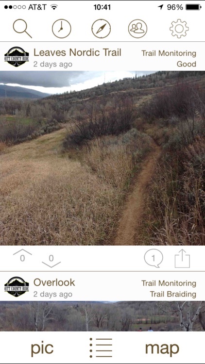
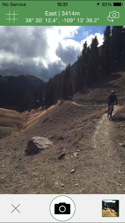
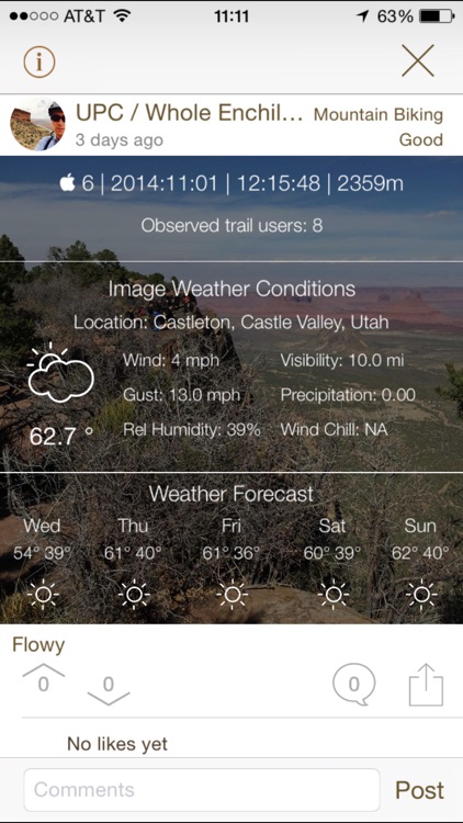
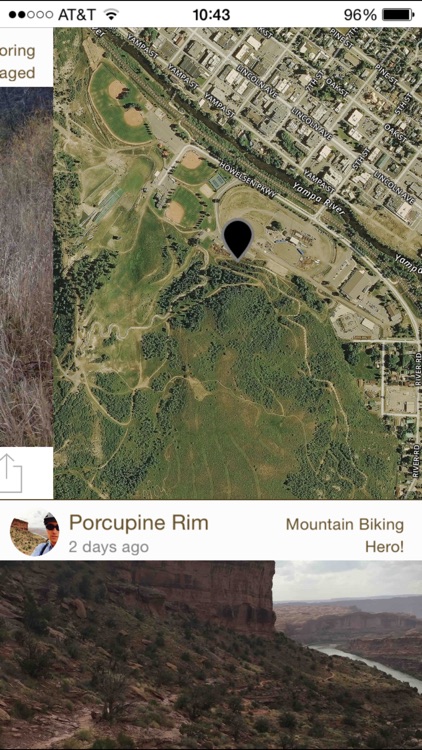
App Screenshots

App Store Description
Assist your local land managers in maintaining and improving recreation areas. By being the eyes and camera, you can crowd-source information and return that data to various organizations so they can more efficiently plan, maintain and build infrastructure for us all to enjoy outside. picmap provides land planners and managers with the information they need while we are outside enjoying our favorite activities. Through our partnerships, we provide the information they are needing to make informed decisions on our behalf.
picmap allows you to help others see and judge for themselves how things are at an exact location. Because it's based on photos, there's no need to wonder if the description is accurate. Now you can see how muddy the trails are before you ride them, what the river flow is like in specific sections, report broken infrastructure so it can be fixed, and more.
Features:
- Simple design to allow you to report a condition and get back to your activity
- Date, time stamp and descriptions on pics to give you accurate reference of conditions
- Weather at the time and location of pic as well as 5 day forecast for activity planning
- Color coded pic pins for easy identification of categories (Mountain Biking, Rafting, Climbing, Skiing and more!)
- Camera roll upload option in case you forget to pixmap during while there
- Gorgeous map screens
We are actively developing picmap and would love to hear your feedback. Please let us know what features you'd like to use to further improve our recreation opportunities.
Disclaimer:
AppAdvice does not own this application and only provides images and links contained in the iTunes Search API, to help our users find the best apps to download. If you are the developer of this app and would like your information removed, please send a request to takedown@appadvice.com and your information will be removed.
AppAdvice does not own this application and only provides images and links contained in the iTunes Search API, to help our users find the best apps to download. If you are the developer of this app and would like your information removed, please send a request to takedown@appadvice.com and your information will be removed.