You are using an outdated browser. Please
upgrade your browser to improve your experience.

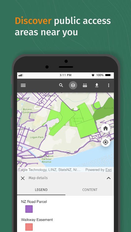
Pocket Maps - a mobile app containing public access areas across Aotearoa New Zealand

Pocket Maps
by New Zealand Walking Access Commission
What is it about?
Pocket Maps - a mobile app containing public access areas across Aotearoa New Zealand. The maps are split into regions and available to be downloaded for offline use. This app is NOT a substitute for a GPS unit and should be used in conjunction with one if going outdoors.
App Store Description
Pocket Maps - a mobile app containing public access areas across Aotearoa New Zealand. The maps are split into regions and available to be downloaded for offline use. This app is NOT a substitute for a GPS unit and should be used in conjunction with one if going outdoors.
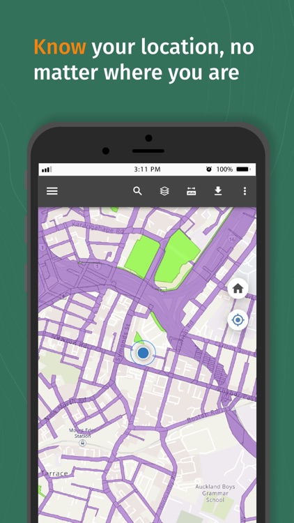
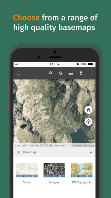
App features include:
• GPS positioning
• Draw and measure routes
• Public access area viewings
• Offline capability
The public access layer contains:
• NZ road parcels
• Reserve land
• Walkway easement
• Esplanade Strip
• Esplanade Reserve
• Easements
• DOC public conservation land
Disclaimer:
AppAdvice does not own this application and only provides images and links contained in the iTunes Search API, to help our users find the best apps to download. If you are the developer of this app and would like your information removed, please send a request to takedown@appadvice.com and your information will be removed.
AppAdvice does not own this application and only provides images and links contained in the iTunes Search API, to help our users find the best apps to download. If you are the developer of this app and would like your information removed, please send a request to takedown@appadvice.com and your information will be removed.