You are using an outdated browser. Please
upgrade your browser to improve your experience.


Pyrenees National Park - GPS Map Navigator
by Flytomap
What is it about?
!! TRY before BUY !!!
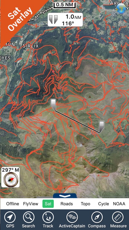
App Screenshots
App Store Description
!! TRY before BUY !!!
Try now the new FlyToMap web viewer to see all available maps worldwide !!! Visit viewer.flytomap.com
■ “Download any FlytoMap application for Free! By purchasing FlytoMap All-in-One App.”
■ !! Watch "FlyToMap GPS" app video on www.appreview.com and www.youtube.com !!
► The unique application on App Store with this cutting edge technology.
--------------------------------------------------------------------------------------------------------------------------
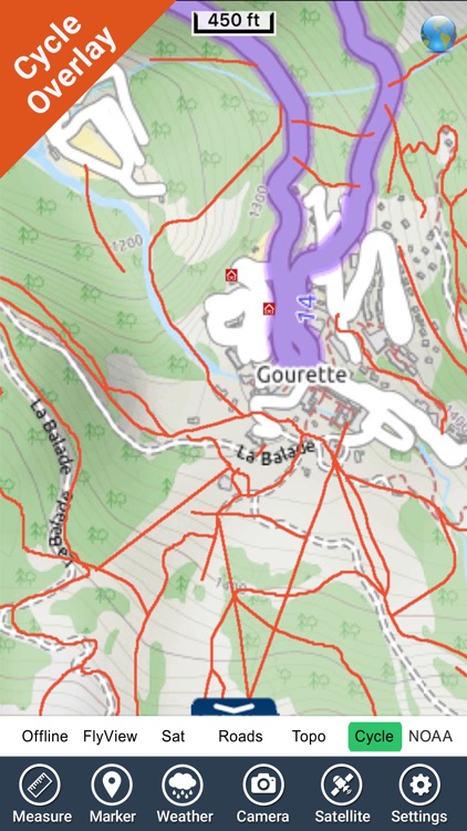
- PARK MAPS:
Park maps are extremely advanced embedded electronic charts with all information collected from the National/State Park and Forest Services and many other local sources. The maps contain all trails (Hiking, Biking, Equestrian trails etc.,) and Points of interests (POI) like Campgrounds, Visitor Centers, Lookout points, Eating places, Ranger Stations, Picnic areas, Boat/Canoe ramps, Parking areas etc. and much more:
“all Trails, Lakes and Rivers within the Parks”
“Park boundary”
“Elevation Contours with 10 meters step” (only "Topo" version)
“Mountain Peaks”
“All Roads and Railways”
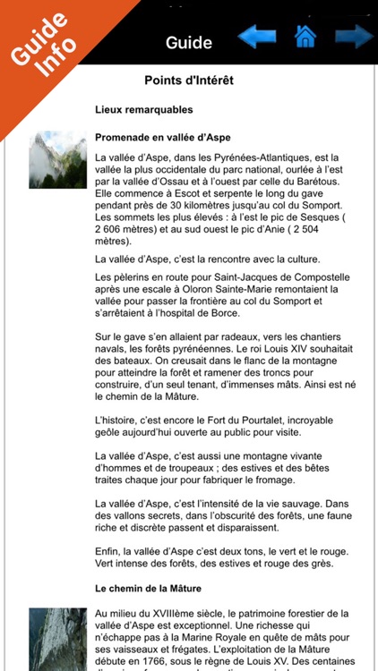
...and full Travel Guide with photos, maps, history, not to miss places.....
--------------------------------------------------------------------------------------------------------------------------
How to use:
“Zoom and Pan fast just by a finger touch”
“Use Latitudes and Longitudes to go to your favorite places”
"Record your GPS Track"
“Detailed touristic guide at your finger's disposal”
“Navigate and see your GPS position on the map”
“Geo-Tagged photo management”
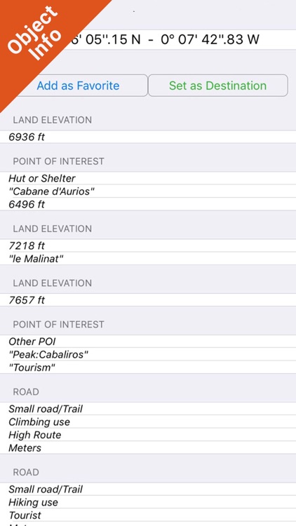
“Insert the target/destination ‘Waypoint’ and see in real time your speed, distance and direction to destination”
“Insert Unlimited Markers near favorite places on the map”
“Search your Favorite points or any location by name”
“Set On/Off Elevation Contours if you feel data is cluttering”
- WATER MAPS (Marine):
The new ‘iPhone Marine Navigator’: it contains embedded Electronic Nautical Charts (ENC) from NOAA and Corps of Engineers compressed to store the largest coverage. You can transform your iPhone in a chart plotter with best NOAA-USACE, ENC S57 cartography; which includes Coastline, Anchoring areas, Fishing areas, Restriction areas, Obstructions, Rocks, Buoys, Beacons, Lights, Depth contours (with values displayed in real time on map), Spot Soundings and more. Every effort is made to be as accurate as possible when presenting information for every sea area.
- LAKE MAPS:
High quality lake maps with detailed information and important features compressed to assure the larger coverage. Lake maps contain the most important lakes with detailed Depth Contours, Boat Ramps, Fishing spots etc. Maps also include Trails, Roads and Railways information.
- TRAVEL MAPS:
These Maps cover most interesting touristic areas combining Sea and Land information to allow you a complete travel experience. These are the best Maps to travel on fascinating voyages; map focus on the best Beach spots along the Coastline, Major ports, Sailing, Fishing, Picnic areas, Parks, Hiking, Biking, Clubs, Restaurants, Famous Hotels, Museums, Shopping areas, and much more.
A Travel Guide with photos, maps, history, not to miss places..... is included.
Note:
"Continued use of GPS running in the background can dramatically decrease battery life."
"Turn off GPS when not in use"
Disclaimer:
AppAdvice does not own this application and only provides images and links contained in the iTunes Search API, to help our users find the best apps to download. If you are the developer of this app and would like your information removed, please send a request to takedown@appadvice.com and your information will be removed.
AppAdvice does not own this application and only provides images and links contained in the iTunes Search API, to help our users find the best apps to download. If you are the developer of this app and would like your information removed, please send a request to takedown@appadvice.com and your information will be removed.