You are using an outdated browser. Please
upgrade your browser to improve your experience.
Radar Pro is an interactive Weather Radar application for anyone with a need for graphical weather updates on the go

Radar Pro
by Bryan Neel
What is it about?
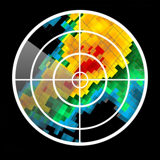
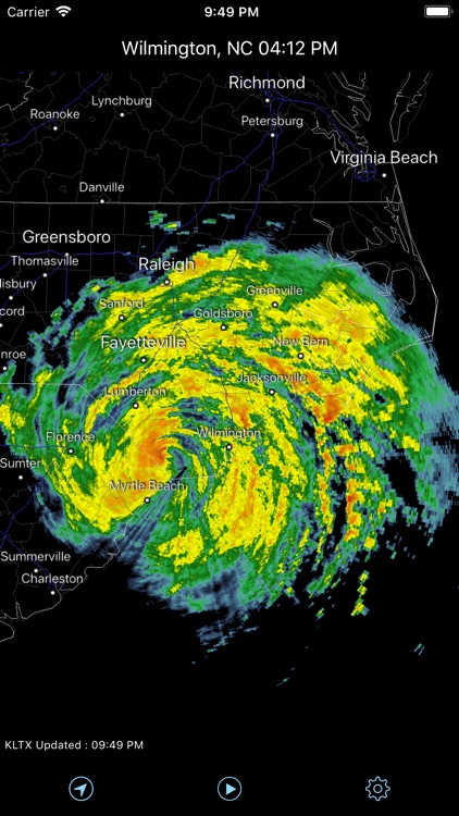
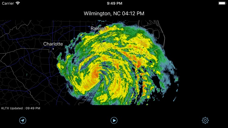
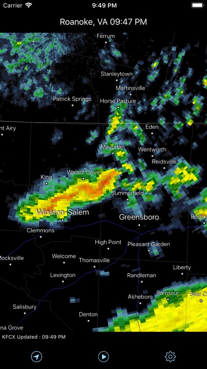
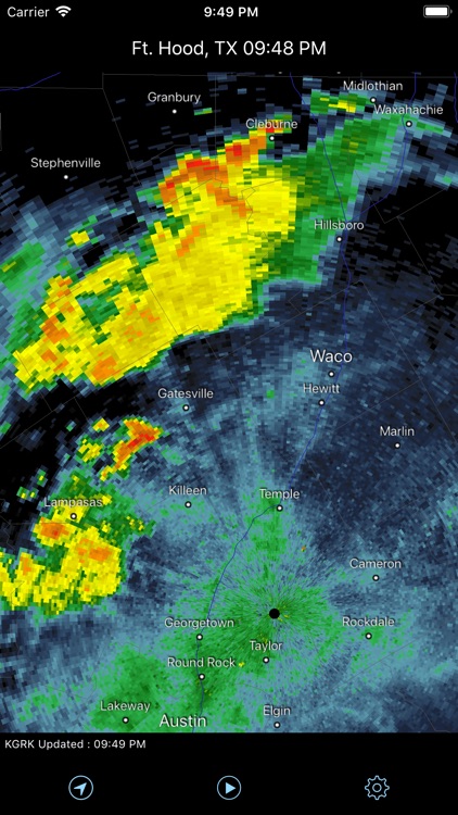
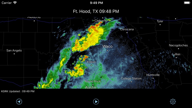
Radar Pro is an interactive Weather Radar application for anyone with a need for graphical weather updates on the go. It allows you to view the most up-to-date weather radar data - direct from the United States National Weather Service NEXRAD Level 3 Radar Network. Coverage includes the entire 50 states and Puerto Rico.
App Screenshots
App Store Description
Radar Pro is an interactive Weather Radar application for anyone with a need for graphical weather updates on the go. It allows you to view the most up-to-date weather radar data - direct from the United States National Weather Service NEXRAD Level 3 Radar Network. Coverage includes the entire 50 states and Puerto Rico.
What sets Radar Pro apart from other weather radar apps is that Radar Pro receives radar data directly from the National Weather Service operational servers. The images are in their true, original format and not a smoothed graphic - smoothing any data reduces its accuracy. This means the radar data is the most accurate view of precipitation freely available to the public.
Set the Radar In Motion -- easily begin an animation loop to view storm motion over the past several minutes.
Know exactly where a storm is and where it's going and how it could impact you -- set the radar image in motion and easily begin an animation loop to view storm motion over the past several minutes; and with one touch, your current location is marked on the map so you'll always know where you are in relation to precipitation or severe weather warnings.
Radar Features:
● Level 3 NEXRAD display to 248 nautical miles
● Animation
● User Configurable Data Updates Rates
● Favorite Radar List
● Radar Site Status Information
● Complete US coverage including Alaska, Hawaii, and Puerto Rico
● 154 Radar Sites
Map Features:
● Auto radar selection
● Pinch to Zoom In and Out
● Swipe to Pan
● Complete US/Canada/Mexico outline
● Cities and Towns
● State Boundaries
● County Boundaries
● Major Highways
● Radar Selection via Map
Disclaimer:
AppAdvice does not own this application and only provides images and links contained in the iTunes Search API, to help our users find the best apps to download. If you are the developer of this app and would like your information removed, please send a request to takedown@appadvice.com and your information will be removed.
AppAdvice does not own this application and only provides images and links contained in the iTunes Search API, to help our users find the best apps to download. If you are the developer of this app and would like your information removed, please send a request to takedown@appadvice.com and your information will be removed.