You are using an outdated browser. Please
upgrade your browser to improve your experience.
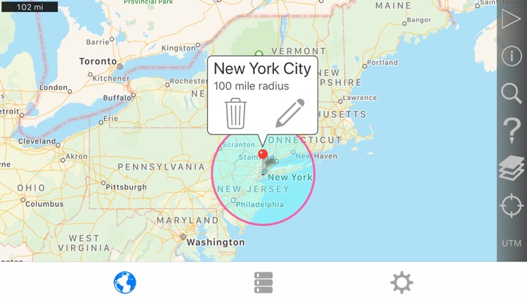
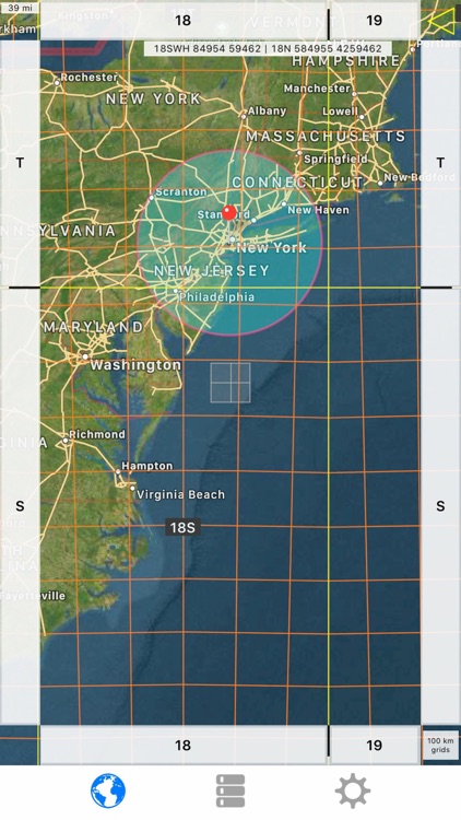
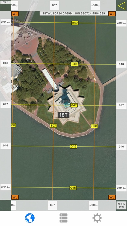
Easily make a radius on a map and share a url showing the radius via email or text message that can be viewed with any browser

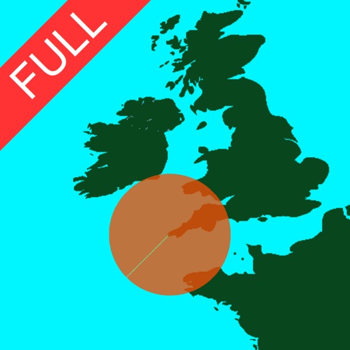
Radius on Map Full Version
by TappiApps
What is it about?
Easily make a radius on a map and share a url showing the radius via email or text message that can be viewed with any browser.
App Screenshots
App Store Description
Easily make a radius on a map and share a url showing the radius via email or text message that can be viewed with any browser.
Extra functionality of the full version includes:
- Lock a radius center to your current location.
- Support for landscape and iPad split screen.
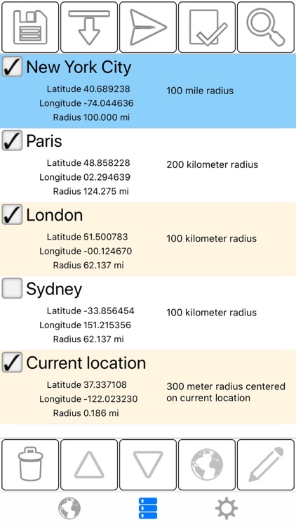
- Share multiple radii in one url.
- Import radii stored as polygons in a .kml or .kmz file. You can import a file from a cloud service such as iCloud or Dropbox.
- Export your radii as polygons saved to a kml file to view in Google Earth™ or other mapping applications. You can attach the .kml file to an email or save to iCloud, Dropbox, etc.
- Ability to specify which radii show on the map by selecting them in the list view.
- Search for keywords in name and/or notes field to find a specific radius.
- Custom message header and footer.
- No adverts
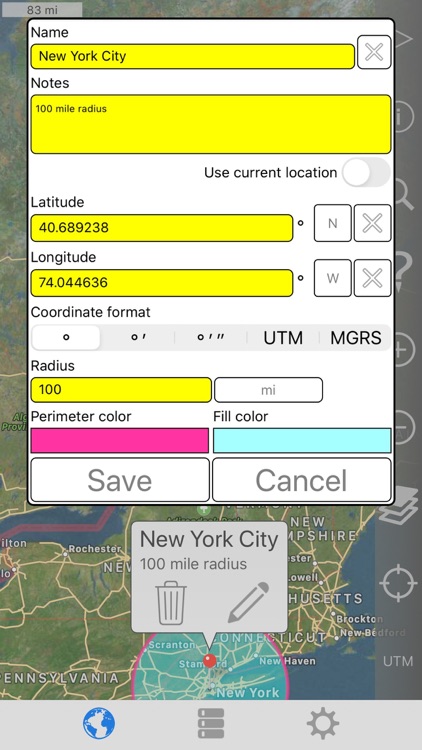
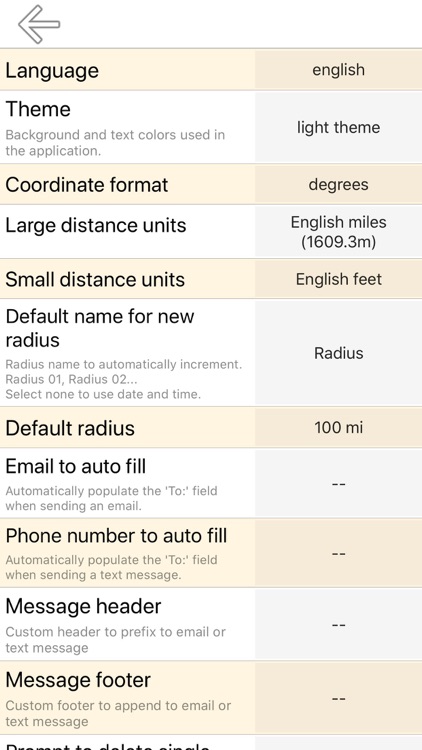
Properties for each radius:
- Center coordinate
- Radius
- Fill color and opacity
- Perimeter color and opacity
- Name
- Notes (optional)
Coordinate formats include:
- Degrees
- Degrees, Minutes
- Degrees, Minutes, Seconds
- UTM (Universal Transverse Mercator)
- MGRS (Military Grid Reference System)
Distance units include:
- Kilometers
- Miles
- Nautical miles
- Meters
- Yards
- Feet
Loading satellite maps requires an internet connection.
Datum used is WGS-84.
Please visit the support page for more details.
Disclaimer:
AppAdvice does not own this application and only provides images and links contained in the iTunes Search API, to help our users find the best apps to download. If you are the developer of this app and would like your information removed, please send a request to takedown@appadvice.com and your information will be removed.
AppAdvice does not own this application and only provides images and links contained in the iTunes Search API, to help our users find the best apps to download. If you are the developer of this app and would like your information removed, please send a request to takedown@appadvice.com and your information will be removed.