You are using an outdated browser. Please
upgrade your browser to improve your experience.

The Rangelands Monitoring Tool is an application that allows pastoralists to conduct a self-assessment of their rangelands and report it back to a central repository

Rangelands Monitoring Tool
by Gascoyne Catchments Group Inc
What is it about?
The Rangelands Monitoring Tool is an application that allows pastoralists to conduct a self-assessment of their rangelands and report it back to a central repository.
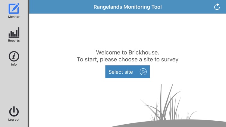
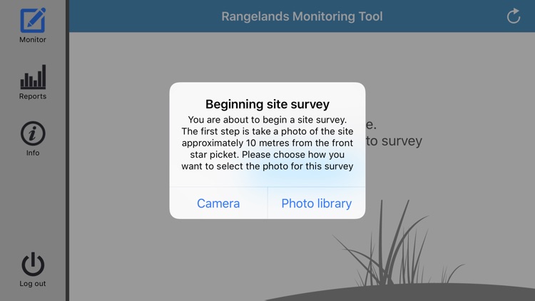
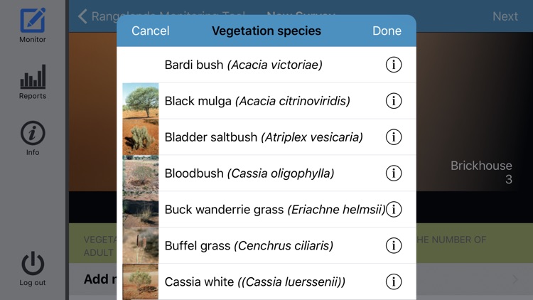
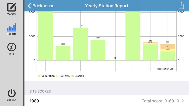
App Screenshots
App Store Description
The Rangelands Monitoring Tool is an application that allows pastoralists to conduct a self-assessment of their rangelands and report it back to a central repository.
It is a process of rangeland assessment that provides: perennial shrub and grass trends to monitor pasture composition and trends in range condition; monitoring for soil health, stability, infiltration rates and nutrient cycling; a method to record and assess the type and severity of rangeland erosion, and improved short term management decision on pastoral leases
The app uses a value-based approach, which removes any subjective conclusions to rangelands trends and provides a generic methodology that can be utilized by landholders.
The system classifies three components of rangeland health: Plants with each species nominated a value between 1 and 10 based on its environmental and commercial values; Soils with four soil attributes nominated a value between 1 and 10 based on their contribution to soil stability, nutrient cycling, and infiltration rates; Erosion with three main types of erosion given a negative value between 0 and -10 based on their adverse impacts on soil stability, infiltration rates and nutrient cycling.
The values when applied in the app, generate a Site Stability Index (SSI) which then becomes a benchmark for change in the site, land system, property or catchment.
Four different types of reports are capable of being produced from a property perspective.
Site report – allows you to see a graph on all historical SSIs for that specific site over the years and then drill down into each survey to see how it achieved that SSI.
Vegetation species report – by selecting a site you can then choose the vegetation species that you want to inquire about.
Land systems report – this report shows you a graph of what the SSI has been for the site over all the surveyed years.
Station report – the station report shows all the sites surveyed over the property within their SSI.
Disclaimer:
AppAdvice does not own this application and only provides images and links contained in the iTunes Search API, to help our users find the best apps to download. If you are the developer of this app and would like your information removed, please send a request to takedown@appadvice.com and your information will be removed.
AppAdvice does not own this application and only provides images and links contained in the iTunes Search API, to help our users find the best apps to download. If you are the developer of this app and would like your information removed, please send a request to takedown@appadvice.com and your information will be removed.