You are using an outdated browser. Please
upgrade your browser to improve your experience.

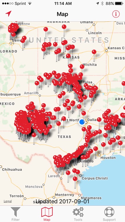
RigData Mobile is an interactive map application that displays the location and status of all working oil & gas drilling rigs in the United States

RigData Mobile
by Drilling Info, Inc
What is it about?
RigData Mobile is an interactive map application that displays the location and status of all working oil & gas drilling rigs in the United States. The data is updated daily and is drawn from RigData and their ongoing survey of drilling contractors and oil & gas operating companies.
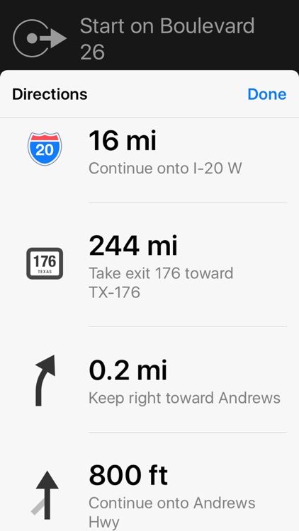
App Screenshots
App Store Description
RigData Mobile is an interactive map application that displays the location and status of all working oil & gas drilling rigs in the United States. The data is updated daily and is drawn from RigData and their ongoing survey of drilling contractors and oil & gas operating companies.
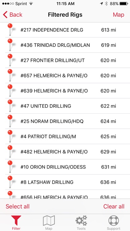
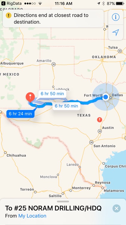
The information is used by sales and marketing staff, analysts and management of oil & gas companies, drilling contractors, energy service companies and financial service companies to monitor drilling activity for one rig or all rigs in an area. It is an essential tool for sales prospecting, trip routing and driving directions, viewing competitor’s activity and tracking rig availability and utilization.
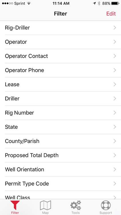
Pick the entire US or just the regions you need. Filter by key elements like operating company, state or county, spud date, or rig and drilling contractor. All complete with operator contact details. View by road map or satellite imagery. Everything you need to be effective and efficient in the field including longitude and latitude. The immediate availability of critical data displayed geographically fully exploits the strengths of the iPhone platform.
Disclaimer:
AppAdvice does not own this application and only provides images and links contained in the iTunes Search API, to help our users find the best apps to download. If you are the developer of this app and would like your information removed, please send a request to takedown@appadvice.com and your information will be removed.
AppAdvice does not own this application and only provides images and links contained in the iTunes Search API, to help our users find the best apps to download. If you are the developer of this app and would like your information removed, please send a request to takedown@appadvice.com and your information will be removed.