You are using an outdated browser. Please
upgrade your browser to improve your experience.
The first of the project activities involves categorization and selection of the roman sites and objects

RomanForts
by NrjSoft Ltd.


What is it about?
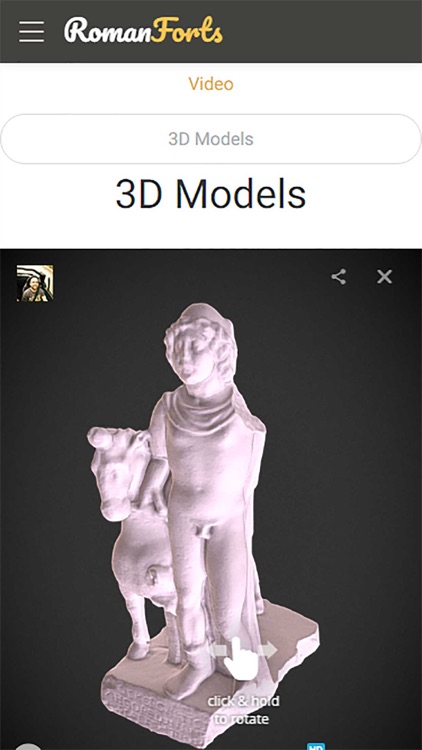
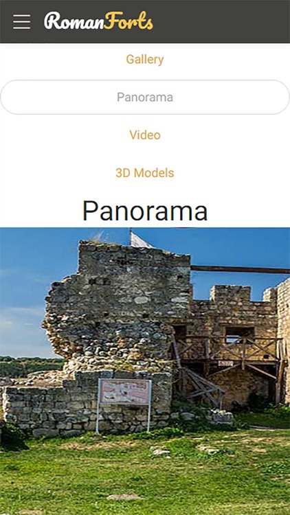
The first of the project activities involves categorization and selection of the roman sites and objects. After analyzing all possibilities we will make a list of the most important and significant targets and we will collect all available documents, photographs, videos, historical details, etc. about them. Additional information will be obtained by on-site ground and aerial images and video clips. All data will then be prepared, processed and popularized using a specially designed for the purpose web-based platform and applications for mobile devices. The aerial and ground images will be used for creation of detailed 3D models of the sites, which will later be printed using 3D printers and will be presented to the mass public in museum exhibitions by the partners in the project. The project budget will be used for equipment purchases, the development of the content platforms and the on-site shots.
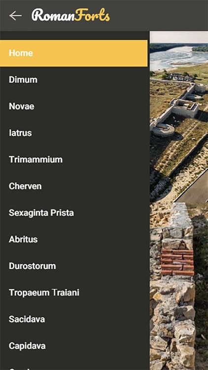
App Screenshots
App Store Description
The first of the project activities involves categorization and selection of the roman sites and objects. After analyzing all possibilities we will make a list of the most important and significant targets and we will collect all available documents, photographs, videos, historical details, etc. about them. Additional information will be obtained by on-site ground and aerial images and video clips. All data will then be prepared, processed and popularized using a specially designed for the purpose web-based platform and applications for mobile devices. The aerial and ground images will be used for creation of detailed 3D models of the sites, which will later be printed using 3D printers and will be presented to the mass public in museum exhibitions by the partners in the project. The project budget will be used for equipment purchases, the development of the content platforms and the on-site shots.
Disclaimer:
AppAdvice does not own this application and only provides images and links contained in the iTunes Search API, to help our users find the best apps to download. If you are the developer of this app and would like your information removed, please send a request to takedown@appadvice.com and your information will be removed.
AppAdvice does not own this application and only provides images and links contained in the iTunes Search API, to help our users find the best apps to download. If you are the developer of this app and would like your information removed, please send a request to takedown@appadvice.com and your information will be removed.